Jump to Satellite Text Products
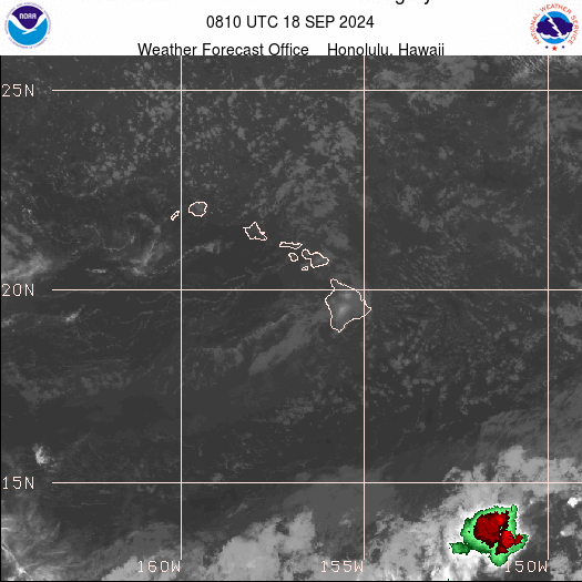
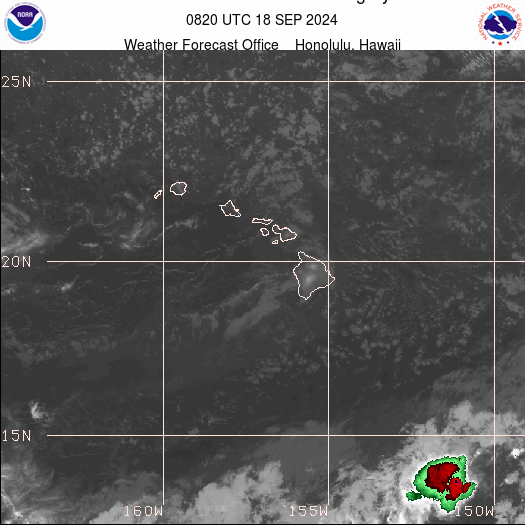
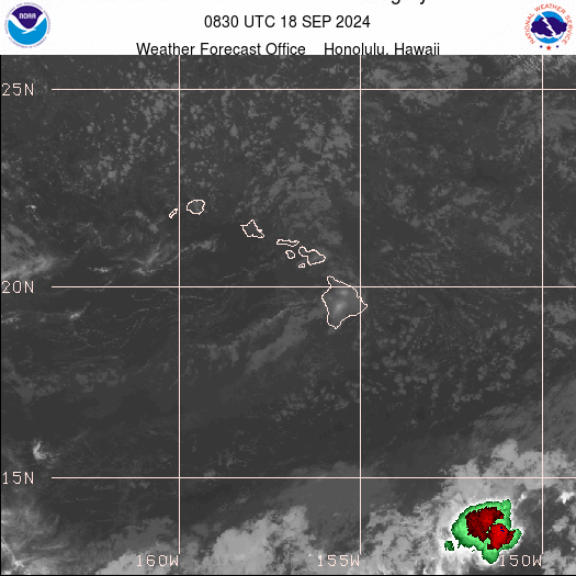
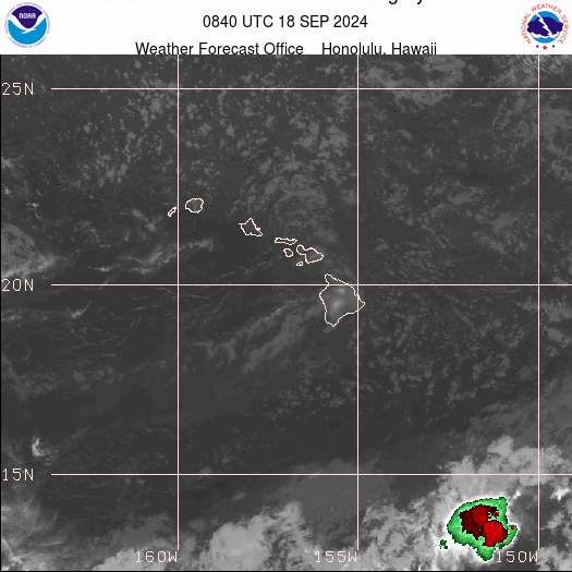
The images on this page have UTC time stamps. UTC is 10 hours ahead of HST.
We are aware the local imagery is not working properly and are working to address the issue.
IMPORTANT: The following links for imagery are to servers maintained by the Center for Satellite Applications and Research (STAR), a Division of the National Environmental Satellite, Data, and Information Service (NESDIS). These images are not maintained by WFO Honolulu. If you are experiencing problems accessing these images, contact NESDIS.STAR.Webmaster@noaa.gov
The satellite desk routinely issues products covering approximately 15,000,000 square miles in support of Central Pacific Hurricane Center operations.


