Overview
|
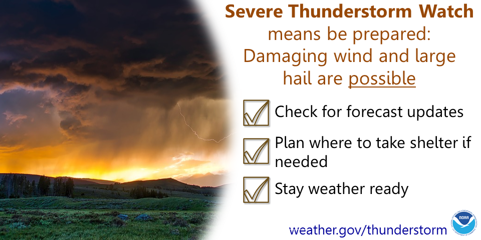
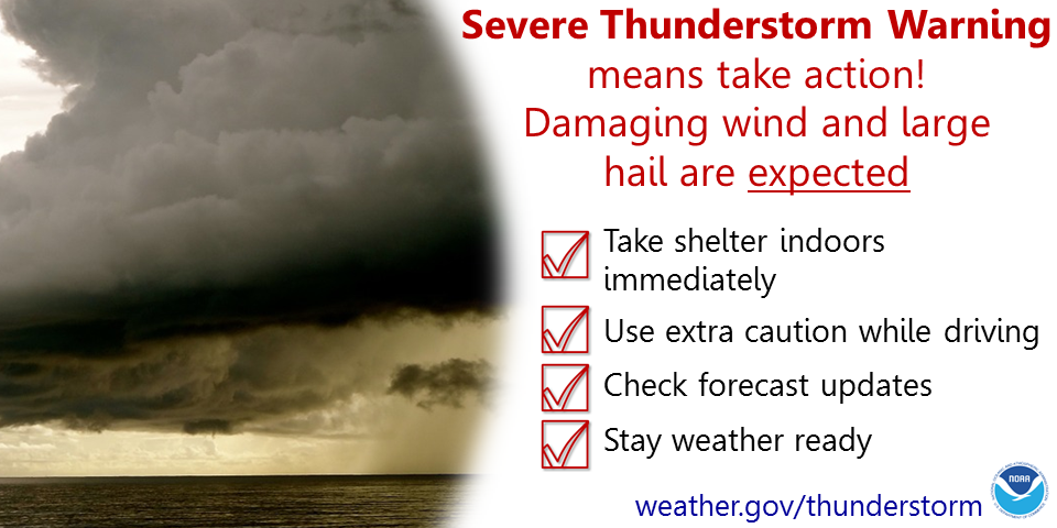
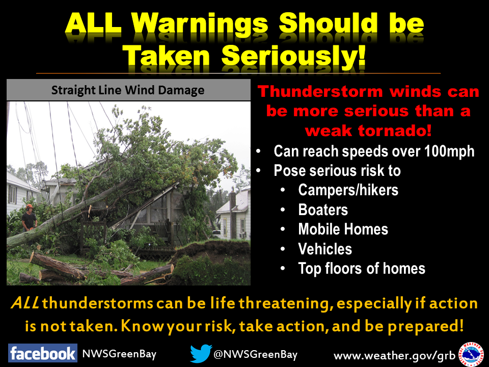
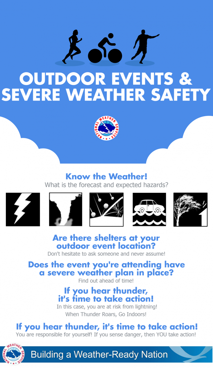
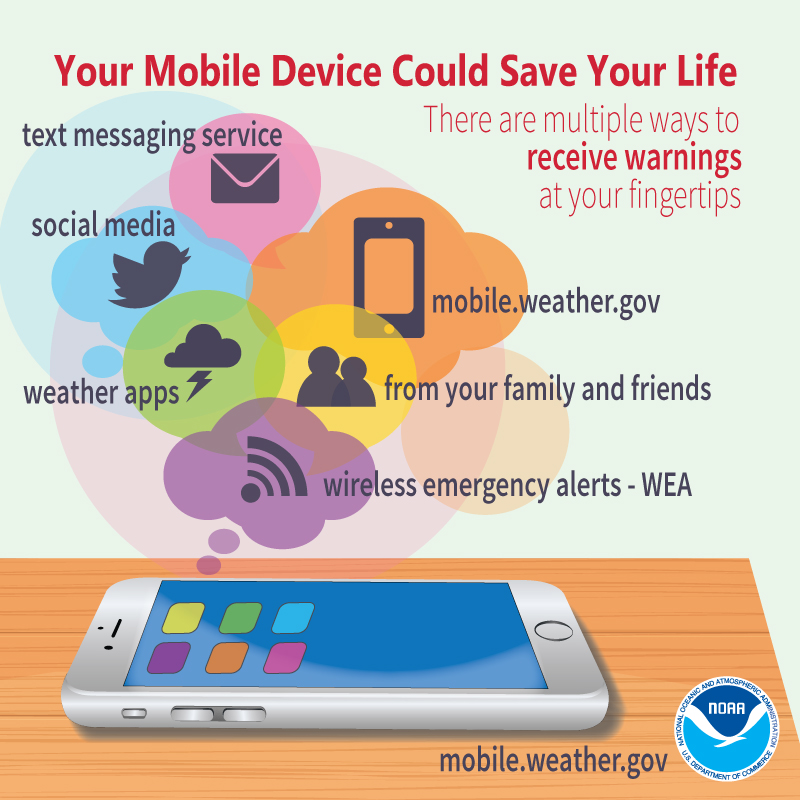
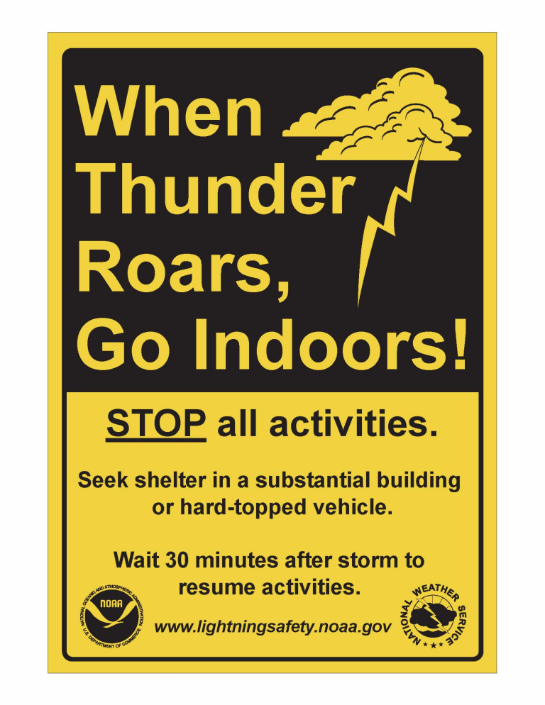
As of 6:30 PM, most of the thunderstorm activity had moved east into Lake Michigan. Rain will continue across east- central Wisconsin this evening. Another round of thunderstorms is possible late tonight, but the severe potential does not look as likely. Make sure you follow the forecast and have a way to get the latest weather information, including any watches or warnings. If you are planning outdoor activities in the risk area, have alternate plans in place, including knowing where the nearest sturdy shelter is, in the event severe weather threatens your area.
Please click on the tabs below for more information. Click on any image for a larger view. |
SPC Day 1 Outlook (discussion) |
Latest Watches & Warnings
|
|
 Current Watches, Warnings, & Advisories Current Watches, Warnings, & Advisories |
|
 National Hazards Map National Hazards Map |
 Current Convective Watches Current Convective Watches |
SPC Outlooks
 Day 1 (discussion) Day 1 (discussion) |
 Day 1 Tornado Probabilities Day 1 Tornado Probabilities |
 Day 1 Hail Probabilities Day 1 Hail Probabilities |
 Day 1 Wind Probabilities Day 1 Wind Probabilities |
 Day 2 (discussion) Day 2 (discussion) |
 Day 2 Probabilities Day 2 Probabilities |
 Day 3 (discussion) Day 3 (discussion) |
 Day 3 Probabilities Day 3 Probabilities |
 Mesoscale Discussions (more info) Mesoscale Discussions (more info) |
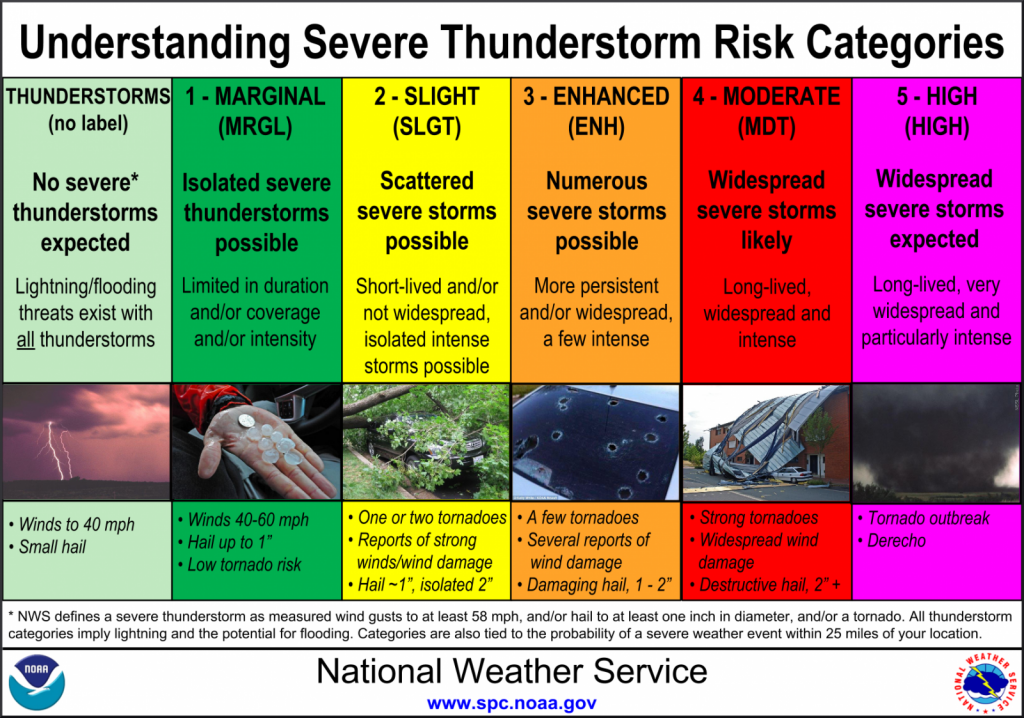 Severe Storm Risk Categories Severe Storm Risk Categories |
|
Radar & Satellite
| Radar Data | ||
 |
|
|
|
|
||
    |
||
| Satellite Imagery | |||
|
|
|
Visible (Click here for LOOP) |
|
Severe Weather Reports
|
Today's Storm Reports |
|
|
Yesterday's Storm Reports |
|
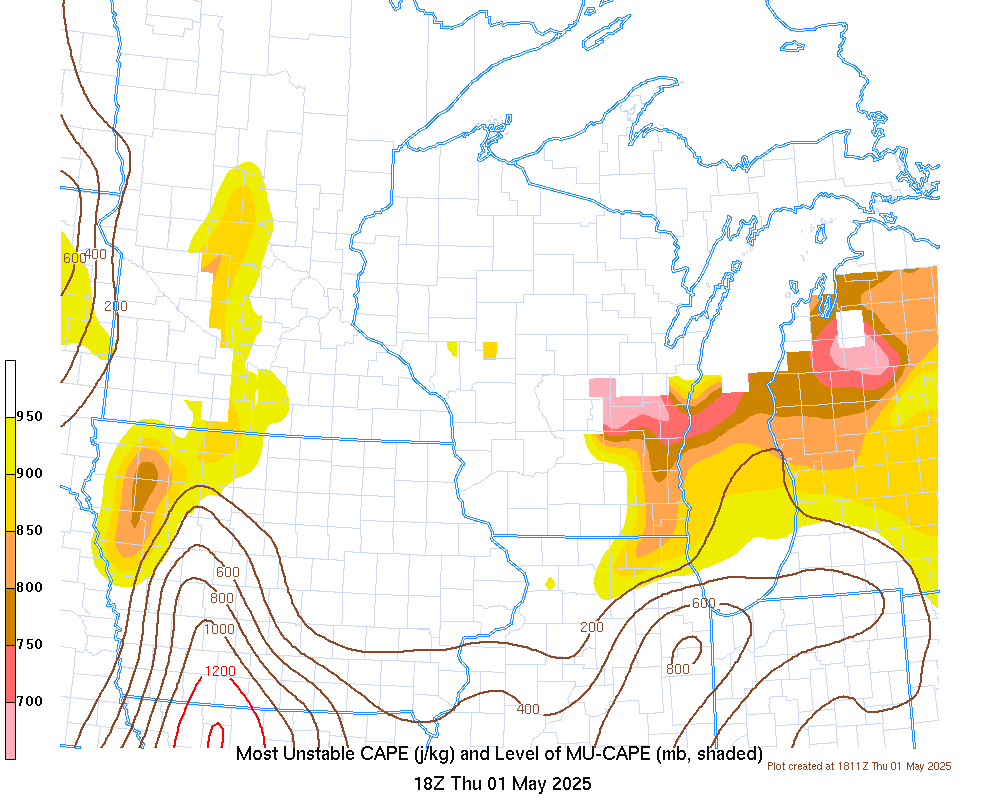
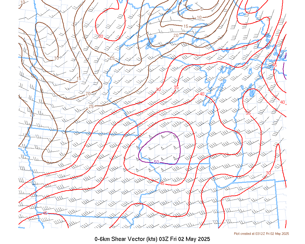
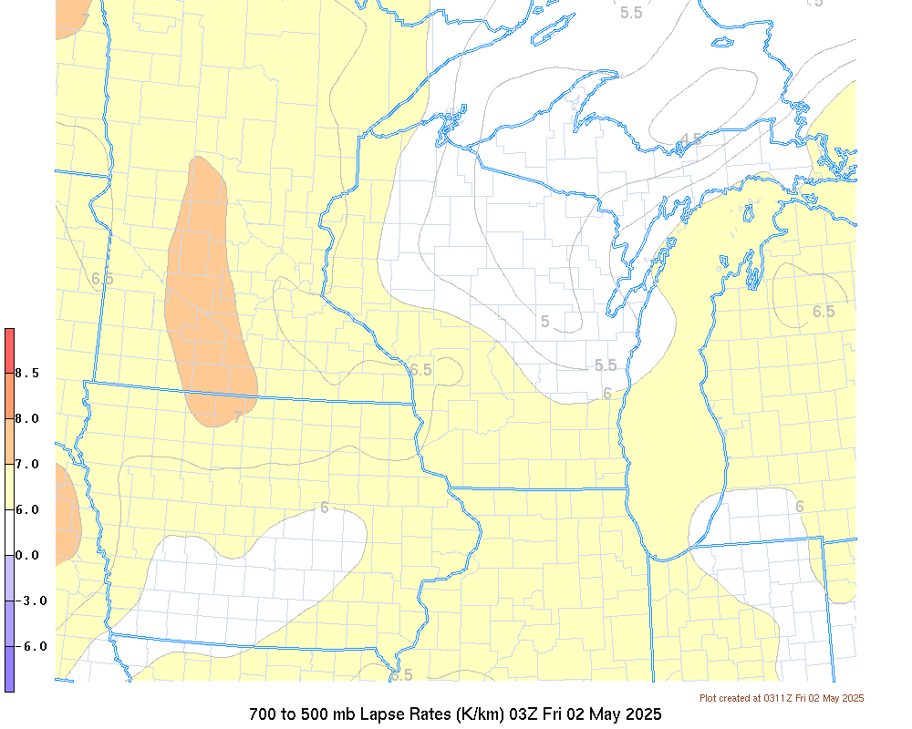
Nowcast Tools
|
|
|
|
|
|
|
Other Forecast Tools:
|
 |
Media use of NWS Web News Stories is encouraged! Please acknowledge the NWS as the source of any news information accessed from this site. |
|


 "
"