Key Points:
Above normal precipitation (rain/melted snow) and a few periods of snowmelt over the past month have resulted in improving drought conditions across northeast WI.
The area of Severe Drought (D2) is now confined to southeast Forest and northwest Marinette counties.
Except for portions of central WI and over northern Vilas County, the remainder of the area remains in Abnormally Dry (D0) or Moderate Drought (D1) due to long term precipitation deficits.
Despite some rainfall during the past month, most of the rain ran off due to frozen ground.
Discussion:
Below normal rainfall was first noted in August and continued into September across portions of northeast Wisconsin. The dryness increased in magnitude in October, with many locations recording less than 75% of normal precipitation for the month. During November, precipitation totals were less than 50% of normal across the entire area. The dry conditions led to two large grass/marsh fires. Despite above normal snowfall in December, the low water content of the snow combined with air and ground temperatures below freezing has prevented the moisture from entering the soil. Above normal precipitation (rain/melted snow) in January has led to improvement in drought conditions across north-central and northeast WI.
View the latest Drought Information Slides and Drought Text Statement for northeast Wisconsin for more detailed information. Drought statements for other areas here.
Drought Conditions
|
|
 |
 |
|
Link to Drought Portal
Link to Drought Impacts Toolkit
Report drought impacts in your area
Drought Factors and Impacts
Note, data in these images are from the current date and may include rain after the Drought Monitor valid time.
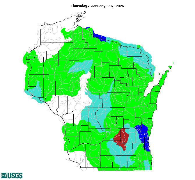
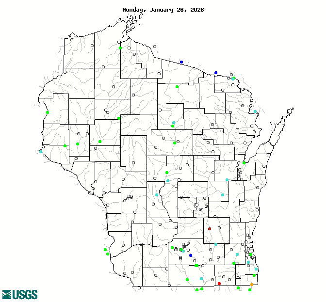
| 28 Day Streamflow Compared to Normal (Note...may take a minute or two to load) |
28 Day Streamflow Compared to Normal (Note...may take a minute or two to load) |
 |
 |
| Soil Moisture Percentile | |
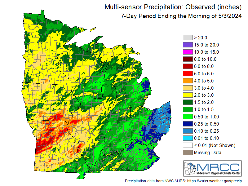
Observed precipitation over the past 7 days:
| 30 Day Precipitation Departures | 90 Day Precipitation Departures |
 |
 |
| 6 Month Precipitation Departures | 1 Year Precipitation Departures |
 |
 |
More detailed precipitation anomalies available on this interactive map.
Link to USDA crop info for Wisconsin
Link to DNR Fire Danger
Looking Ahead
| 7 Day Precipitation Forecast |
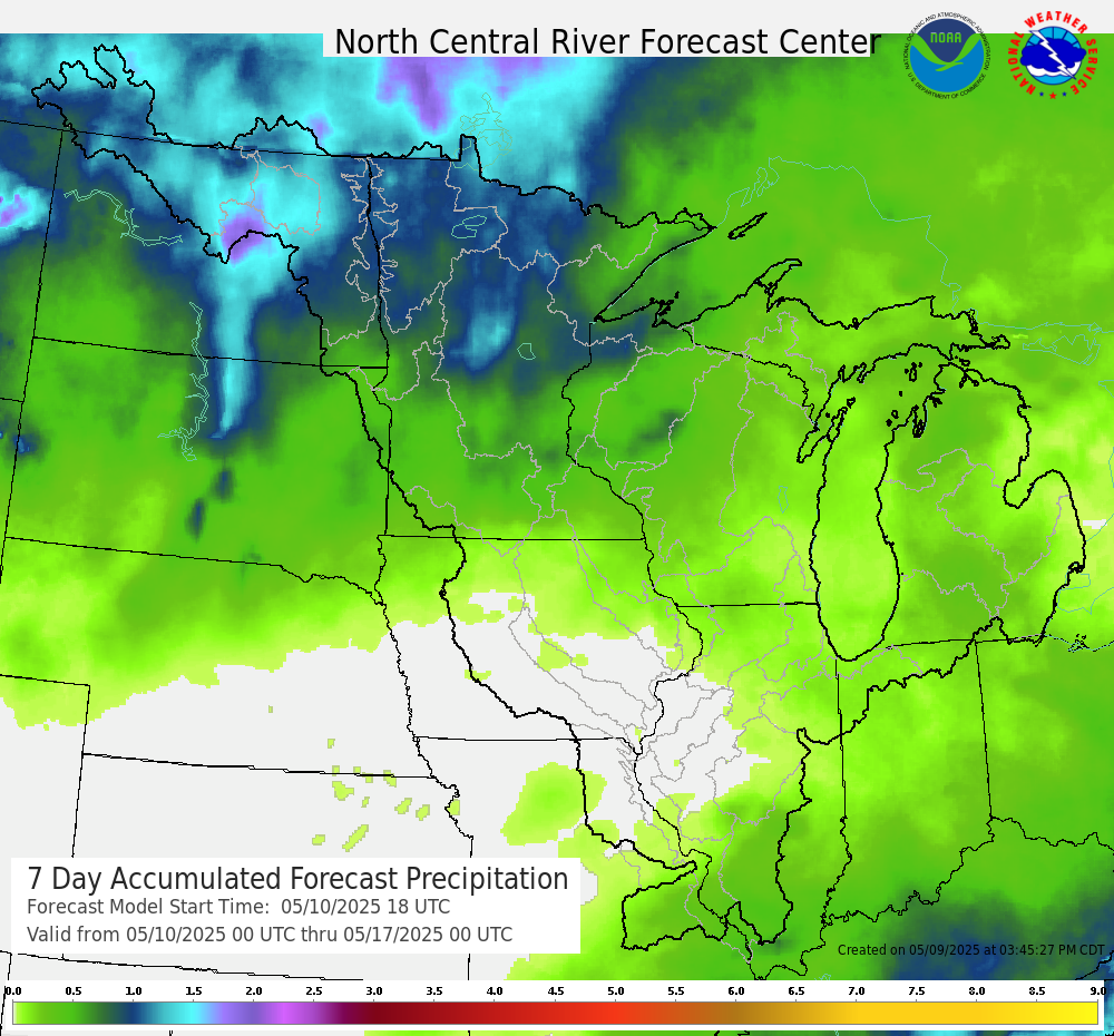 |
Extended outlooks from the Climate Prediction Center:
| 8 to 14 Day Temperature Outlook | 8 to 14 Day Precipitation Outlook |
 |
 |
| Month Temperature Outlook | Month Precipitation Outlook |
 |
 |
| Seasonal Temperature Outlook | Seasonal Precipitation Outlook |
 |
 |
Additional Information
Report drought impacts in your area.
If you have any questions, comments, or drought impacts to report please contact:
National Weather Service Green Bay
nws.greenbay@noaa.gov
 |
Media use of NWS Web News Stories is encouraged! Please acknowledge the NWS as the source of any news information accessed from this site. |
|


