Overview
|
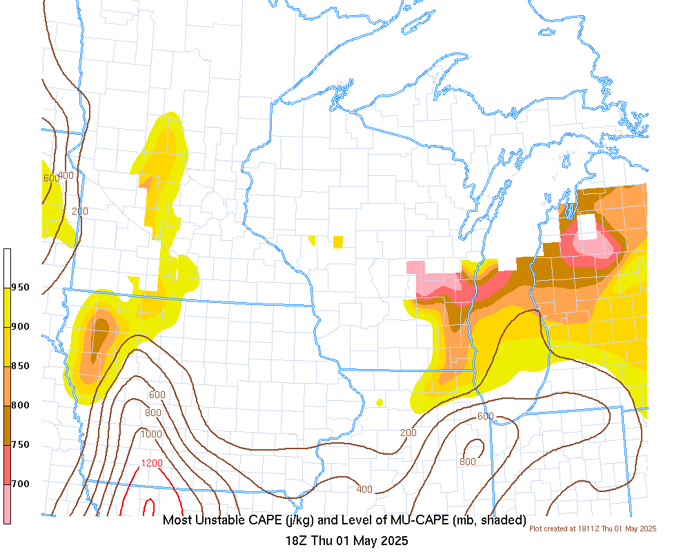
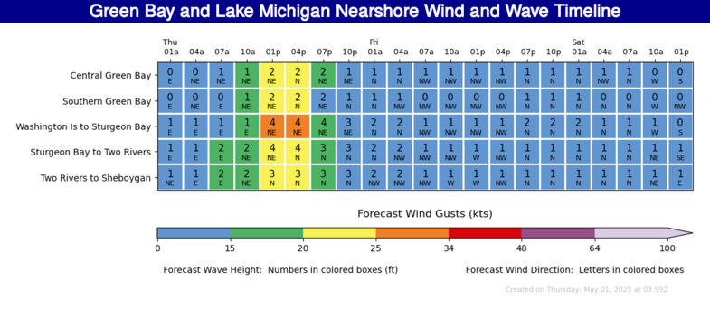
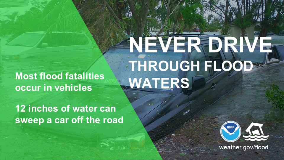
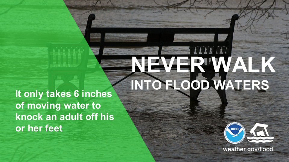
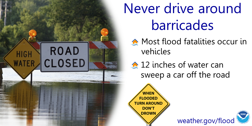
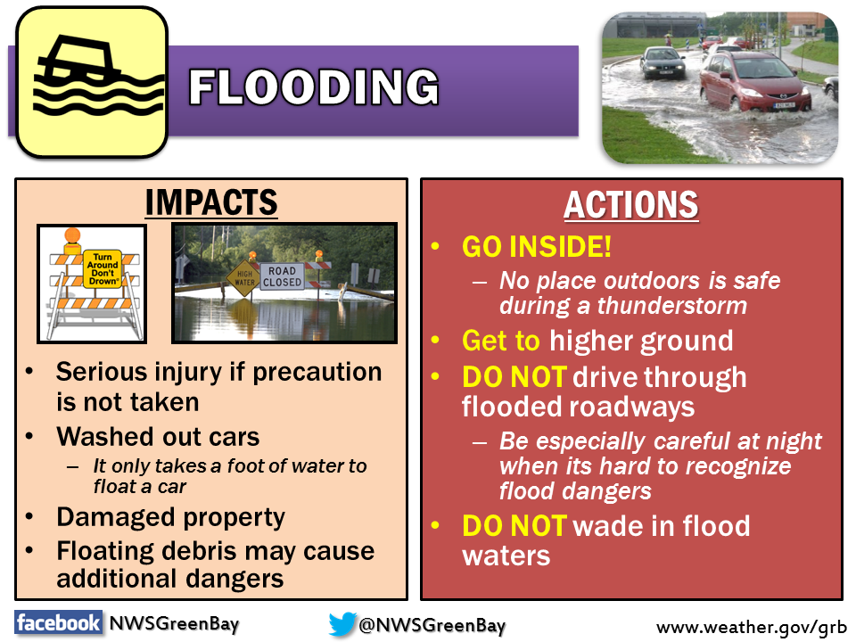
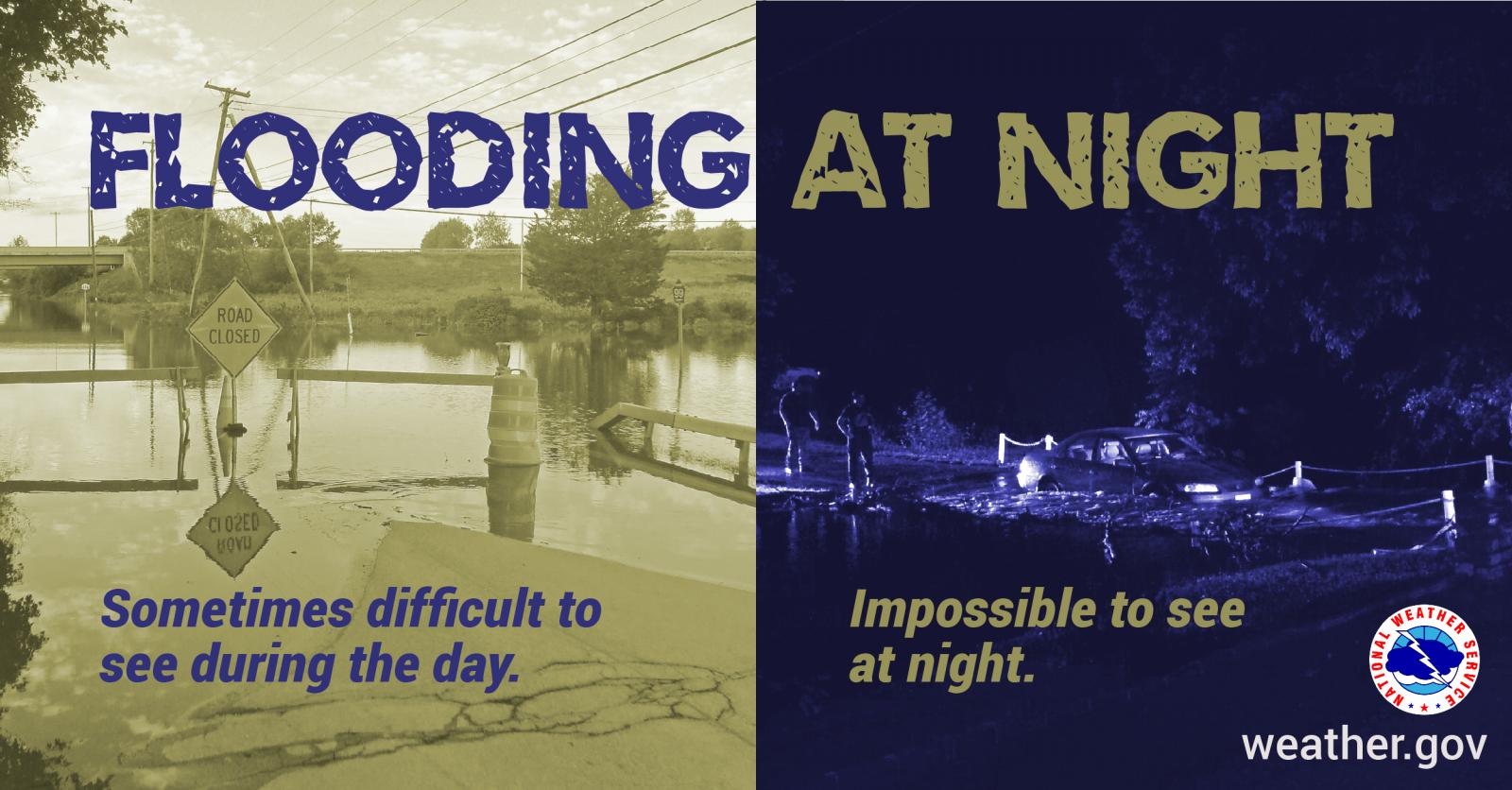
Flooding: Moderate to occasionally heavy rain is expected through early Thursday morning. A few thunderstorms are also possible, especially across central and east central WI. Rainfall totals of 1 to 2 inches are expected over a widespread area, with locally higher amounts possible. This is expected to impact all of central to northeastern WI. The heavy rain could lead to urban, rural, river and small stream flooding. If you are in a flood prone area, be prepared for rapidly changing conditions. Remember, if you come upon a flooded roadway...Turn Around, Do Not Drown! Marine: ENE-NE winds will gusty through late this evening, reaching up to 20-25 knots, with a few gusts up to 30 knots. Waves of 5 to 8 feet are expected on Lake Michigan and 3 to 6 feet on Green Bay into Thursday. Make sure you follow the forecast and have a way to get the latest weather information, including any flood advisories or warnings.
Please click on the tabs below for more information. Click on any image for a larger view. |
|
  |
|
Latest Watches & Warnings
|
|
 Current Watches, Warnings, & Advisories Current Watches, Warnings, & Advisories |
|
 National Hazards Map National Hazards Map |
 Current Convective Watches Current Convective Watches |
Rainfall Forecasts / Flooding
|
|
 WPC Rainfall Forecast Day 2 (more info) WPC Rainfall Forecast Day 2 (more info) |
 WPC Rainfall Forecast Day 3 (more info) WPC Rainfall Forecast Day 3 (more info) |
 WPC Rainfall Forecast Days 1-3 (more info) WPC Rainfall Forecast Days 1-3 (more info) |
 WPC Excessive Rainfall Day 1 (discussion) WPC Excessive Rainfall Day 1 (discussion) |
 WPC Excessive Rainfall Day 2 (discussion) WPC Excessive Rainfall Day 2 (discussion) |
 WPC Excessive Rainfall Day 3 (discussion) WPC Excessive Rainfall Day 3 (discussion) |
 WPC Mesoscale Precip Discussions (more info) WPC Mesoscale Precip Discussions (more info) |
|
SPC Outlooks
 Day 1 (discussion) Day 1 (discussion) |
 Day 1 Tornado Probabilities Day 1 Tornado Probabilities |
 Day 1 Hail Probabilities Day 1 Hail Probabilities |
 Day 1 Wind Probabilities Day 1 Wind Probabilities |
 Day 2 (discussion) Day 2 (discussion) |
 Day 2 Probabilities Day 2 Probabilities |
 Day 3 (discussion) Day 3 (discussion) |
 Day 3 Probabilities Day 3 Probabilities |
 Mesoscale Discussions (more info) Mesoscale Discussions (more info) |
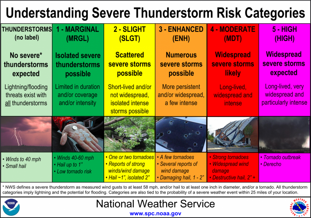 Severe Storm Risk Categories Severe Storm Risk Categories |
|
|
|
|
|
|
Other Forecast Tools: |
||
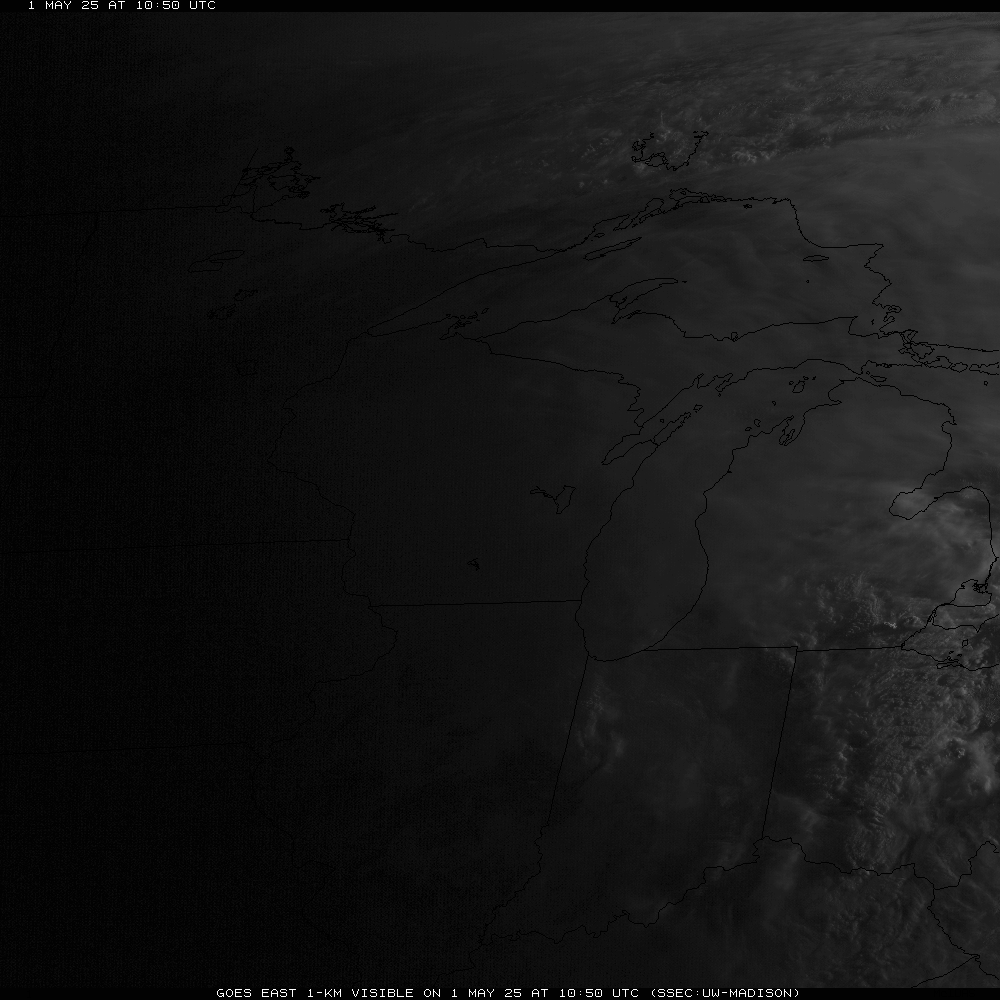
Radar & Satellite
| Radar Data | ||
 |
|
|
|
|
||
    |
||
| Satellite Imagery | ||
|
Visible (Click here for LOOP) |
|
|
Severe Weather Reports
|
Today's Storm Reports |
Yesterday's Storm Reports |
 |
Media use of NWS Web News Stories is encouraged! Please acknowledge the NWS as the source of any news information accessed from this site. |
|


 "
"