Green Bay, WI
Weather Forecast Office
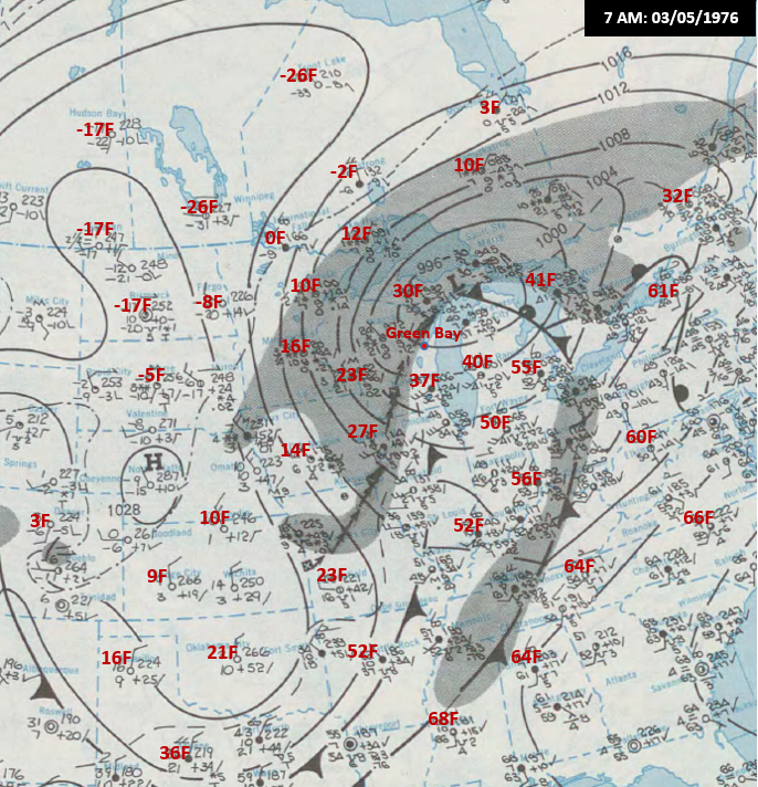
March 4th & 5th will mark the 45th anniversary of the historic ice storm to hit the southern third of Wisconsin. Moderate to significant ice accumulations made it as far north as Calumet and Manitowoc counties in northeast Wisconsin. Some ice accumulations ranged up to a phenomenal 5 inches in diameter on wires and limbs of trees across southern Wisconsin. To the north of the severe icing, heavy snow was noted across central into northeast Wisconsin. At Green Bay, some minor sleet and freezing rain was noted, but most of the precipitation fell as snow.
Click on the link for a full write up on the event: https://www.weather.gov/media/
Weather Map at 7 AM 03/05/1976
US Dept of Commerce
National Oceanic and Atmospheric Administration
National Weather Service
Green Bay, WI
2485 South Point Road
Green Bay, WI 54313-5522
920-494-2363
Comments? Questions? Please Contact Us.

