The Leap Year Winter Storm of 2012
Last updated 3/1/12
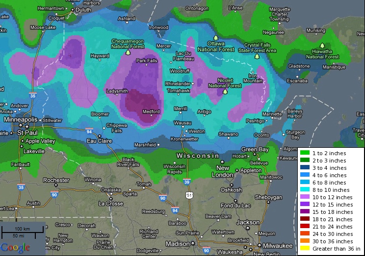
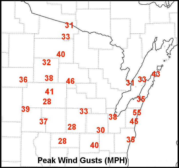
A strong winter storm produced a large area of heavy, wet snow across parts of Wisconsin and Minnesota on February 28-29, 2012. A widespread snowfall of 8 to 16 inches, with locally higher amounts along with frequent wind gusts over 30 mph, affected much of north-central and far northeast Wisconsin. Snow fell at two to three inches per hour in the heaviest bands! Less snow fell in central and east-central Wisconsin as milder air surged north ahead of the storm system. Click here for a snowfall map (amounts through 9 am) from storm spotters across the region.
The wet snow and strong winds caused power outages to as many as 14,000 homes and businesses at the height of the storm. In addition, some roads in northern Wisconsin were nearly impassable for a period of time during the heaviest snowfall.
The snow developed as low pressure moved from Colorado to Wisconsin. Copious amounts of moisture moved into the region from the Gulf of America. The storm system also produced killer tornadoes and severe thunderstorms from Kansas into Kentucky.
Snowfall (thru 7 am 2/29/12) and Wind Gusts (Click images for larger view):
 |
 |
Satellite, Radar, and Weather Maps (Large files--may take a moment to load. Click images for larger view):
Photos from North-Central Wisconsin (Click images for larger view):
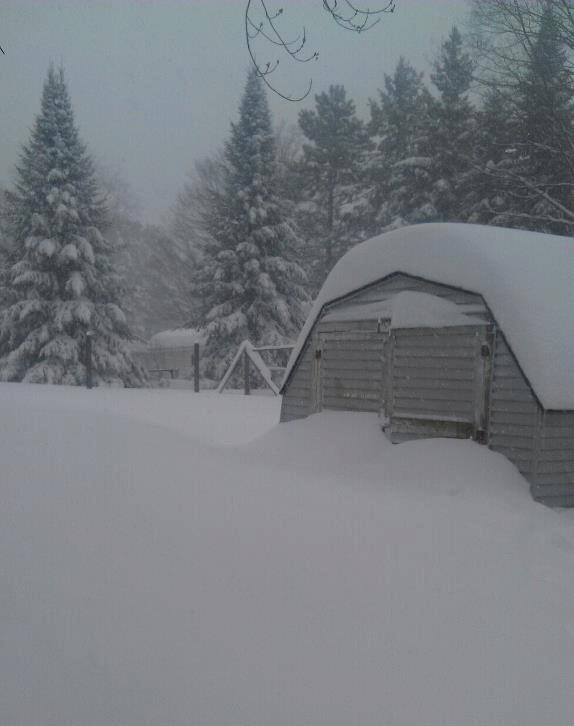
 18" of snow fell in Crandon. Photo courtesy WSAW-TV. |
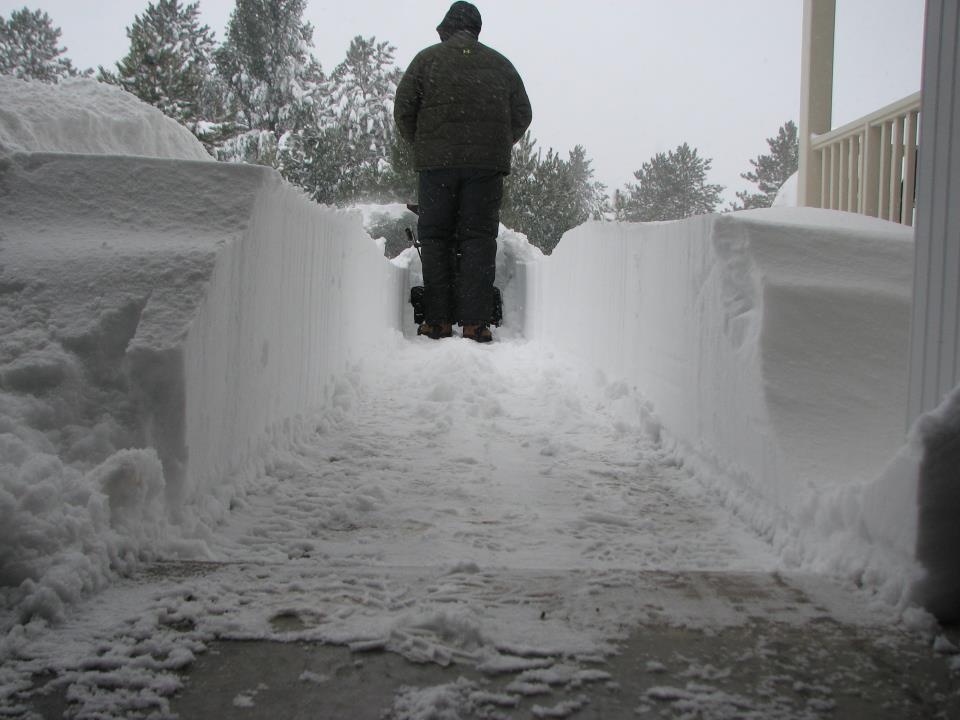
 20" was reported in Minocqua. Photo courtesy WSAW-TV. |