
Heat expands across the Desert Southwest, Plains, Mississippi Valley and Midwest into Monday. Fire weather concerns continue for portions of the Intermountain West. Active monsoonal moisture fuels thunderstorms over the Southwest with possible flash flooding. Tropical cyclone Fausto in the Pacific, should weaken as it approaches Hawaii; Dangerous surf, swells and rip currents are expected. Read More >
| 72 Hour Snow
Amount Potential
Experimental - Leave feedback
|
|
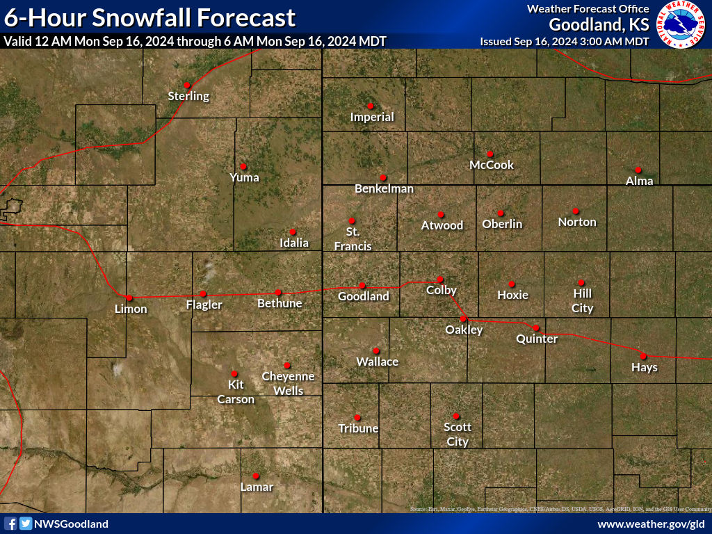
| Expected 72 Hour Snowfall - Official NWS Forecast
What's this? |
High End 72 Hour
Amount 1 in 10 Chance (10%) of Higher Snowfall What's this? |
| Low End
72 Hour Amount 9 in 10 Chance (90%) of Higher Snowfall What's this? |
|
| Percent Chance That 72 Hour
Snow Amounts in Will Be Greater Than...
Experimental - Leave feedback
What's
this?
|
||||||||||||||||
|
||||||||||||||||
| 72 Hour Snowfall Totals by
Location
Experimental - Leave feedback
What's
this?
|
|
|
| 72 Hour Ice
Accumulation Potential
Experimental - Leave feedback
|
|
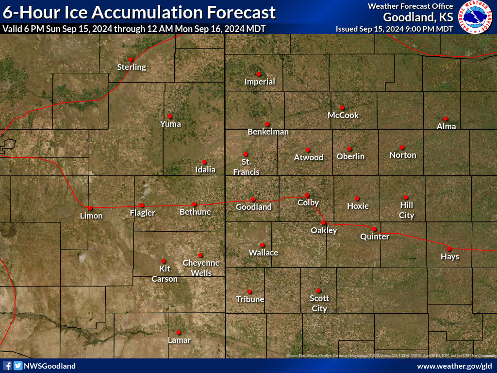
| Expected 72 Hour Ice Accumulation - Official NWS Forecast
What's this? This is the elevated flat surface ice accumulation. It is not radial/line ice. Radial/line ice is typically 39% of the elevated flat surface ice. For more information on this, see this module. |
High End 72 Hour
Amount 1 in 10 Chance (10%) of Higher Ice Accumulation What's this? |
| Low End
72 Hour Amount 9 in 10 Chance (90%) of Higher Ice Accumulation What's this? |
|
| Percent Chance That 72 Hour
Ice Accumulation Will Be Greater Than...
Experimental - Leave feedback
What's
this?
|
||||||||||||||||
|
||||||||||||||||
| 72 Hour Ice Accumulation by
Location
Experimental - Leave feedback
What's
this?
|
|
|
 |
 |
| Precipitation Onset/End Timing | ||
| Onset of Wintry Precipitation | End Timing of Wintry Precipitation | |
|---|---|---|
 |
 |
|
| What's this? | What's this? | |
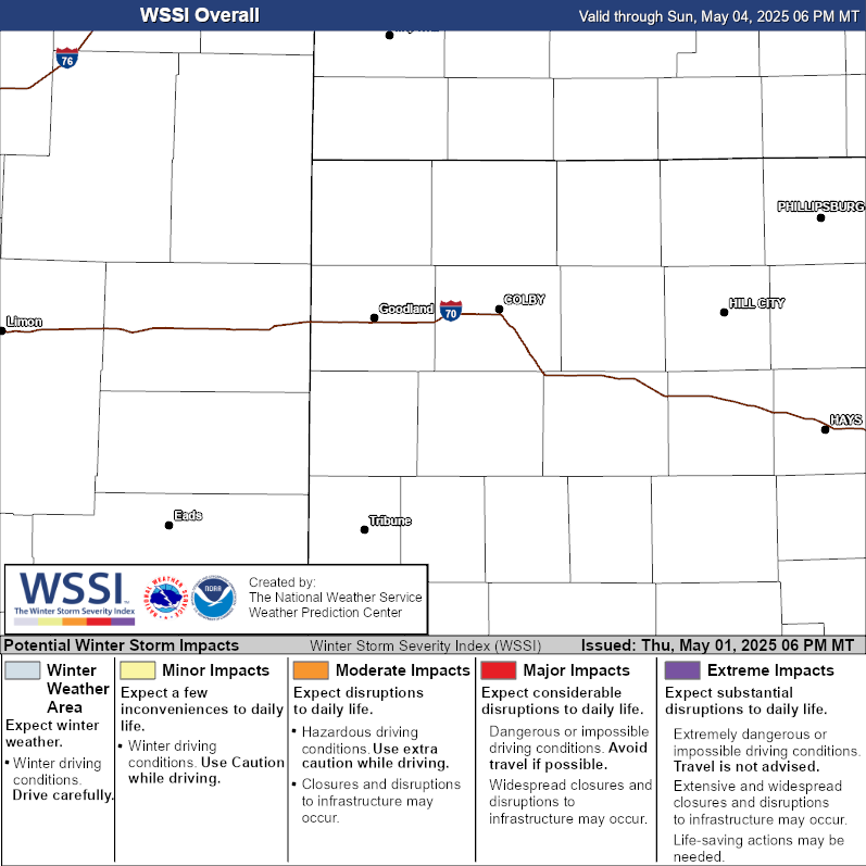
| Winter Storm Severity Index (WSSI) | Winter Storm Outlook (WSO) |
|---|---|
|

|
| Local Snow Reports | National Snowfall Analysis |
|---|---|
 |
 |
| Days 4-7 Winter Weather Outlook | |
| Day 4 Winter Weather Outlook | Day 5 Winter Weather Outlook |
 |
 |
| Day 6 Winter Weather Outlook | Day 7 Winter Weather Outlook |
 |
 |
| CPC Week-2 Experimental Heavy Snow Risk | |
 |
|
| CPC Temperature & Precipitation Maps | |
|
Days 6-10 |
|
| Temperature | Precipitation |
 |
 |
|
Days 8-14 |
|
| TEMPERATURE | PRECIPITATION |
 |
 |
|
Week 3-4 |
|
|
TEMPERATURE |
PRECIPITATION |
 |
 |
| Snow Character (Wet/Dry)
Prototype: These tools are NOT
operationally supported.
What's this?
|
 |
| Selected City Charts | |
Expected
Snowfall - Box and Whisker Plot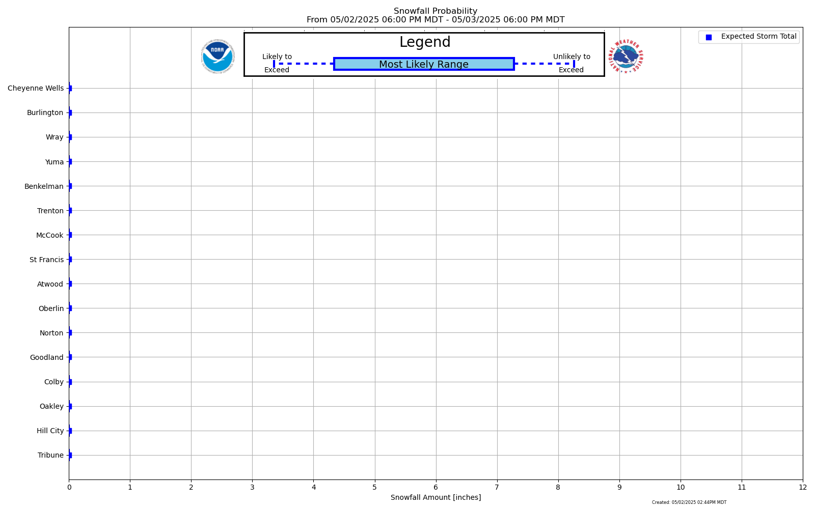
|
Expected
Snowfall - Exceedance Bar Plot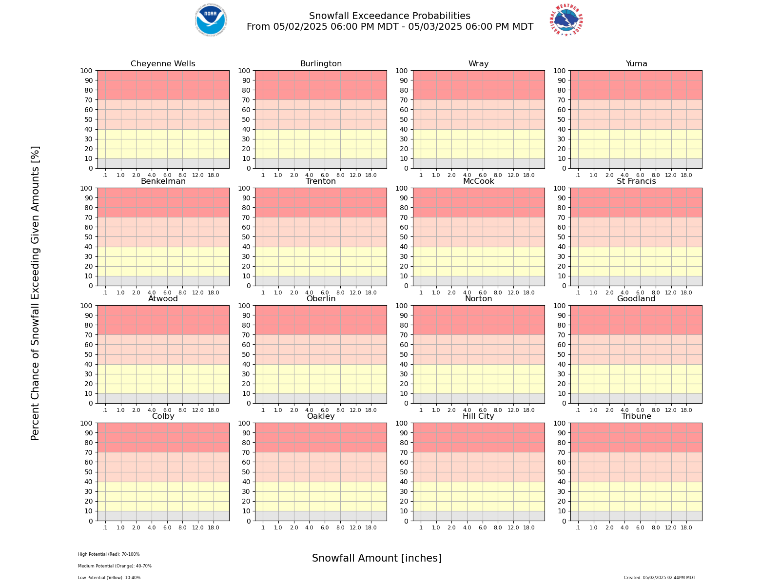
|

