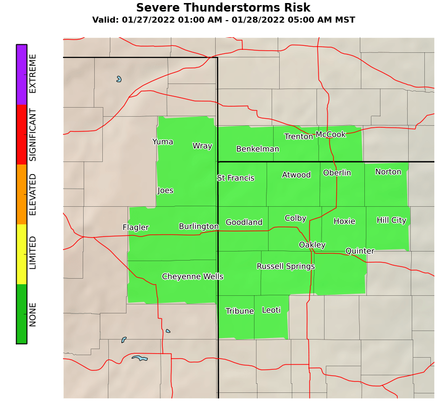
Record setting heat is expected over the next several days from the Intermountain West through the northern Plains. Furthermore, fire weather concerns increase with dry and breezy conditions. Meanwhile, heavy rainfall and severe thunderstorm threats for the Ohio/Tennessee Valleys, central Appalachians and Southeast today. The threat shifts to central Gulf Coast and across central Texas this week. Read More >
Goodland, KS
Weather Forecast Office
|
|
Agriculture and Climate Webpage |
|
| Local Climate Information | High Plains Climate Data | CoCoRaHS Precip Obs | Additional Information
Climate Briefing: Climate Websites: Other Current Observations: NWS Agencies:
|
 |
.PNG) |
.PNG) |
|
| Snow Cover | Observed Precipitation | River Levels | |
.PNG) |
.PNG) |
.PNG) |
|
| Kansas Observation Network | Nebraska Observation Network | Colorado Observation Network | |
.PNG) |
.PNG) |
.PNG) |
|
| USDA Statistics Service | USDA Agency Reports | Soil Moisture | |
.PNG) |
.PNG) |
.PNG) |
|
| Local Forecast Homepage | Area Forecast Discussion | Hazardous Weather Outlook | |
 |
.PNG) |
 |
|
| 6 to 10 Day Temp Outlook | 8 to 14 Day Temp Outlook | Week 3 to 4 Temp Outlook | |
 |
 |
 |
|
| 6 to 10 Day Precip Outlook | 8 to 14 Day Precip Outlook | Week 3 to 4 Precip Outlook | |
 |
 |
 |
|
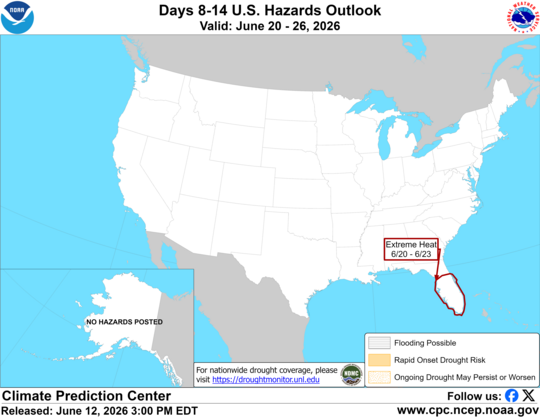
| 8 to 14 Day Hazards | 5 Day Precip Forecast | 7 Day Precip Forecast | |
 |
 |
 |
|
| Drought Monitor | Monthly Drought Outlook | Seasonal Drought Outlook | |
 |
 |
 |
Current Hazards
Storm and Precipitation Reports
Experimental Graphical Hazardous Weather Outlook
Submit a Storm Report
Outlooks
Current Conditions
Local Storm Reports
Observed Precipitation
Local Snowfall Reports
Observations
Snowfall Analysis
Satellite
Forecasts
Hourly Forecasts
Fire Weather
Forecast Discussion
User Defined Area Forecasts
Activity Planner
Local Information
Aviation Weather
Blog
Coop Observer
Decision Support Serivces Page
Local Observations
Local RSS Feeds
Our Office
Precip Analysis
Republican River Flood of 1935
Snowfall Analysis
Social Dashboard
Text Weather Index
Today in Weather History
Weather Radio
Weather Safety Images
Winter Storm Severity Index
Local WRN Ambassadors
US Dept of Commerce
National Oceanic and Atmospheric Administration
National Weather Service
Goodland, KS
920 Armory Road
Goodland, KS 67735-9273
785-899-7119
Comments? Questions? Please Contact Us.