
Isolated severe thunderstorms with locally damaging wind gusts and hail are possible Monday across parts of the Southeast U.S. Elevated to critical fire weather including gusty winds and low relative humidity is forecast Monday over much of the northern Great Plains. Above normal temperatures in the Southeast and Southwest U.S. will bring moderate to isolated major HeatRisk Monday. Read More >
| No active Tornado Warnings |
None
| No active SevereThunderstorm Warnings |
| No active Flash Flood Warnings |
None
None
None
None
None
None
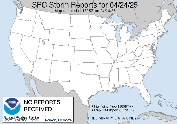
| SnowAccum reports weather.gov/crh/lsrsnow?sid=tsa |
| NOAA/NOHRSC Snow Information |
| Estimated Snow Accumulation Image |
 |
|
 |
 |
 |
 |
 |
 |
| Decision Support | Winter | Hazards | Observations | Climate | Hydrology |
 |
 |
 |
 |
 |
 |
| Social Media | Satellite | Fire Weather | Weather Radio | Spotter Training | Text Products |
 |
|||||
| Models | |||||