 |
Monthly Climate Summary - April 2014National Weather Service, Springfield, MO |
 |
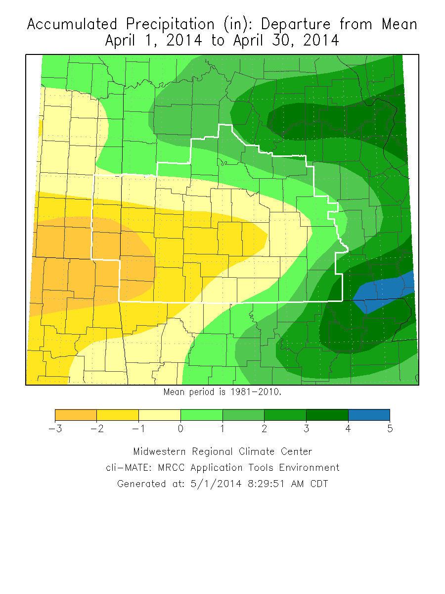
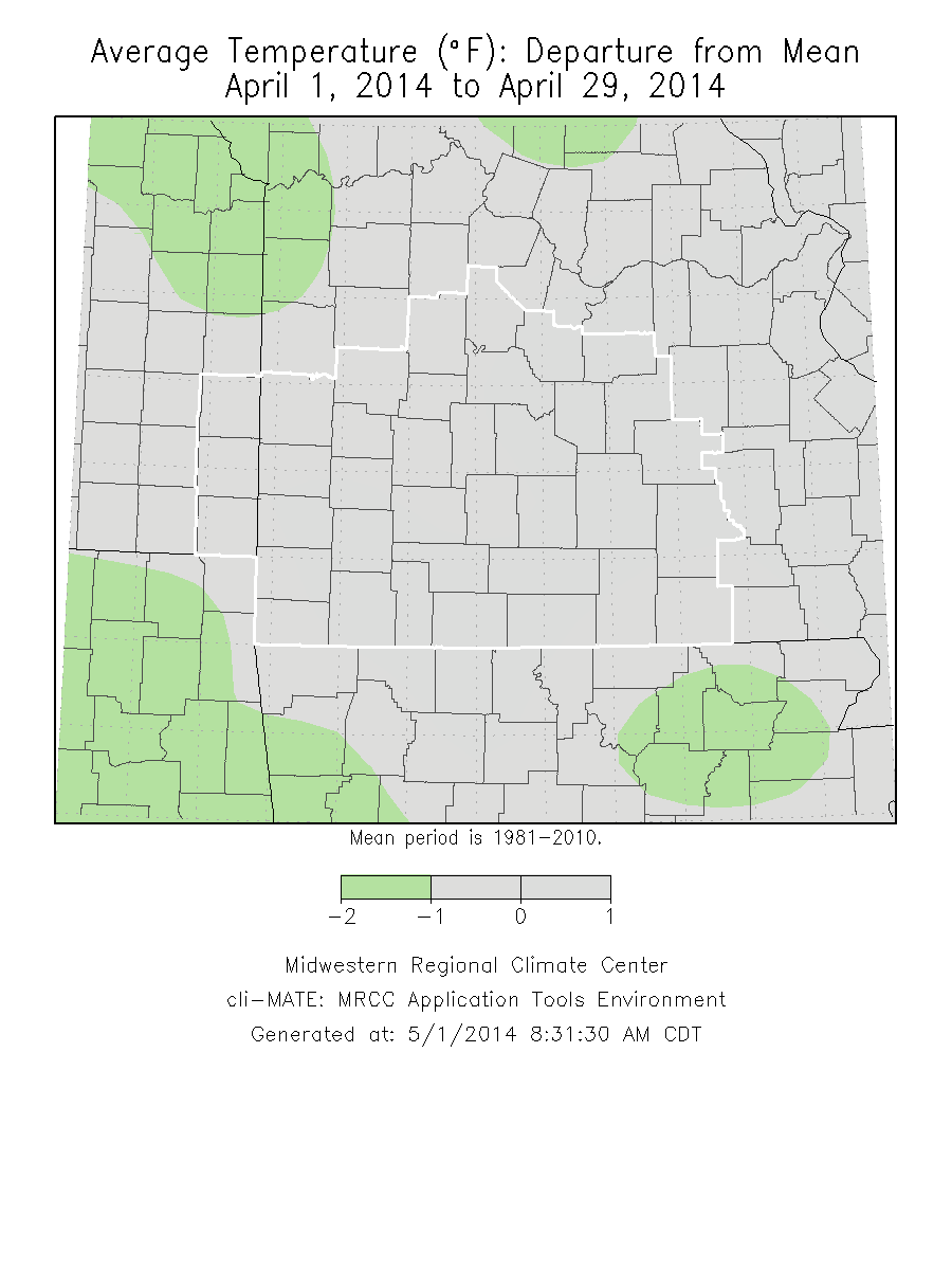
Monthly Climate OverviewApril 2014 was a month with near normal temperatures across the Missouri Ozarks and extreme southeast Kansas. Higher precipitation amounts were over the eastern Ozarks and into central Missouri with fairly dry conditions across much of the southwest part of Missouri into extreme southeast Kansas. Severe Thunderstorms across the area on April 3rd, 2014 Severe Storms on April 13th, 2014 A few strong to severe storms on April 24th, 2014Strong storm system brings Tornadoes and Severe Storms to the region April 27th, 2014
|
Monthly Climate Maps
|
Monthly Climate Records
| ||||||||||||||||
Monthly Climate Normals
| |||||||||||||||||||||||||||||||||||||||||||||||||||||||||||||||||||||||||||||||||||||||||||||||||||||||||
Precipitation Report
|


 Weather Story
 Weather Map
 Local Radar