
Heat expands across the Desert Southwest, Plains, Mississippi Valley and Midwest into Monday. Fire weather concerns continue for portions of the Intermountain West. Active monsoonal moisture fuels thunderstorms over the Southwest with possible flash flooding. Tropical cyclone Fausto in the Pacific, should weaken as it approaches Hawaii; Dangerous surf, swells and rip currents are expected. Read More >
|
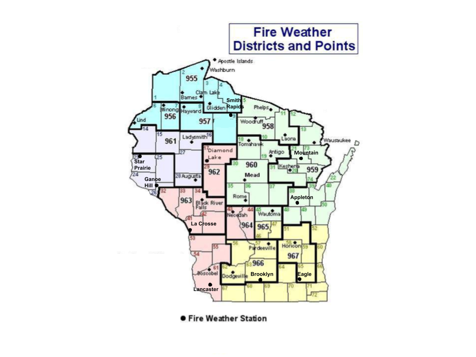
2025 Wisconsin Fire Weather Annual Operating Plan Local Spot Forecasts
Fire Weather Planning Forecast
Spot Fire Weather Forecasts
Point Forecasts
Fire Weather Watches/Red Flag Warnings
NWS National Fire Weather Page Observations
Wisconsin DNR Burning Restrictions and Fire Activity Maps
Satellite Fire Detection
GOES-16 Imagery Use Channel 7: IR "Shortwave Window" (3.9 micron)
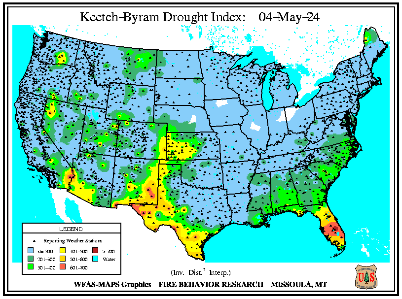
Fuel and Soil Moisture Maps
10 Hour Fuel Moisture Map, Weighed Or Computed For 1/4 To 1 Inch Diameter Fuels. Related Links
Many of the links on the page are courtesy of the U.S. Forest Service. Other Fire Weather-related links include: Eastern Area Coordination Center
Fire Weather Program : Some Background
|

