
Heat expands across the Desert Southwest, Plains, Mississippi Valley and Midwest into Monday. Fire weather concerns continue for portions of the Intermountain West. Active monsoonal moisture fuels thunderstorms over the Southwest with possible flash flooding. Tropical cyclone Fausto in the Pacific, should weaken as it approaches Hawaii; Dangerous surf, swells and rip currents are expected. Read More >
National Weather Service Daily Briefing Page
Wisconsin Fire Weather Decision Support Services Page
Current and Past Weather
Wisconsin Precipitation Summary: Last 7 Days
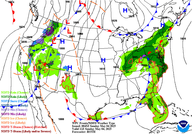
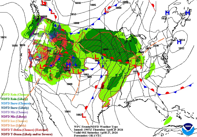
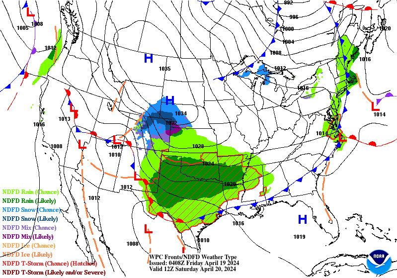
Latest Map Analysis (Fronts and Pressure)
|
|
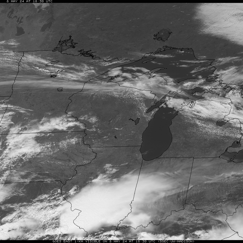 Wisconsin |

Western U.S. Visible |
|
KMKX / KLOT / KGRB / KARX / KDVN / KMPX
|
|
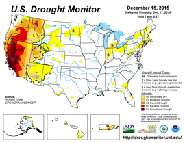 Weekly Drought Assessment |
 Seasonal Drought Outlook |
Overview of general weather pattern through next week
National Weather Service Fire Weather Graphical Forecasts
NWS National Fire Weather Page
Retrieve forecasts from across the country: click map below

 Today's Forecast |
 24 Hour Fcst |
 36 Hour Fcst |
 48 Hour Fcst |
 3-7 Day Fcst |
 24 Hour QPF |
 Day 2 QPF |
 Day 3 QPF |
Weather Prediction Center: Precipitation Forecast Page
7-Day Loop Of Surface Pressure/Fronts
SPC Short Range Ensemble Forecast
 Day 1 Severe Outlook |
 Day 2 Severe Outlook |
 Day 3 Severe Outlook |
 Days 4-8 Severe Outlook |
 Day 1 Fire Outlook |
 Day 2 Fire Outlook |
|
National Significant Wildland Fire Potential Outlook
Extended Outlooks
| Temperature | Precipitation | |
| 6-10 Day |  |
 |
| 8-14 Day |  |
 |
| 30 Day |  |
 |
| 90 Day |  |
 |


