Today's Weather Impact Levels
(click on specific hazard for details)
|
|
|
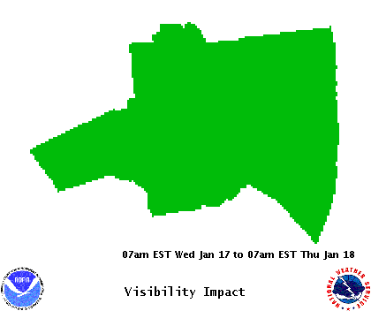
| Reduced Visibility Hazard |
 |
 About Dense Fog and Smoke About Dense Fog and Smoke |
| Legend |
| None |
No visibilities below 1/4 mile. |
| Slight |
Patchy (1-20% coverage) visibilities below 1/4 mile possible. |
| Moderate |
Areas (30-50% coverage) of visibility below 1/4 mile possible. |
| High |
Widespread (60-100% coverage) visibilities below 1/4 mile possible. |
|
|
 |
|
| Visibility Impact Statement |
|
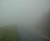
Visibility: Patchy fog should develop late tonight into early Tuesday
morning over South Florida especially over the interior and west
coast metro areas. Visibility could drop below a quarter mile at
times in the fog.
|
For additional hazard information, view the full Hazardous Weather Outlook text. During a tropical cyclone situation, view the Hurricane Local Statement for additional hazard details.


