Scattered severe thunderstorms capable of damaging wind gusts and some hail are expected this afternoon and evening from the Upper Ohio River Valley into the Northeast, and from the Appalachians into the Mid-Atlantic States. Excessive rainfall from heavy thunderstorms may produce areas of flash flooding from southern New Mexico into the western and northern Gulf Coast into Wednesday. Read More >
| Today's Weather Impact Levels
(click on specific hazard for details) |
|||||||||||||||||||||||||||||||||||||||||||||||||||||||||||||||||||||||||||||||||
|
|||||||||||||||||||||||||||||||||||||||||||||||||||||||||||||||||||||||||||||||||
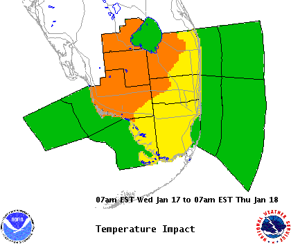
| Extreme Temperature Hazard | |||||||||||||||
|
|||||||||||||||
| Temperature Impact Statement |
For additional hazard information, view the full Hazardous Weather Outlook text. During a tropical cyclone situation, view the Hurricane Local Statement for additional hazard details.


 About
About