Jackson, Mississippi
Weather Forecast Office

Survey Information
| Location | Start/ End Time |
Event Type/ Max Winds |
Fatalities/ Injuries |
Path Length | Path Width |
| Bolivar County 6 ESE Scott to 6 E Scott |
1/29 6:48pm - 6:49pm |
EF-0 Tornado 75 mph |
none |
1/2 mi |
50 yds |
| Washington/Bolivar/Sunflower Counties 1 ESE Leland to 3 SE Shaw |
1/29 7:25pm - 7:45pm |
Straight Line Winds 90 mph |
none |
N/A |
N/A |
| West Carroll Parish 4 S Goodwill to 3 ENE Goodwill |
1/29 9:36pm - 9:41pm |
EF-2 Tornado 120 mph |
none |
6 mi |
100 yds |
| Bolivar County 2.5 WSW Skene to 2.5 WNW Cleveland |
1/29 11:10pm - 11:16pm |
EF-1 Tornado 100 mph |
none |
6 mi |
150 yds |
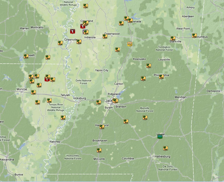
Local Storm Reports
Click on the map below for additional details.
US Dept of Commerce
National Oceanic and Atmospheric Administration
National Weather Service
Jackson, Mississippi
234 Weather Service Dr.
Flowood, MS 39232
601-936-2189
Comments? Questions? Please Contact Us.


