Jackson, Mississippi
Weather Forecast Office

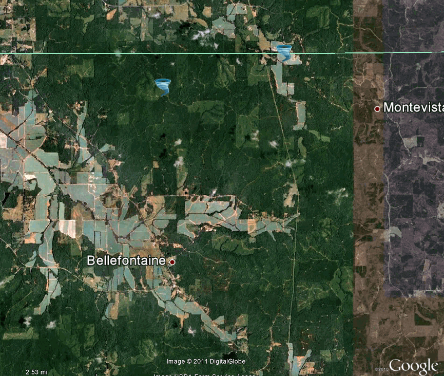
Webster/Calhoun/Chickasaw/Monroe Counties Tornado
Click on Map Below to Zoom In/Out and View Damage Notation

|
Event Summary End time is the time tornado crossed into Calhoun County. Fatality and injury count, rating are from the entire tornado path. This tornado snapped a few trees along the path in Webster County before entering the NWS Memphis area and continuing in Calhoun, Chickasaw, and Monroe counties.
|
|
US Dept of Commerce
National Oceanic and Atmospheric Administration
National Weather Service
Jackson, Mississippi
234 Weather Service Dr.
Flowood, MS 39232
601-936-2189
Comments? Questions? Please Contact Us.

