Jackson, Mississippi
Weather Forecast Office
Damage Survey from Smith County
 |
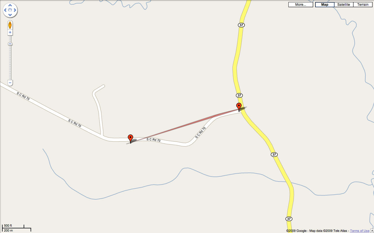
Location: Smith County
Time of Event: 2:58am, 03/28/09
Beginning Point: 9 miles SSE of Raleigh
Ending Point:
Rating: EF1, maximum winds 100 MPH
Path Length: 1 mile
Maximum Width: 200 yards
Fatalities: 0
Injuries: 0
Summary of Damages: Four homes received minor to moderate damage mainly to roofs. One home had a deck and back portion of the house ripped off. A couple of sheds were destroyed. Numerous hardwood and softwood trees snapped and uprooted. The tornado moved along County Road 94 until it lifted as that road intersected with Highway 37.
US Dept of Commerce
National Oceanic and Atmospheric Administration
National Weather Service
Jackson, Mississippi
234 Weather Service Dr.
Flowood, MS 39232
601-936-2189
Comments? Questions? Please Contact Us.

