Jackson, Mississippi
Weather Forecast Office
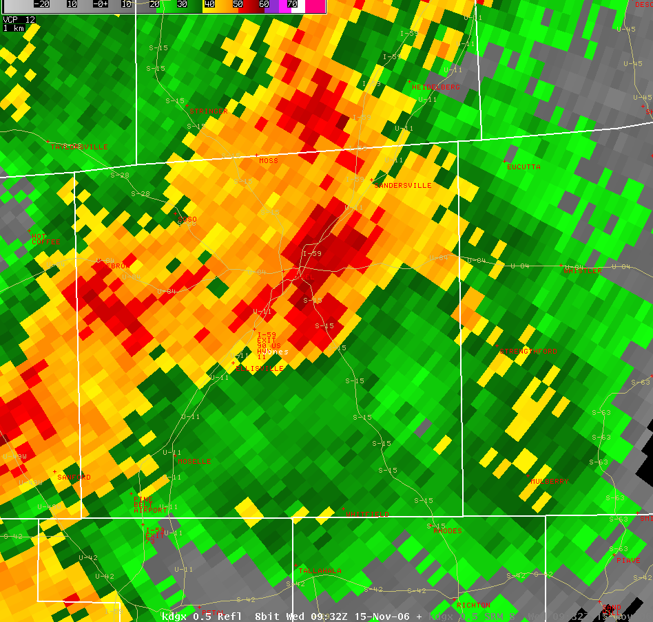
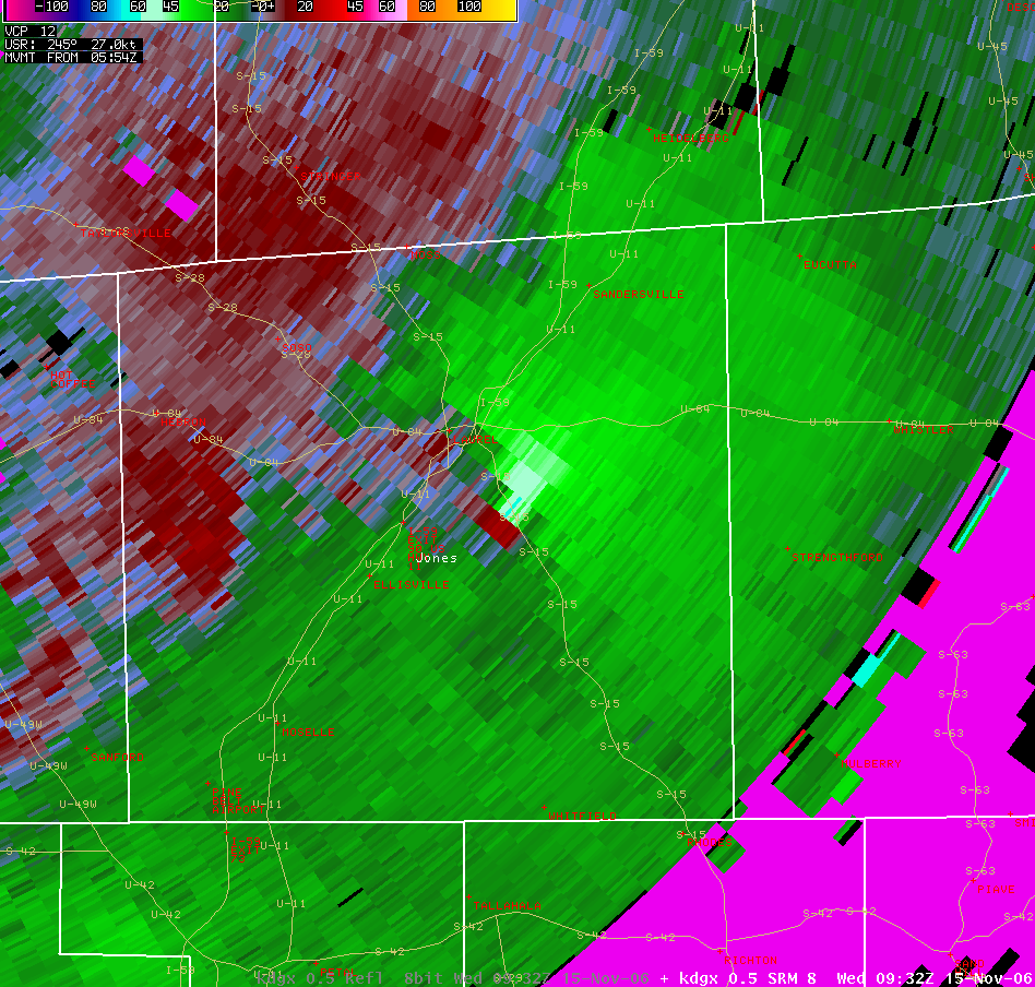
The following pictures are of the radar during the Jones County tornado near Tuckers Crossing.
Beginning Point: 2 S Glade (6 SSE Laurel) at 0331
Ending Point: 11 E Laurel at 0347 (path continued into Wayne County)
Path Length: 10.5 miles (in Jones County)
Maximum Width: 850 yd Maximum
F-scale Damage: F3
Casualties: 0 fatalities, only minor injuries
Summary of Damage: Around 25 homes suffered significant damage. The most intense damage was along a path from near the intersection of Highway 15 and Orange Drive northeast to the area along Township Road. Two metal high tension electric power truss towers were destroyed, hundreds of trees were snapped and uprooted, at least two mobile homes were destroyed, a travel trailer being used for post-Katrina housing was annihilated, and several houses suffered significant structural damage. Northeast of this area, the path continued all the way to the county line with Wayne County, but damage was generally less, F0 to occasionally F1, and limited to tree damage. The one exception was near the Mill Creek community, where a storage building was destroyed and a couple of homes suffered roof damage.
Click on the images for a larger view
 |
 |
US Dept of Commerce
National Oceanic and Atmospheric Administration
National Weather Service
Jackson, Mississippi
234 Weather Service Dr.
Flowood, MS 39232
601-936-2189
Comments? Questions? Please Contact Us.

