Tiyan, GU
Weather Forecast Office
| Website or Document (click to download) | Date Added |
| Guam Rain Summary (2020) | September 2, 2020 |
| Typhoons Passing within 75nm of Guam (1945-2019) | August 11, 2020 |
| Major Typhoons Passing within 75nm of Guam (1945-2019) | August 11, 2020 |
| Severe Tropical Storms gte 45kt passing within 75nm of Guam (1945-2019) | August 11, 2020 |
| Major Typhoon Tracks 1945-2019 (Graphical) | August 11, 2020 |
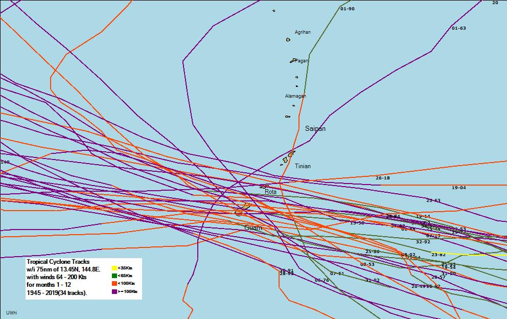
| Typhoon Tracks 1945-2019 (Graphical) | August 11, 2020 |
| NTHMP Tsunami Information Guide | April 18, 2019 |
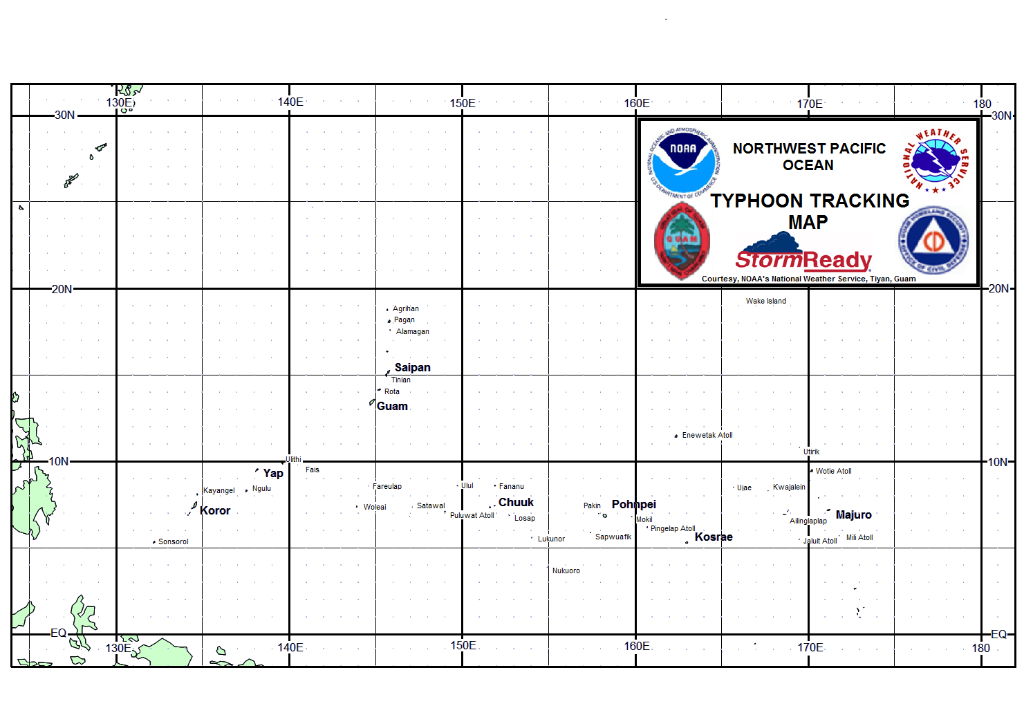
| Typhoon Tracking Chart (landscape - printer friendly) | May 27, 2017 |
| Historical Tropical Cyclones Affecting Guam (1671-1990) | June 17, 2015 |
US Dept of Commerce
National Oceanic and Atmospheric Administration
National Weather Service
Tiyan, GU
3232 Hueneme Rd
Barrigada, GU 96913
(671) 472-0900
Comments? Questions? Please Contact Us.


 Public Forecast
 Marine Forecast
 Radar
Radar Satellite
 Area Forecast Discussion
.png) Active Tropical Cyclones
Active Tropical Cyclones Palau Sector
 Yap Sector
 Marianas Sector
 Chuuk Sector
 Pohnpei/Kosrae Sector
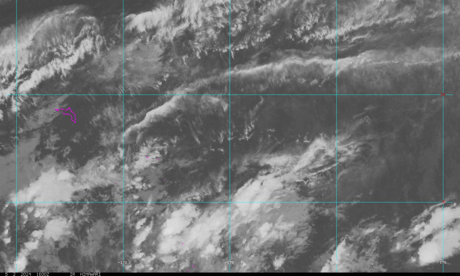 Marshall Islands Sector
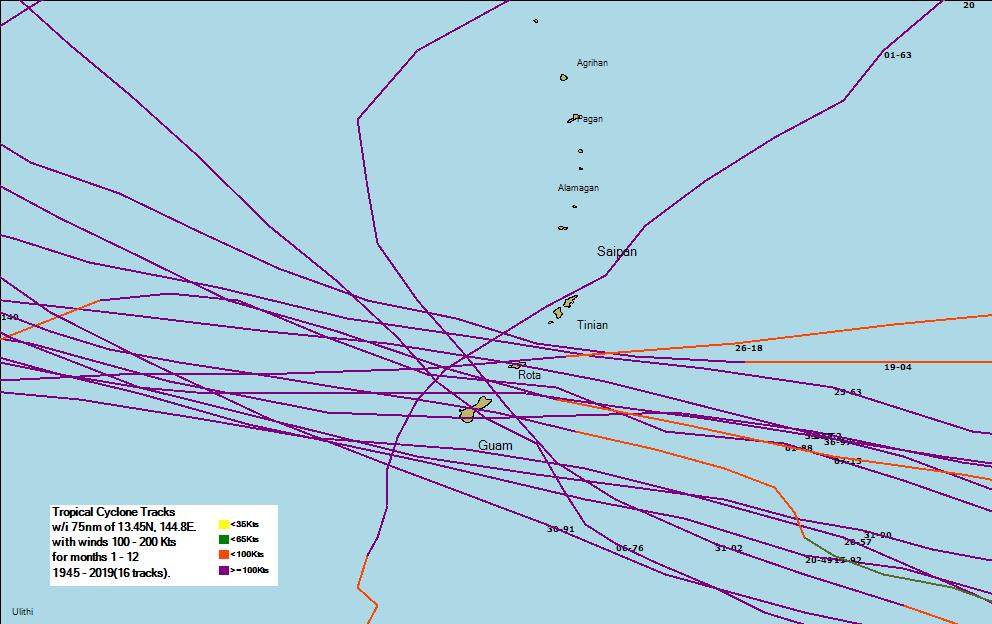