|
Forecast at a Glance |
|||
|---|---|---|---|
| Guam | Rota | Tinian | Saipan |
click on a button to see active watches/warnings/advisories for each island:
Text Products issued Daily
Mariana Island Forecast (Guam, Rota, Tinian, Saipan) 7-day Guam/Saipan Forecast Table (Max/Min Temp and Chance of Rain) Point Forecast Matrices (Guam, Rota, Tinian, Saipan) Surf Forecast (Guam, Rota, Tinian and Saipan) -(Surf Forecast Criteria) Coastal Waters Forecast (Guam, Rota, Tinian and Saipan) (Now available for expected wind, cloud cover, weather, temperatures and wave height) Eastern Micronesian Hybrid Coastal Forecast (Pohnpei, Kosrae and Majuro) Eastern Micronesian Island Point Forecast Matrices (Pohnpei, Kosrae and Majuro) 7-Day Eastern Micronesian Forecast Table (Max/Min Temp and Chance of Rain) (Now available for expected wind, cloud cover, weather, temperatures and wave height) Western Micronesian Hybrid Coastal Forecast (Palau, Yap and Chuuk) Western Micronesian Island Point Forecast Matrices (Palau, Yap, and Chuuk) 7-Day Western Micronesian Forecast Table (Max/Min Temp and Chance of Rain) (Now available for expected wind, cloud cover, weather, temperatures and wave height)
Marianas
E Micronesia
W Micronesia
Regional Discussion
*** Marine Weather Warning for Palau, Yap, or Chuuk *** 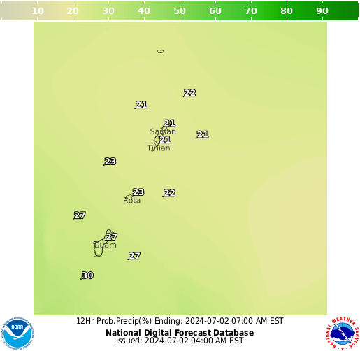 Graphical Forecasts (Experimental Digital Data)
*** Marine Weather Warning for Palau, Yap, or Chuuk *** Graphical Forecasts (Experimental Digital Data)
Text Products issued as needed
Record Event Report (Guam only)
Related Links


 Public Forecast
 Marine Forecast
 Radar
Radar Satellite
 Area Forecast Discussion
.png) Active Tropical Cyclones
Active Tropical Cyclones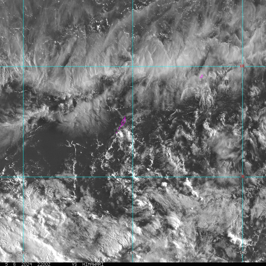 Palau Sector
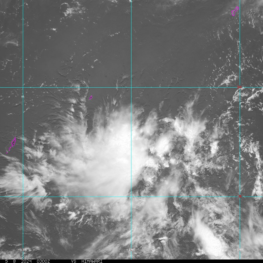 Yap Sector
 Marianas Sector
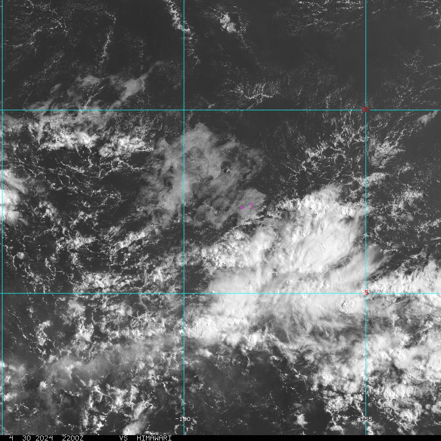 Chuuk Sector
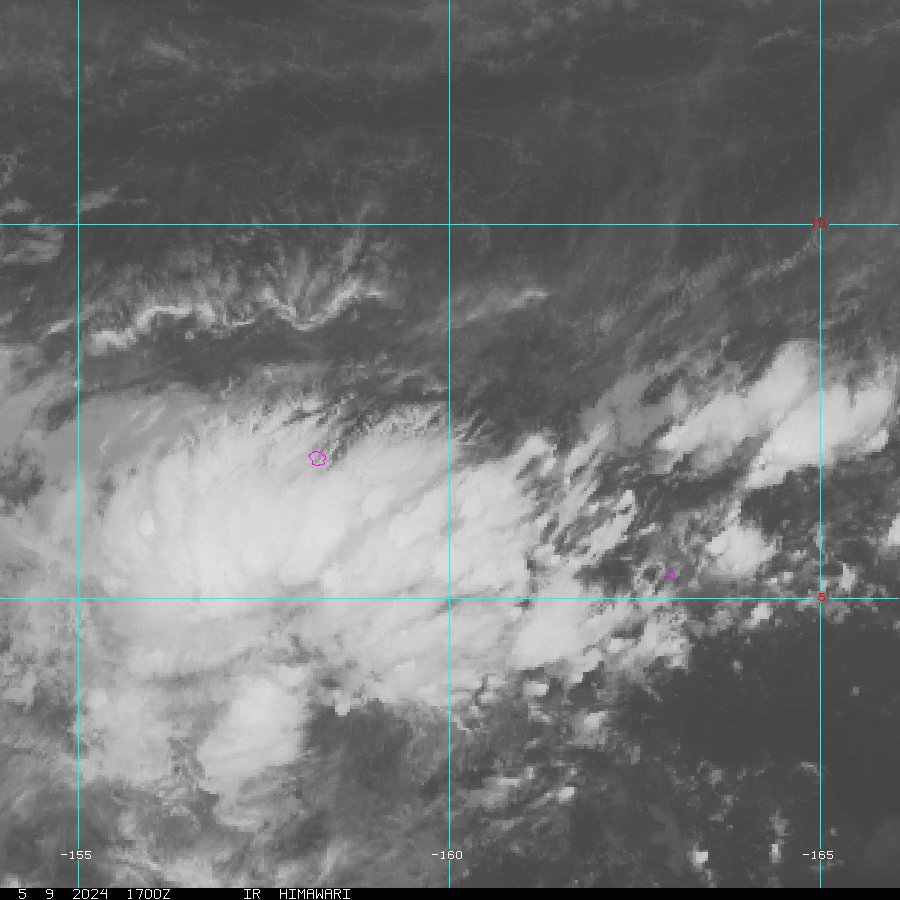 Pohnpei/Kosrae Sector
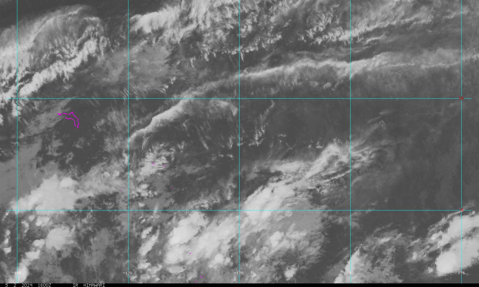 Marshall Islands Sector