Record setting heat is expected over the next several days from the Intermountain West through the northern Plains. Furthermore, fire weather concerns increase with dry and breezy conditions. Meanwhile, heavy rainfall and severe thunderstorm threats for the Ohio/Tennessee Valleys, central Appalachians and Southeast today. The threat shifts to central Gulf Coast and across central Texas this week. Read More >
Regional Web Cameras
National Weather Service Boise Rooftop
Temporarily offline
Caldwell Industrial Airport
|
|
|
|
| Looking NW (Courtesy of the City of Caldwell) | Looking E (Courtesy of the City of Caldwell) |
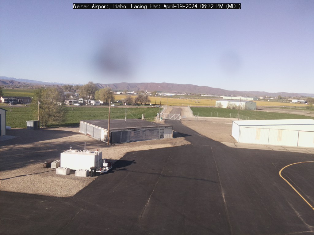
Weiser Airport
|
|
|
|
| Looking E (Courtesy of the City of Weiser) | Looking SW (Courtesy of the City of Weiser) |
|
|
|
Looking East |
|
|
|
Looking Northwest (Courtesy of the City of McCall) |
|
|
|
|
| Looking North (Courtesy of Eye-n-Sky LLC) | Looking South (Courtesy of Eye-n-Sky LLC) |
|
|
|
|
| Looking Southwest (Courtesy of Reeders) | Looking Southeast |
Baker City Airport
|
|
Burns Airport
|
Temporarily offline |