Boise, ID
Weather Forecast Office
|
Observations
|
|
|
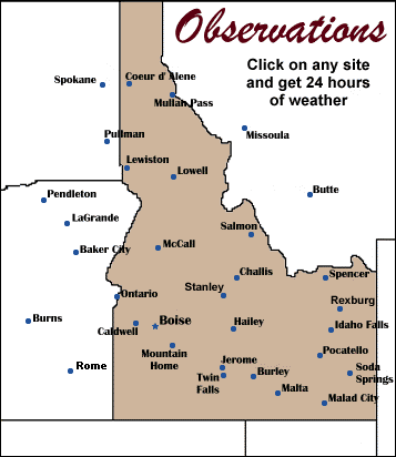
Click here for a detailed map of Observations Observations may not be taken every hour for all locations. Some stations do not report all weather elements. Missing elements will be reported with a N/A (not available). |

US Dept of Commerce
National Oceanic and Atmospheric Administration
National Weather Service
Boise, ID
National Interagency Fire Center
3833 S. Development Ave., Bldg 3807
Boise, ID 83705-5354
(208) 334-9860
Comments? Questions? Please Contact Us.


 Follow us on X
 Follow us on Facebook
 Follow us on YouTube
 BOI RSS Feed