
Severe thunderstorms possible later today into tonight. Read More >
Gaylord, MI
Weather Forecast Office
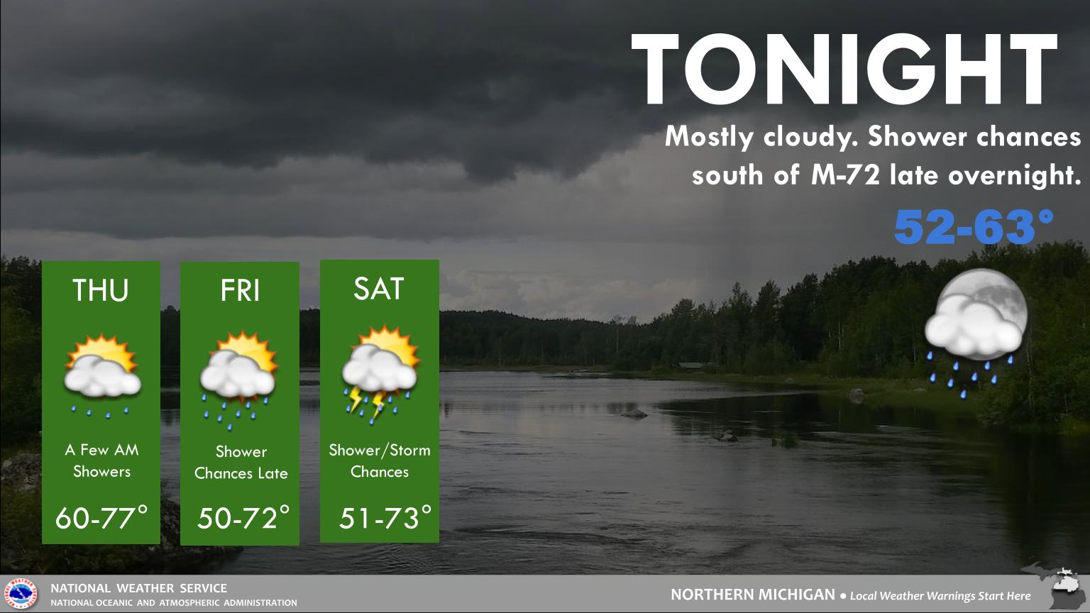
Scattered storms are expected later today into tonight. Some of these could be strong to severe, with damaging winds and localized flooding as the primary hazards, though some large hail and a tornado or two may be possible with the strongest storms.
Otherwise for today...strong southwesterly winds will lead to high swim risks for many Lake Michigan beaches, and a few Lake Huron beaches, so staying out of the water is advisable. Some of the smoke will rotate back in today, bringing air quality concerns back, though not as intense as last week.
A cold front sweeps through early Tuesday, bringing us a shot of much cooler air going into midweek.
Local Information
Area Information
Office Webcam
Forecast
Recreational
Great Lakes/Marine
NWS DSS Table
Beach/Surf
Text Products
US Dept of Commerce
National Oceanic and Atmospheric Administration
National Weather Service
Gaylord, MI
8800 Passenheim Road
Gaylord, MI 49735-9454
989-731-3384
Comments? Questions? Please Contact Us.

