
Severe thunderstorms possible later today into tonight. Read More >
Overview
|
Low pressure trekking across the southern Great Lakes on New Year's Eve interacted with an impressive amount of Gulf moisture to produce a swath of heavy snow across much of northern Michigan. The storm posed a high impact to holiday travel and festivities across northern Michigan, including prompting the cancellation of Traverse City's Cherry Ball Drop. Isolated power outages were also reported due to the combination of some gusty winds and the heavy, wet snow. Precipitation began as a wintry mix late Monday morning into the early afternoon as it lifted into northern Lower Michigan, producing a glaze of ice on some roadways south of M-72. As it encountered colder air farther north, the precipitation quickly transitioned to a steady moderate snowfall that continued into the evening with periods of heavy snow at times. Snowfall rates exceeded 1 inch per hour in some areas during the evening before rapidly tapering off from west to east by midnight. The heaviest snowfall occurred across northern Lower Michigan, generally north of M-72 and south of M-68. Road crews were still busy cleaning up the mess on New Year's Day. |
 Radar loop of the December 31, 2018 winter storm |
Snowfall Map
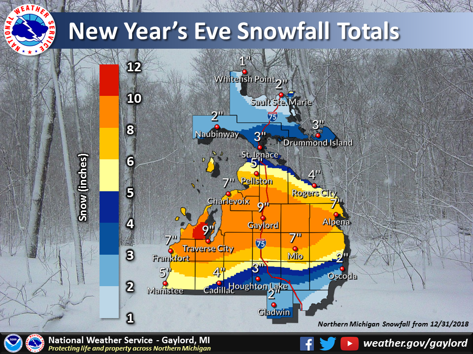 Storm total snowfall December 31, 2018 |
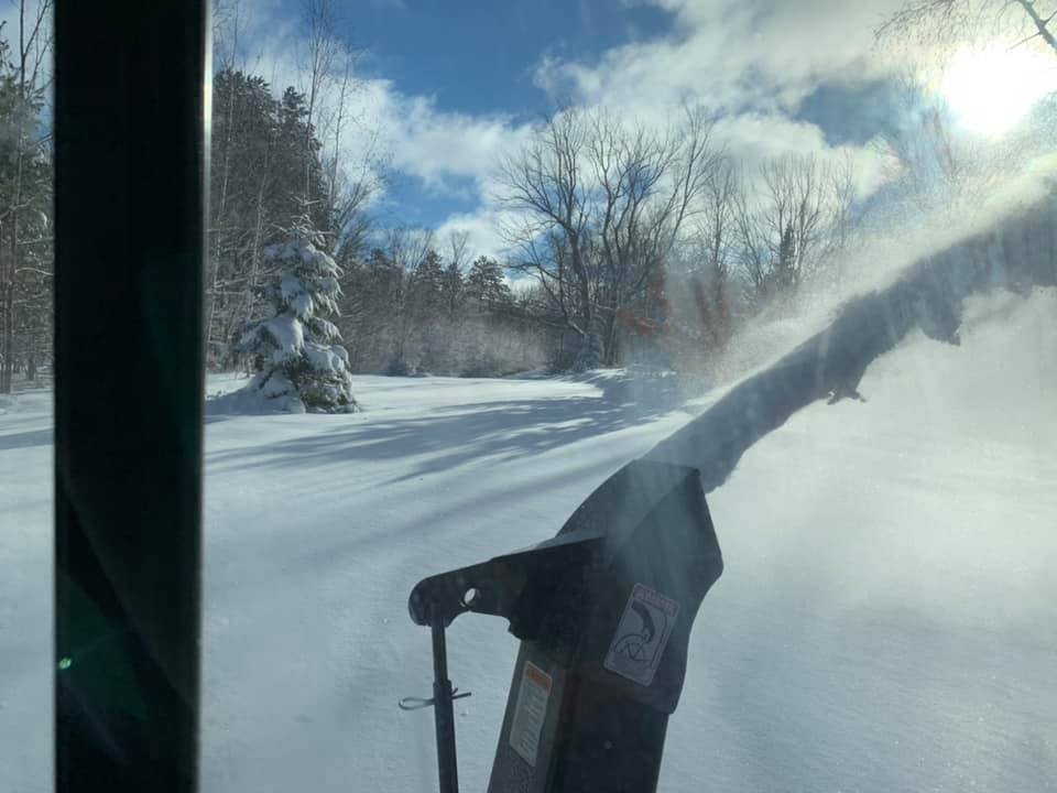
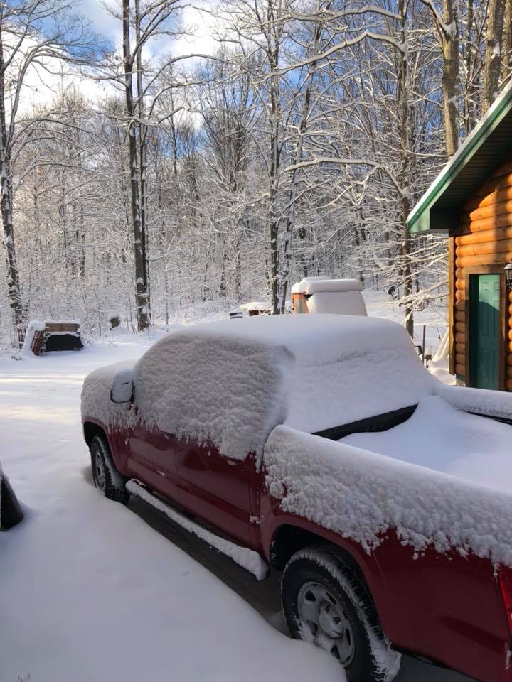
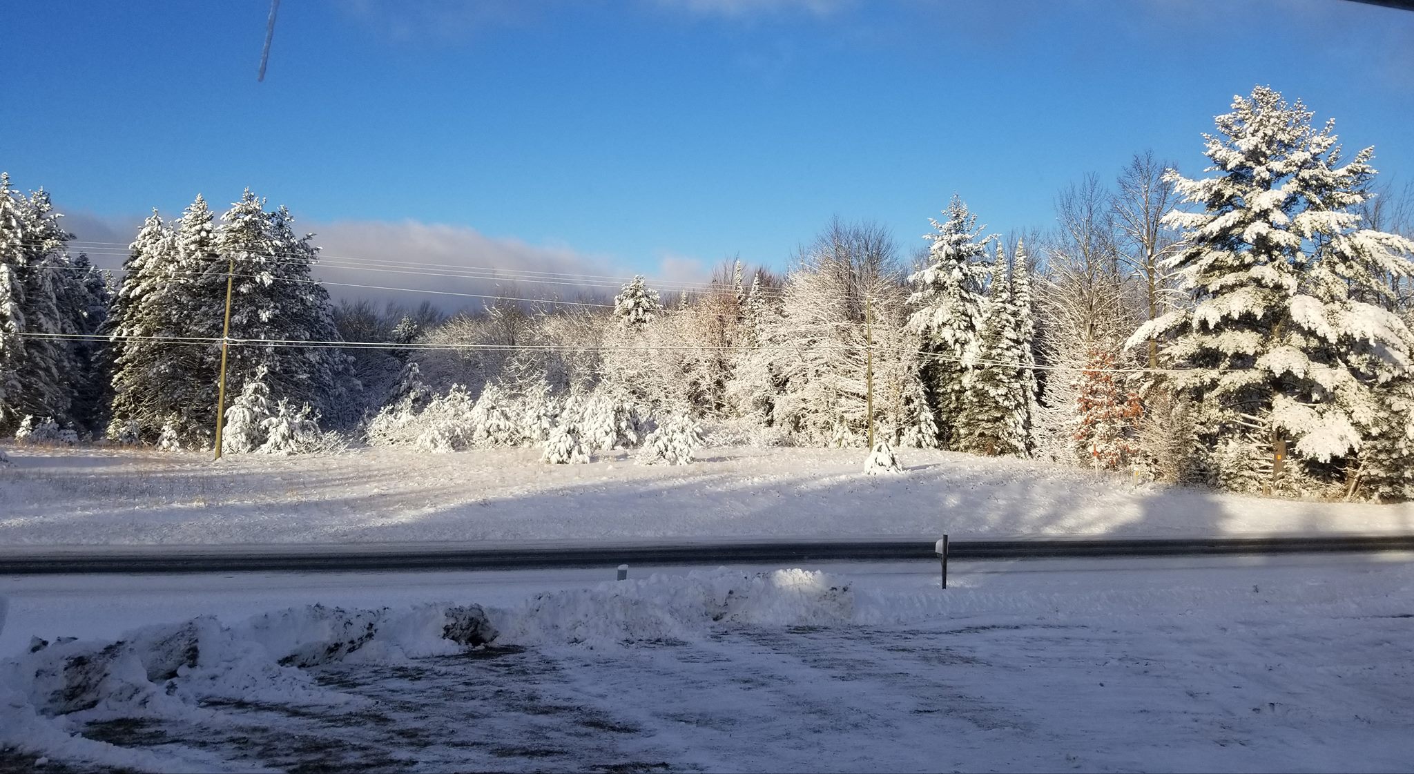
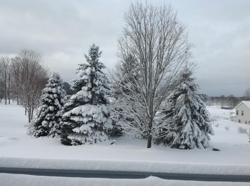
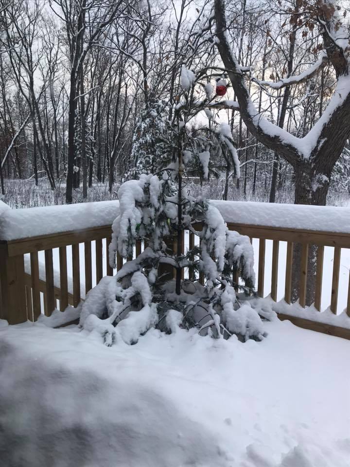
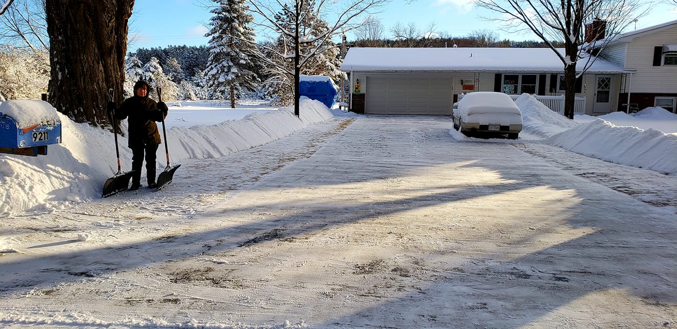
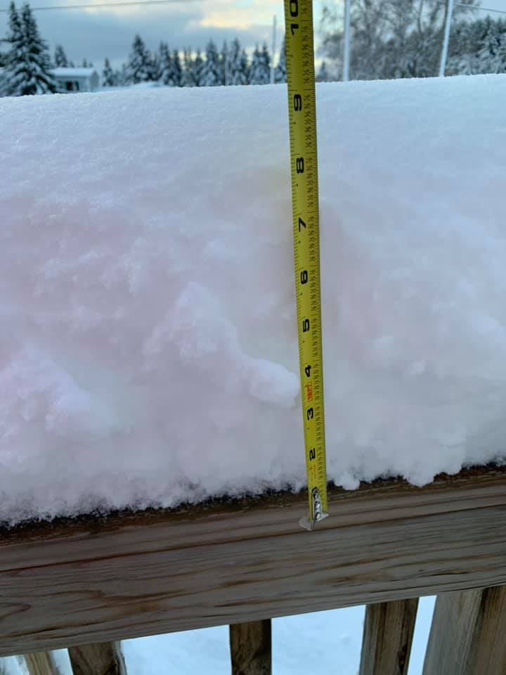
Photos & Video:
From NWS Gaylord and MDOT
 |
 |
 |
 |
| Before and After NWS Gaylord |
Before and After Walloon Lake - courtesy MDOT |
Before and After I-75@Levering Rd - courtesy MDOT |
During and After Interlochen - courtesy MDOT |
 |
 |
 |
 |
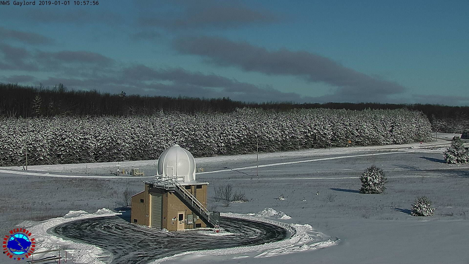
| New Year's Day NWS Gaylord |
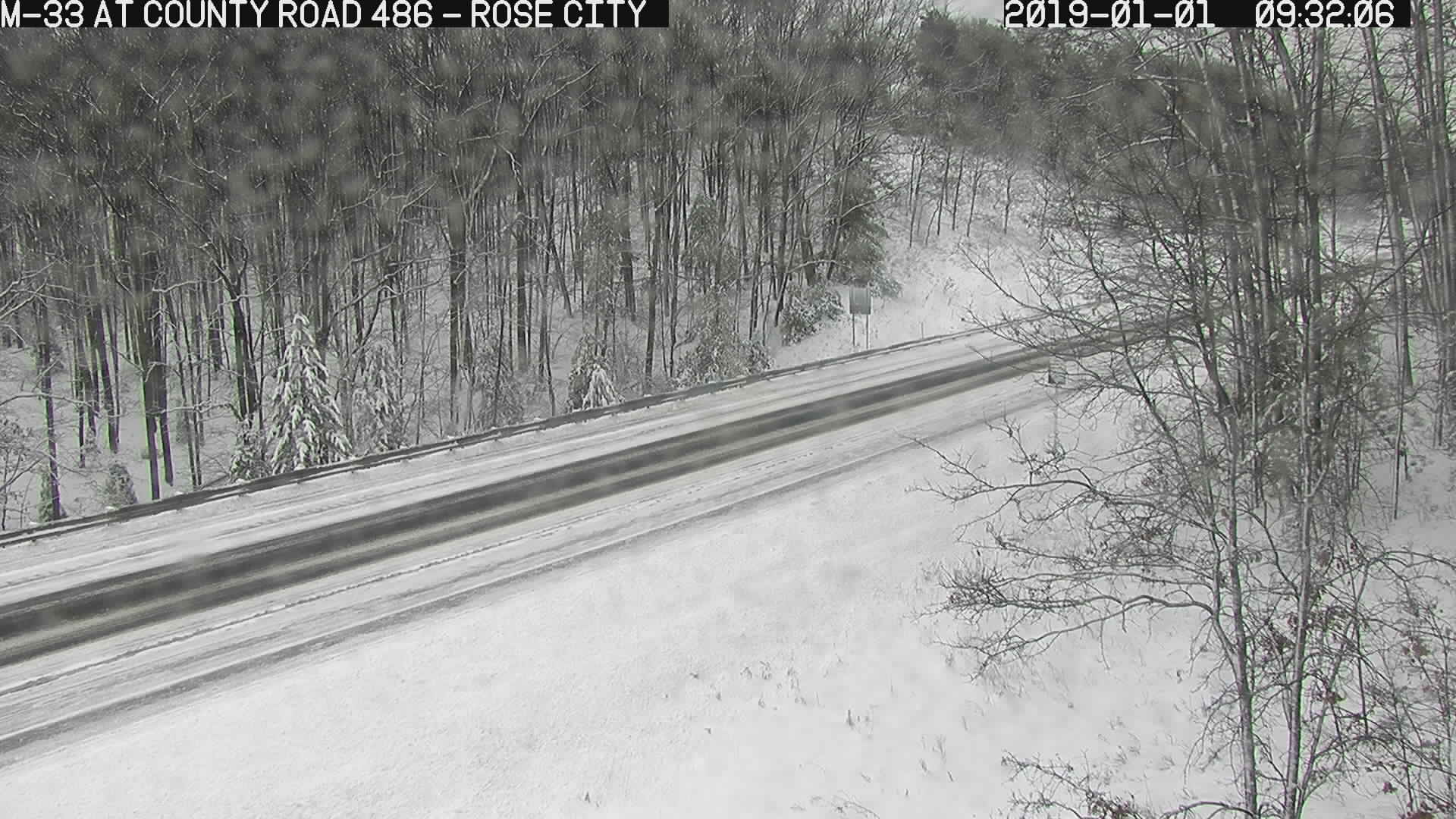
Rose City, MI Courtesy MDOT |
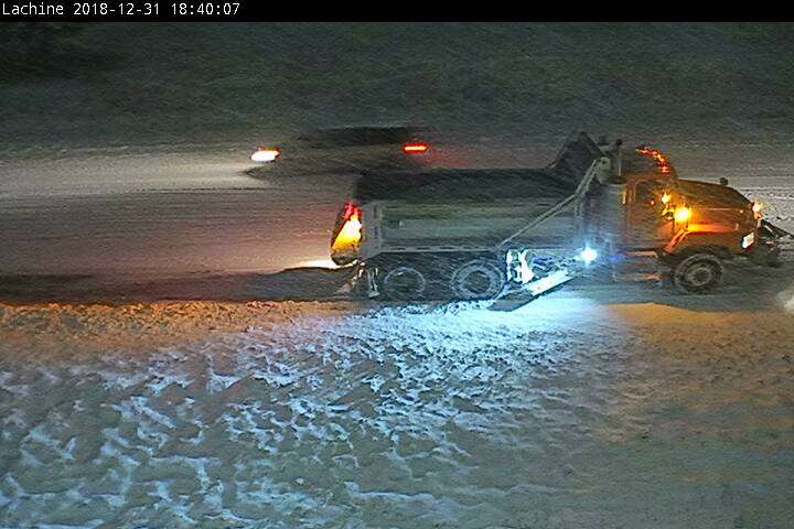
Lachine, MI Courtesy MDOT |
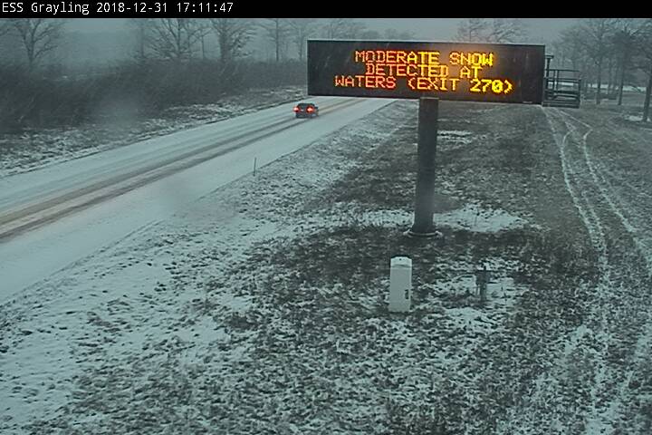
Grayling, MI Courtesy MDOT |
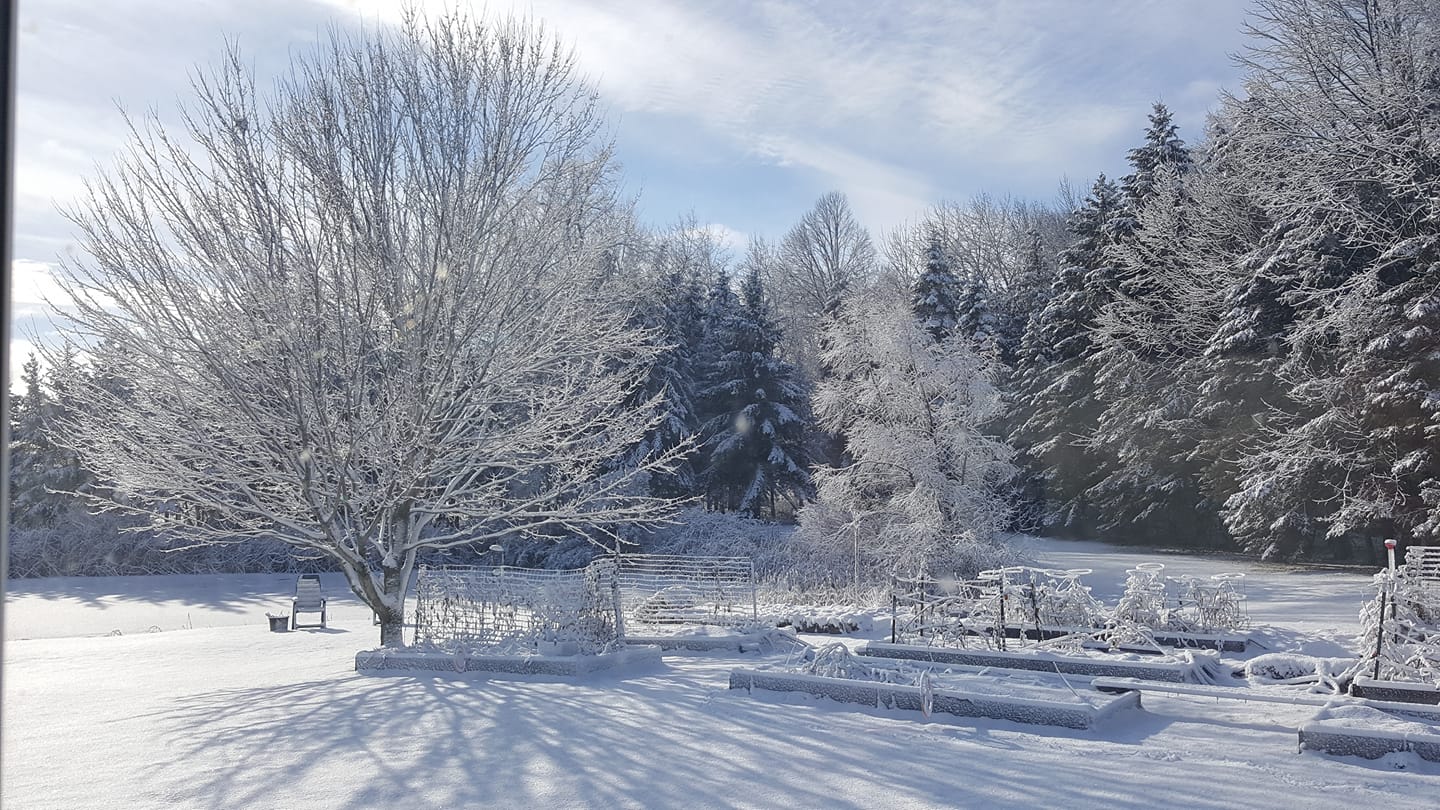
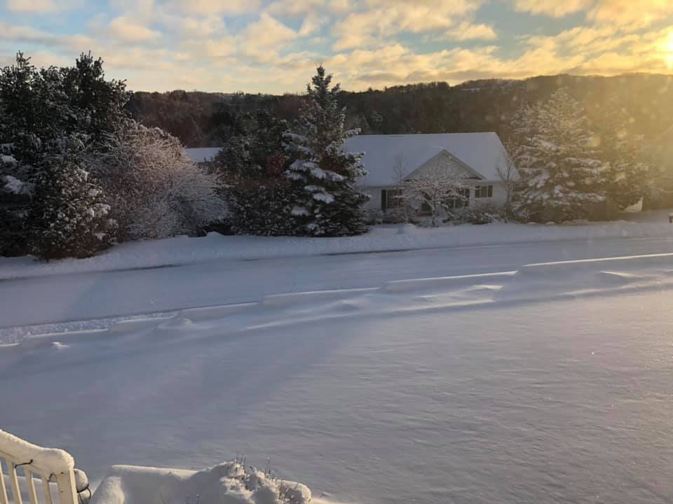
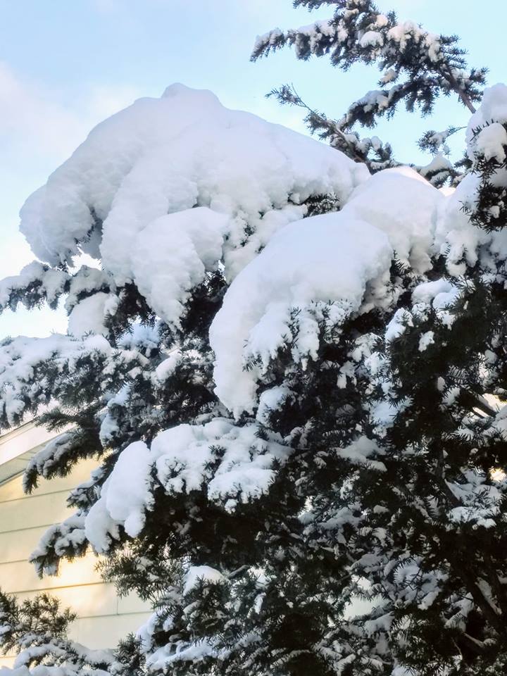
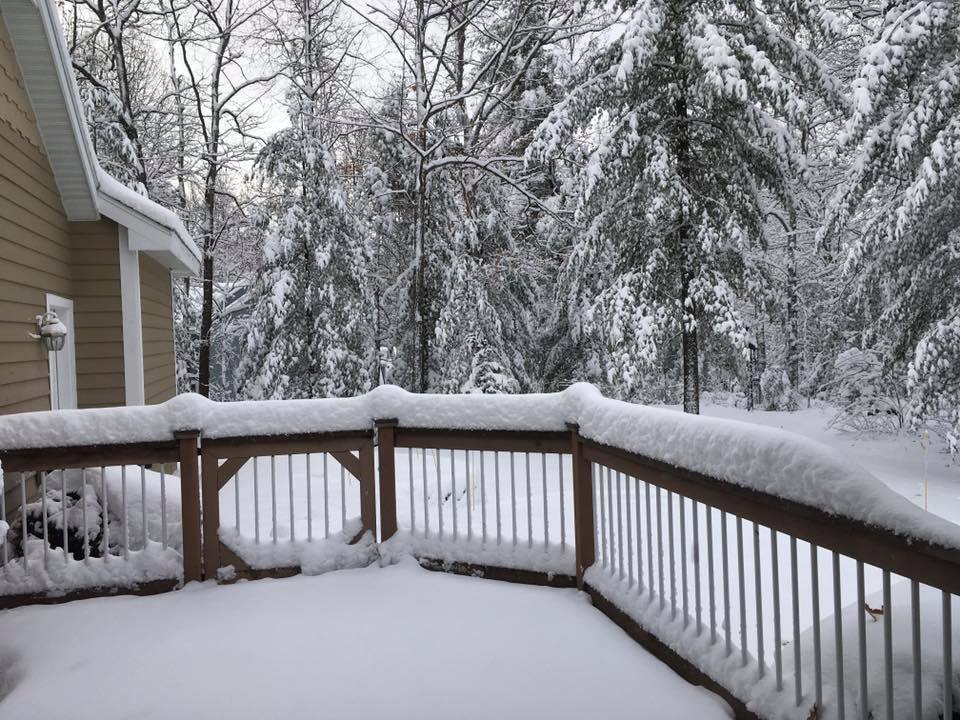
Submitted Via Social Media
 |
 |
 |
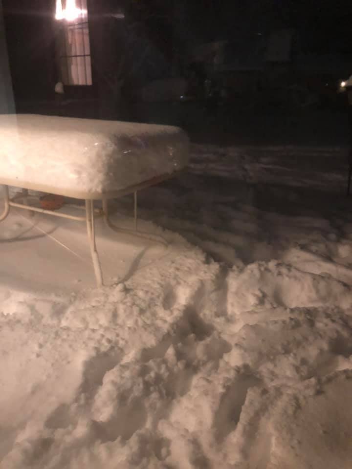 |
| West Branch, MI Gerry Garden Laura |
Petoskey, MI Heather Chism |
Johannesburg, MI Bob Oltersdorf |
Lewiston, MI Laura Renaldi Korff |
 |
 |
 |
 |
| Harbor Springs, MI Kim Taylor Martin |
Traverse City, MI Kristen White Moore |
Kalkaska, MI Joyce Greenisen Estelle |
Kalkaska, MI Jennifer King |
 |
 |
 |
 |
| Lake Ann, MI John Kumjian |
Lewiston, MI Mimi Mikolajczak |
Mancelona, MI Jim Bailey |
Traverse City, MI Radene Kumaus |
Snowfall Reports
PUBLIC INFORMATION STATEMENT
NATIONAL WEATHER SERVICE GAYLORD MI
100 PM EST TUE JAN 1 2019

…NEW YEARS EVE SNOWFALL, NORTHERN MICHIGAN…

A STRONG STORM SYSTEM WHICH LIFTED INTO THE SOUTHERN GREAT LAKES
MONDAY, GENERATED A ROUND OF SOME HEAVY SNOWFALL ACROSS NORTHERN
MICHIGAN.


...SNOWFALL REPORTS...

Location                     Amount    Time/Date       Lat/Lon

...Michigan...

...Alcona County...
2 SE Glennie                 5.2 in    0730 AM 01/01   44.54N/83.70W

...Alpena County...
Alpena - Phelps Collins Fiel 7.6 in    0654 AM 01/01   45.08N/83.56W
1 W Ossineke                 6.5 in    1219 AM 01/01   44.91N/83.45W

...Antrim County...
Mancelona                    9.5 in    0759 AM 01/01   44.90N/85.06W
Elk Rapids                   9.3 in    0930 AM 01/01   44.89N/85.40W
Bellaire                     9.0 in    1000 PM 12/31   44.98N/85.21W
Central Lake                 8.0 in    0804 AM 01/01   45.07N/85.26W

...Arenac County...
4 SSE Standish               0.8 in    0800 AM 01/01   43.93N/83.93W

...Benzie County...
Lake Ann                     7.2 in    1254 PM 01/01   44.72N/85.83W
7 SSW Beulah                 6.8 in    0800 AM 01/01   44.53N/86.13W

...Charlevoix County...
2 SSE Boyne City             9.5 in    1257 PM 01/01   45.16N/84.94W
2 NNW East Jordan            7.8 in    0830 AM 01/01   45.19N/85.15W
Ironton                      7.5 in    0700 AM 01/01   45.26N/85.22W
Charlevoix                   5.0 in    0800 AM 01/01   45.32N/85.27W

...Cheboygan County...
Indian River                 7.6 in    0906 AM 01/01   45.42N/84.62W
Cheboygan                    4.5 in    1113 PM 12/31   45.64N/84.47W

...Chippewa County...
Drummond Island              3.4 in    0900 AM 01/01   46.05N/83.69W
Detour Village               3.0 in    0800 AM 01/01   46.02N/83.92W
2 E Sault Ste. Marie         0.2 in    0800 AM 01/01   46.49N/84.32W
Sault Ste Marie              0.1 in    0800 AM 01/01   46.49N/84.40W

...Crawford County...
Lovells                      9.0 in    0600 AM 01/01   44.80N/84.46W
1 NE North Higgins Lake      7.5 in    0853 AM 01/01   44.52N/84.71W
2 NNW Roscommon              6.3 in    1200 AM 01/01   44.53N/84.61W

...Emmet County...
Petoskey                     7.0 in    1113 PM 12/31   45.37N/84.96W
Harbor Springs               6.0 in    0700 AM 01/01   45.43N/84.98W
2 S Petoskey                 5.5 in    0600 AM 01/01   45.34N/84.97W

...Gladwin County...
Gladwin                      2.0 in    0700 AM 01/01   43.98N/84.50W

...Grand Traverse County...
4 ESE Traverse City          8.2 in    0630 AM 01/01   44.73N/85.53W
2 ENE Kingsley               6.7 in    0815 AM 01/01   44.60N/85.48W
1 E Grawn                    6.3 in    1033 PM 12/31   44.67N/85.66W
4 ESE Traverse City          5.7 in    0830 PM 12/31   44.73N/85.53W
Traverse City Munson         4.5 in    0600 AM 01/01   44.76N/85.64W
1 NNW Fife Lake              4.0 in    0700 AM 01/01   44.58N/85.35W

...Iosco County...
Loud Dam                     3.0 in    0900 AM 01/01   44.46N/83.72W
East Tawas                   1.0 in    0830 AM 01/01   44.28N/83.50W

...Leelanau County...
3 W Suttons Bay              11.0 in   0200 PM 01/01   44.98N/85.71W
2 WSW Peshawbestown          7.5 in    1207 AM 01/01   45.01N/85.65W
2 N Maple City               6.8 in    0936 PM 12/31   44.89N/85.87W
2 SW Greilickville           6.5 in    0830 PM 12/31   44.78N/85.68W

...Mackinac County...
Saint Ignace                 3.0 in    0700 AM 01/01   45.86N/84.72W
Cedarville 3.2 ESE           2.8 in    0800 AM 01/01   45.99N/84.30W
Moran                        1.8 in    0800 AM 01/01   45.99N/84.84W

...Manistee County...
Tippy Dam                    5.0 in    0800 AM 01/01   44.26N/85.95W
4 W Wellston                 3.0 in    0800 AM 01/01   44.23N/86.04W
1 SW Manistee                2.0 in    0933 PM 12/31   44.23N/86.34W

...Missaukee County...
3 WSW Smithville             6.5 in    0723 AM 01/01   44.49N/85.21W

...Montmorency County...
Lewiston                     10.0 in   1236 PM 01/01   44.88N/84.32W
Atlanta                      9.0 in    0647 AM 01/01   45.00N/84.15W

...Ogemaw County...
3 SE West Branch             2.1 in    0800 AM 01/01   44.25N/84.20W

...Oscoda County...
Mio Wwtp                     6.7 in    1145 AM 01/01   44.65N/84.12W
Luzerne                      6.0 in    1256 PM 01/01   44.62N/84.27W

...Otsego County...
5 W Waters                   12.0 in   0700 AM 01/01   44.90N/84.81W
3 NNE Otsego Lake State Park 9.0 in    1104 PM 12/31   44.96N/84.68W
1 S Waters                   9.0 in    1000 PM 12/31   44.88N/84.70W
NWS Gaylord                  8.6 in    0700 AM 01/01   44.91N/84.72W
Johannesburg                 8.5 in    1035 AM 01/01   44.99N/84.46W
Gaylord                      6.4 in    0800 AM 01/01   45.03N/84.68W

...Presque Isle County...
Rogers City                  2.7 in    0800 AM 01/01   45.42N/83.81W

...Roscommon County...
Houghton Lake - Roscommon Co 3.3 in    0653 AM 01/01   44.35N/84.67W

Observations are collected from a variety of sources with varying
equipment and exposures. We thank all volunteer weather observers
for their dedication. Not all data listed are considered official.

$$
 |
Media use of NWS Web News Stories is encouraged! Please acknowledge the NWS as the source of any news information accessed from this site. |
|

