National Weather Service United States Department of Commerce

Back-to-Back Pacific Storms to Impact the West Coast; Heavy Snow in the Central Appalachians

Back-to-back powerful Pacific storm systems to impact the Pacific Northwest and northern California through the end of this week with heavy rain, flooding, strong winds, and higher elevation mountain snow. A strong, long-duration atmospheric river will accompany the Pacific storms, bringing excessive rainfall and flash flooding to southwest Oregon and northwest California through the week. Read More >


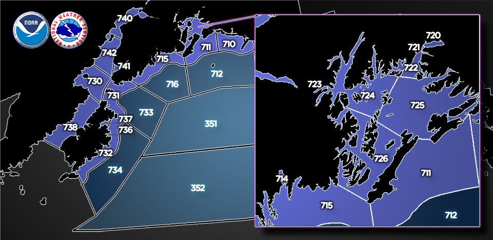
Click your area in the graphics below, or choose from the dropdown menu. Background information on the changes can be viewed here.
 
 
Gulf of Alaska North of 57° North and West of 144° West  Gulf of Alaska South of 57° North, North of 55° North and West of 144° West Gravel Point to Cape Cleare out to 15 NM Cape Suckling to Cape Cleare from 15 to 75 NM Resurrection Bay Cape Cleare to Gore Point out to 15 NM Port of Valdez Valdez Narrows Valdez Arm Passage Canal Northwest Prince William Sound Central and Eastern Prince William Sound Southwest Prince William Sound Cape Suckling to Gravel Point out to 15 NM Gravel Point to Cape Cleare out to 15 NM Cape Suckling to Cape Cleare from 15 to 75 NM Resurrection Bay Cape Cleare to Gore Point out to 15 NM Cape Cleare to Gore Point from 15 to 75 NM West of Barren Islands Including Kamishak Bay Barren Islands East Marmot Island to Sitkinak out to 15 NM Gore Point to Marmot Island from 15 to 80 NM Marmot Island To Sitkinak from 15 to 85 NM Chiniak Bay Marmot Bay Shelikof Strait Cook Inlet North Kalgin Island Kachemak Bay Cook Inlet Kalgin Island to Point Bede

Bering Sea West of 180° and East of the International Date Line  Bering Sea 171° West to 180° and North of 56° North Bering Sea 171° West to 180° and South of 56° North Bering Sea East of 171° West Sitkinak to Castle Cape out to 15 NM Sitkinak to Castle Cape from 15 to 100 NM Castle Cape to Cape Tolstoi out to 15 NM Castle Cape to Cape Tolstoi from 15 to 100 NM Cape Tolstoi to Cape Sarichef out to 15 NM Cape Tolstoi to Cape Sarichef from 15 to 100 NM Port Heiden to Nelson Lagoon out to 15 NM Port Heiden to Nelson Lagoon from 15 to 60 NM Nelson Lagoon to Cape Sarichef out to 15 NM Nelson Lagoon to Cape Sarichef from 15 to 70 NM Bristol Bay greater than 15 NM Bristol Bay from Port Heiden to Cape Chichagof out to 15 NM Bristol Bay from Cape Chichagof to Cape Pierce out to 15 NM Kuskokwim Delta and Etolin Strait out to 15 NM Kuskokwim Delta from 15 to 80 NM North and West of Nunivak Island Pribilof Islands Nearshore Waters Saint Matthew Island Waters Cape Sarichef to Nikoski Bering Side out to 15 NM Cape Sarichef to Nikoski Bering Side from 15 to 85 NM Cape Sarichef to Nikoski Pacific Side out to 15 NM Cape Sarichef to Nikoski Pacific Side from 15 to 85 NM Nikolski to Seguam Bering Side out to 15 NM Nikolski to Seguam Bering Side from 15 to 85 NM Nikolski to Seguam Pacfic Side out to 15 NM Nikolski to Seguam Pacific Side from 15 to 75 NM Unalaska Unalaska  Seguam to Adak Bering Side out to 15 NM Seguam to Adak Bering Side from 15 to 85 NM Seguam to Adak Pacific Side out to 15 NM Seguam to Adak Pacific Side from 15 to 75 NM Adak to Kiska Bering Side Adak to Kiska Pacific Side Kiska to Attu Bering Side Kiska to Attu Pacific Side


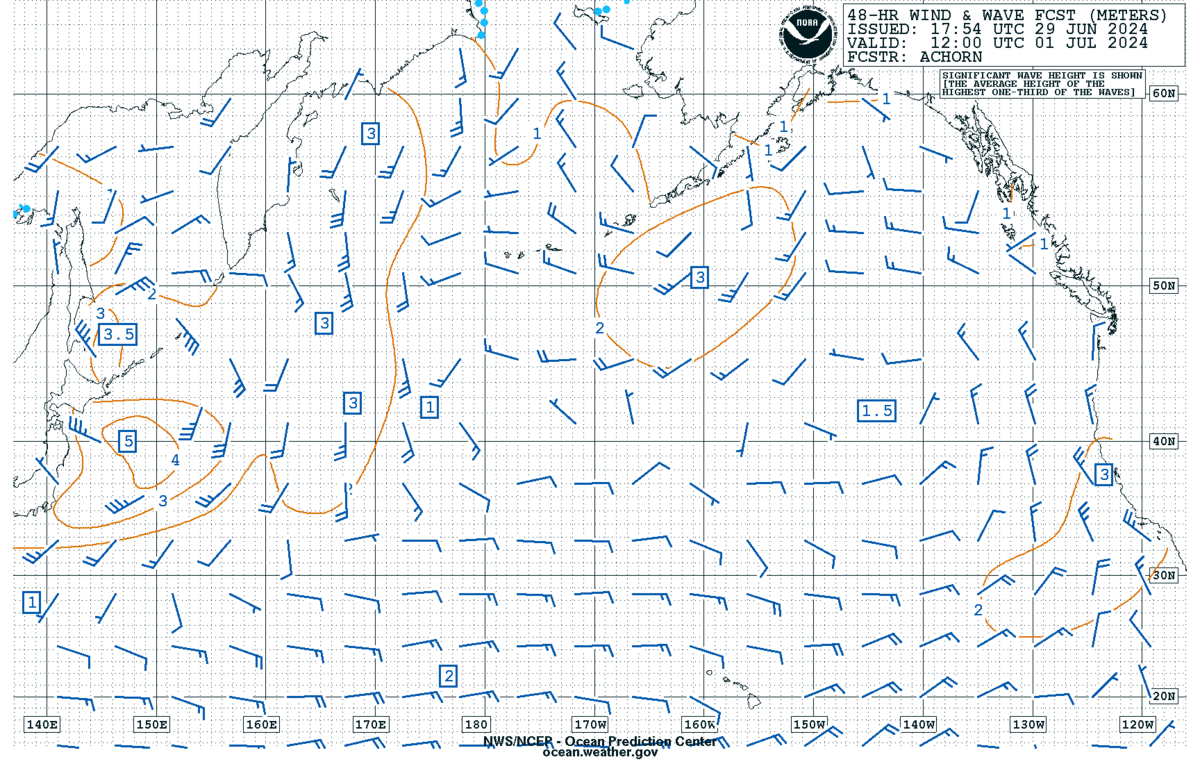
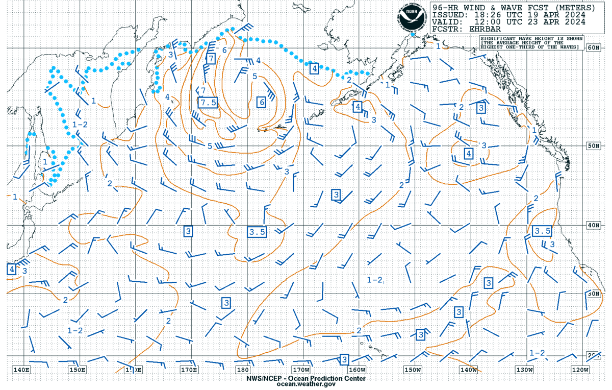
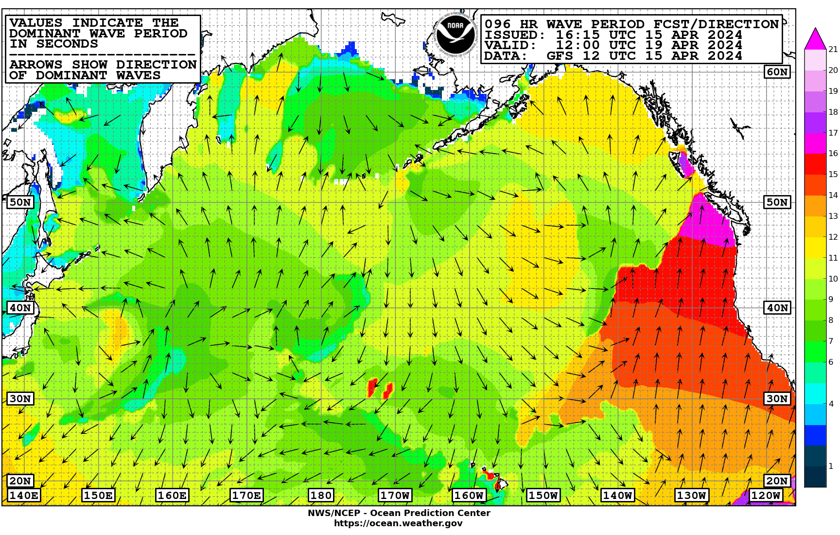
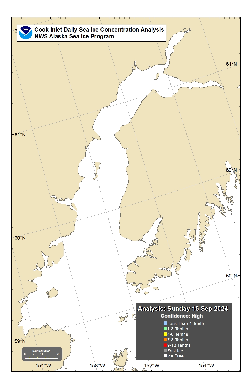
Marine Graphics

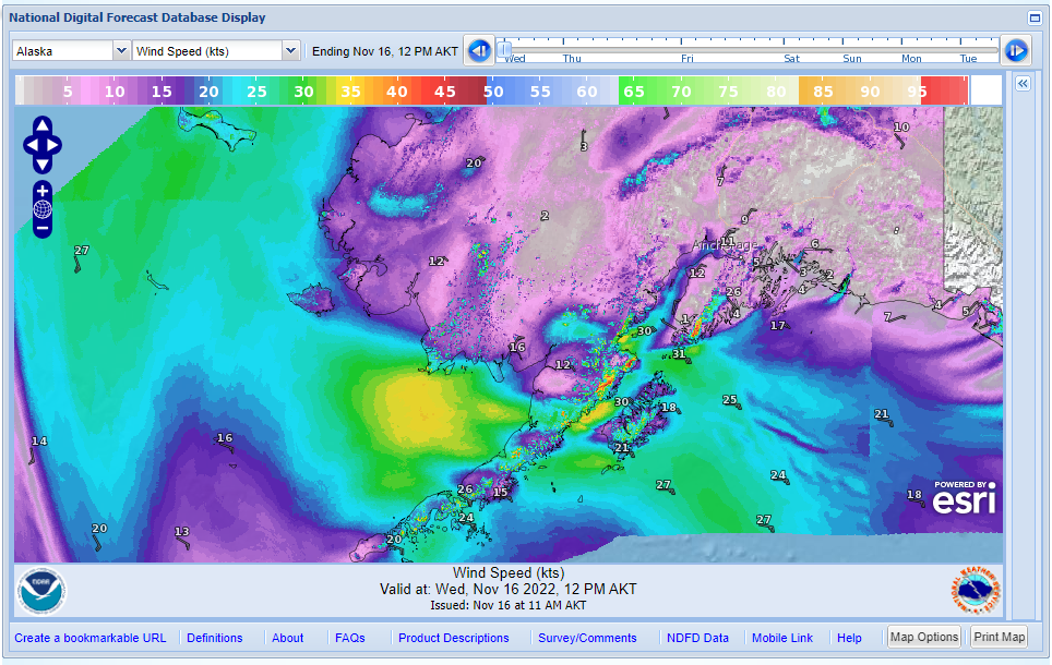
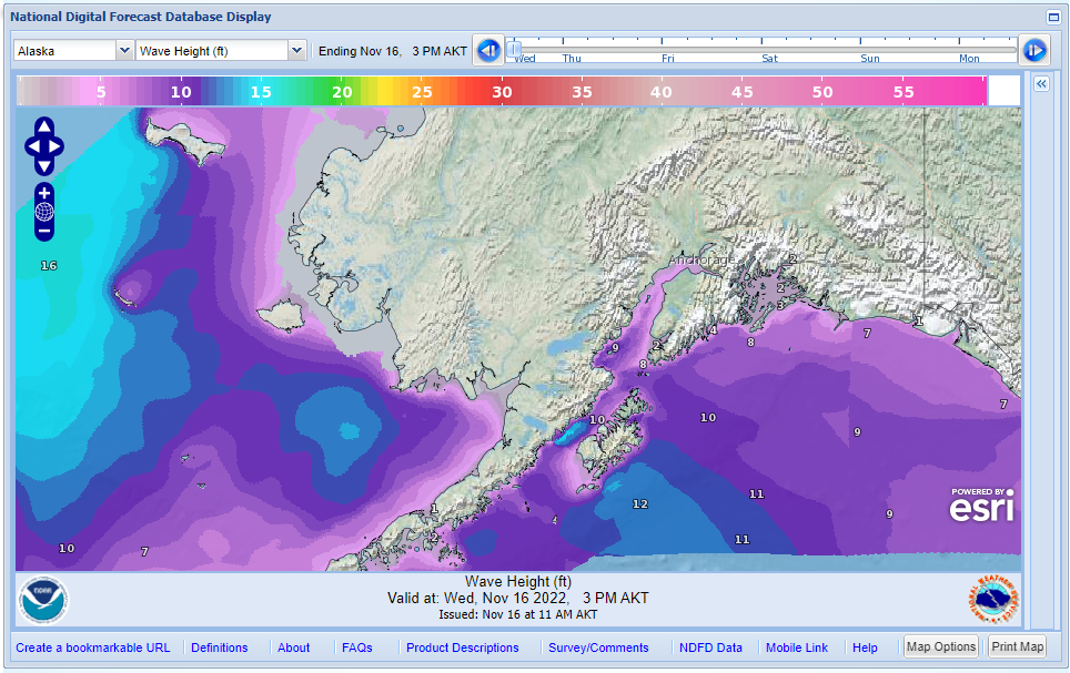
Digital Forecast Database - Pan & Zoom to your area of interest and step through the wind forecast in 3hr timesteps or the wave height forecast in 6hr timesteps.

Wind Graphical Forecast    Marine Wave Height Graphical Forecast

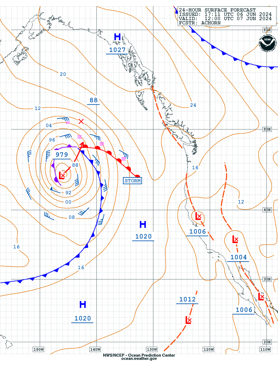
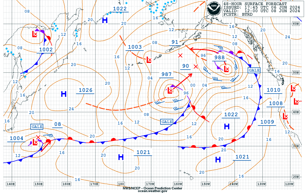
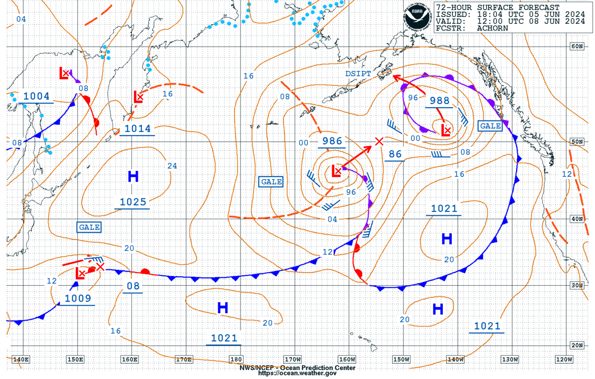
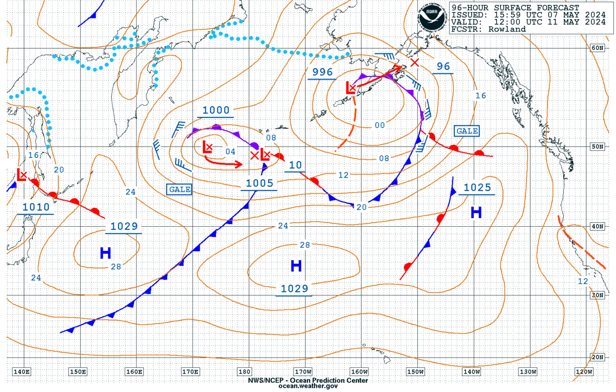
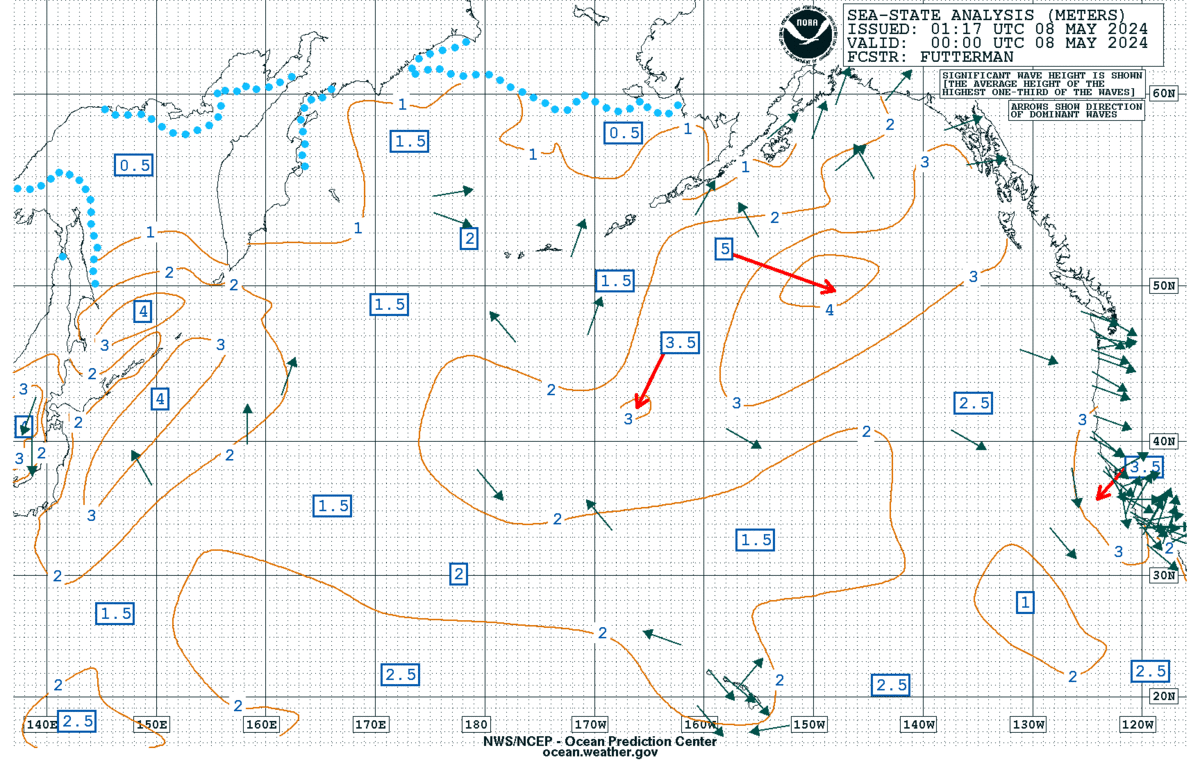
Note: The latest version of each weather chart is available here. This list is not in the order of transmission.

For a complete list of marine fax images and schedules, go here:
  Marine Radiofax Charts
  General Radiofax Information


Marine Fax Image:


Related Information

  Marine Text Products - Great for low-bandwidth
  NDBC  Buoy Map | Dial-A-Buoy
  Surface Analysis and Forecast (black & white)
  Marine & Safe Boating Safety!
  WRN Marine Ambassador program