Anchorage, AK
Weather Forecast Office
***NEW*** Learn more about icebergs in Alaska waters
Our ASIP is staffed 7 days a week from 6:30 am to 3:30 pm
Operations Phone Line: 907.266.5138
Operations Email: nws.ar.ice@noaa.gov
Sea ice analyses back to 1 March 2010 can be viewed at the AOOS Arctic Portal
To request any archived sea ice analyses back to approx. 1989 in jpg or shapefile format, please email our operations team at nws.ar.ice@noaa.gov with your request.
| Downloads: | Analysis | |
|---|---|---|
| Forecast |
 |
 |
 |
|---|---|---|
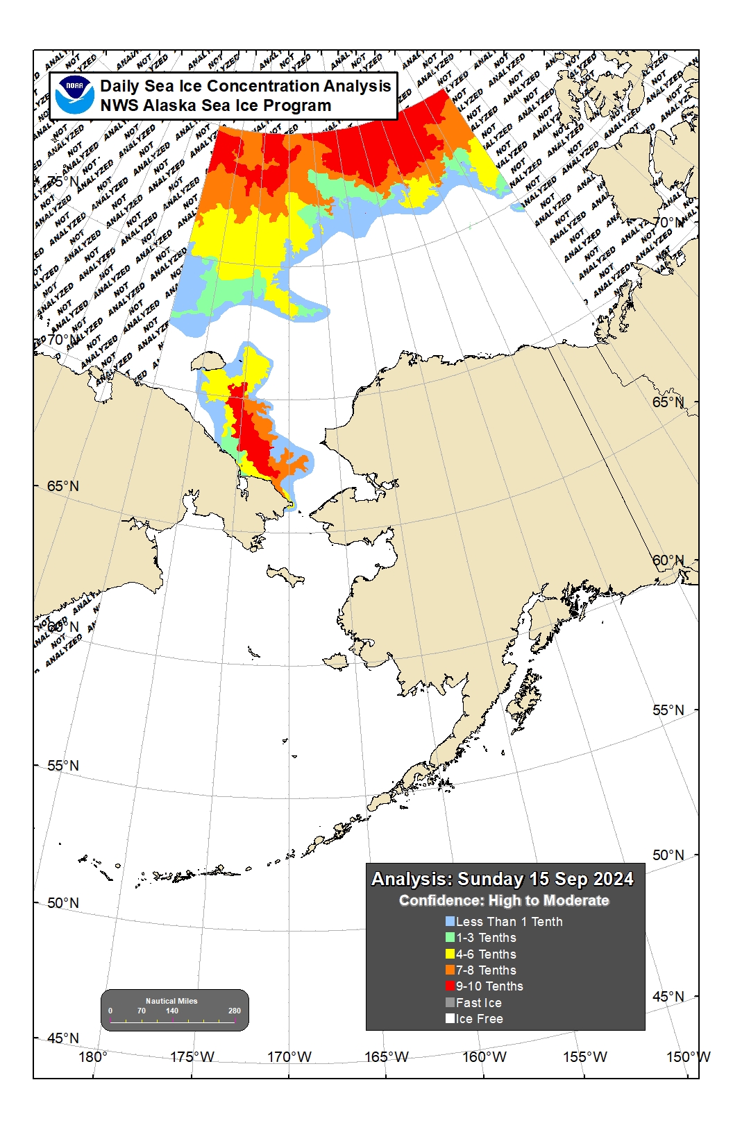
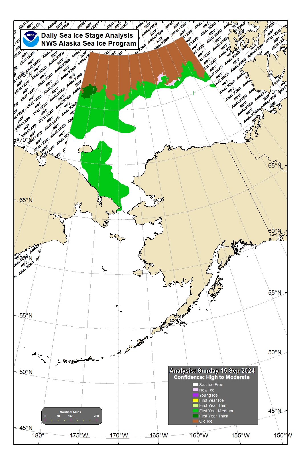
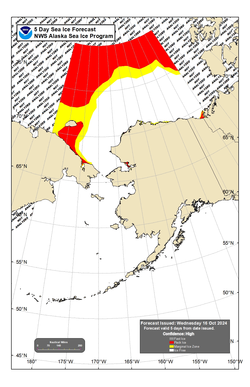
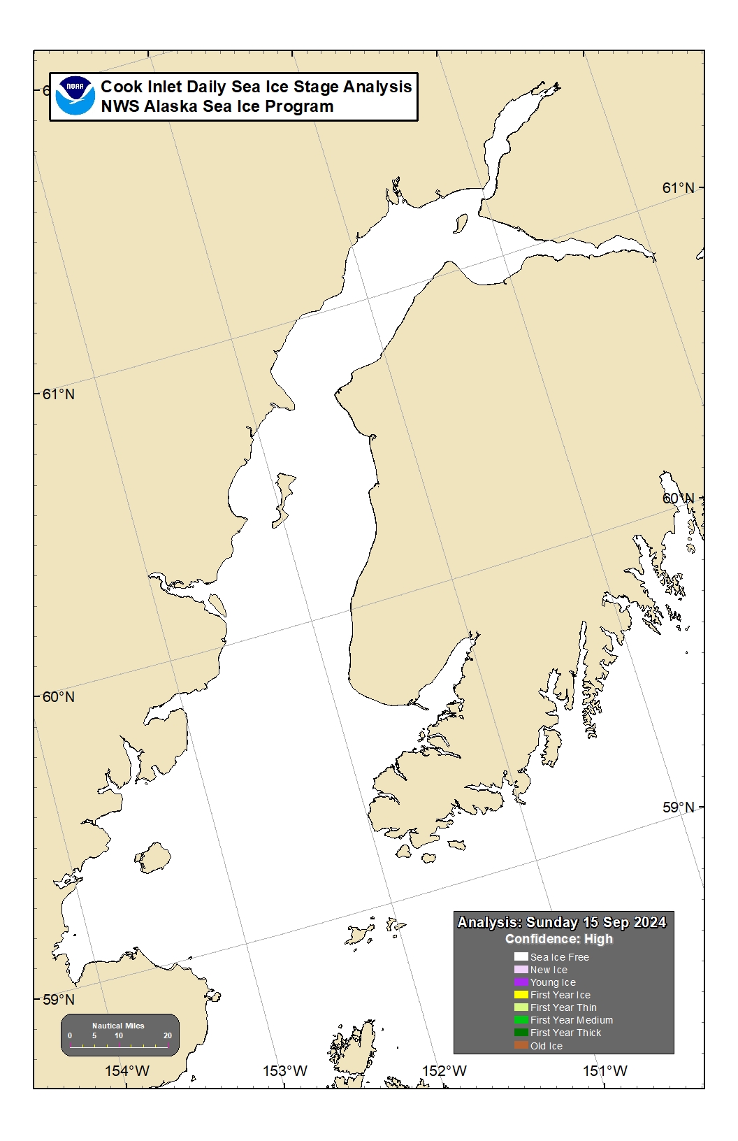
| Ice Concentration | Ice Stage | 5 Day Ice Forecast |
 |
 |
|---|---|
| Ice Concentration | Ice Stage |
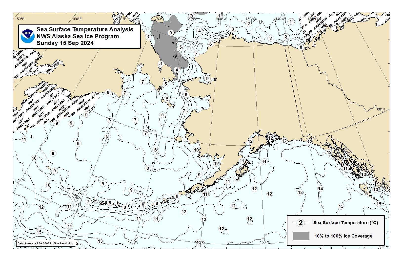
Sea Surface Temperature Analysis
 |
|---|
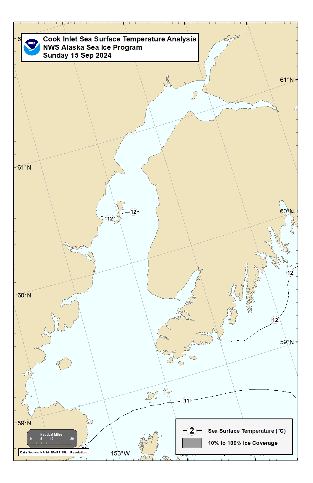
| Regional Analysis |
 |
|---|
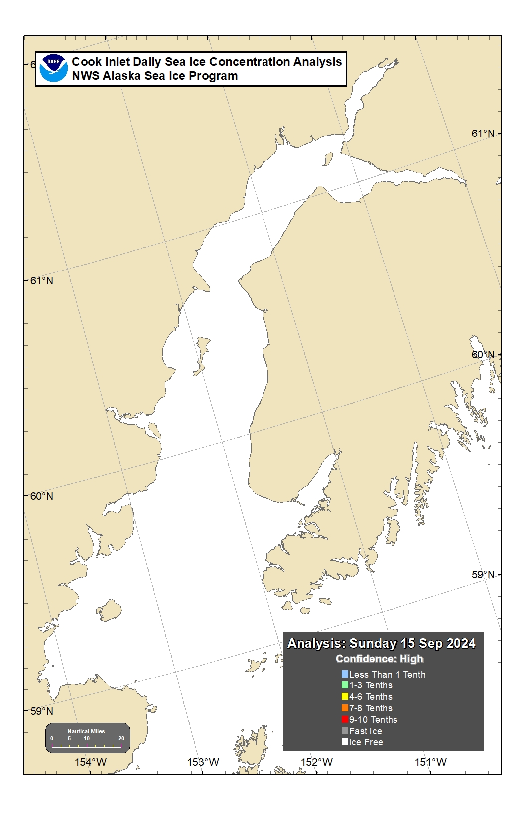
| Cook Inlet |
Save this page by clicking here
US Dept of Commerce
National Oceanic and Atmospheric Administration
National Weather Service
Anchorage, AK
6930 Sand Lake Road
Anchorage, AK 99502
907-266-5105
Comments? Questions? Please Contact Us.
US Dept of Commerce
National Oceanic and Atmospheric Administration
National Weather Service
Anchorage, AK
6930 Sand Lake Road
Anchorage, AK 99502
907-266-5105
Comments? Questions? Please Contact Us.


 Follow us on YouTube