
Heat expands across the Desert Southwest, Plains, Mississippi Valley and Midwest into Monday. Fire weather concerns continue for portions of the Intermountain West. Active monsoonal moisture fuels thunderstorms over the Southwest with possible flash flooding. Tropical cyclone Fausto in the Pacific, should weaken as it approaches Hawaii; Dangerous surf, swells and rip currents are expected. Read More >
If the zone forecast doesn't appear when you click on the map, click here for the complete fire weather zone forecast text.
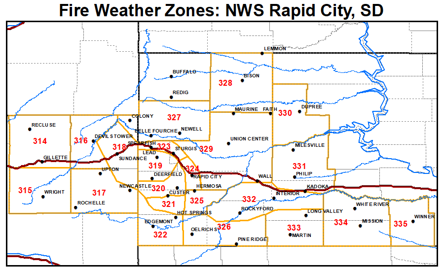
This page is intended to give you a source of fire weather information for the area. The National Weather Service in Rapid City is currently responsible for producing spot weather forecasts and land management forecasts for the local fire agencies.
Mail your burn plans to:
Attn: Burn Plans
300 East Signal Drive
Rapid City SD 57701
This will help us better prepare for your specific burn.

