
Record setting heat is expected over the next several days from the Intermountain West through the northern Plains. Furthermore, fire weather concerns increase with dry and breezy conditions. Meanwhile, heavy rainfall and severe thunderstorm threats for the Ohio/Tennessee Valleys, central Appalachians and Southeast today. The threat shifts to central Gulf Coast and across central Texas this week. Read More >
Banner image courtesy Pat Gerdes
SKYWARN SPOTTER SEASON 2025 REGISTRATION IS OPEN!
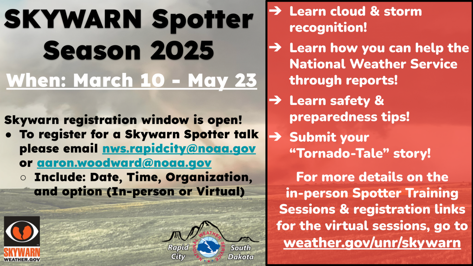
 Becoming a Skywarn Storm Spotter helps the National Weather Service during severe weather operations. Skywarn Spotters go out and provide crucial ground truth by reporting real-time storm reports that are then shared to the radar meteorologists which helps improve the warning process and storm verification. Research has shown that people are more likely to seek shelter if a warning is confirmed!
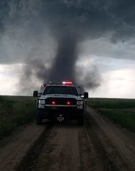
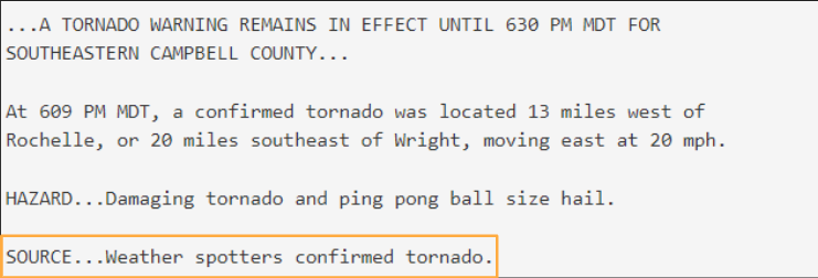
WARNING + CONFIRMATION = SHELTER RESPONSE
How to Report
There are a variety of ways to report weather to the NWS office in Rapid City, SD
You can use any/all of these to reach us. Below the contact info are the types of information we'd like you to report. Please be sure to include the location of the weather event, e.g. 5 miles northwest of Columbus. You may also indicate if you are a trained spotter, a ham radio operator, a member of law enforcement, or other affiliation if applicable.
 Submit Report
Use this Web Based Form: Submit Report
![]()
Post information on our Facebook page:
https://www.facebook.com/NWSRapidCity
![]()
Send us a tweet:

Send us an email:
![]()
Mobile App
Send reports from your location via a smartphone app: MPing
To view Skywarn Spotter Talk information, hover over the blue dot in the area you are interested in to view talk information!

