Northeast RFC
River Forecast Center
NERFC Snow Information Page |
|
|
Modeled Snow Depth and SWE - FULL VIEW |
|
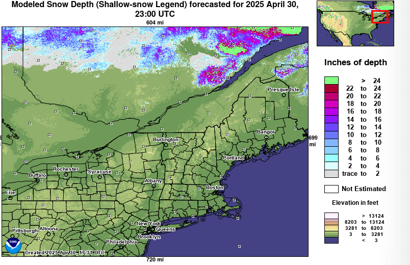 NOHRSC Snow Depth Graphic (Full-size) * NOHRSC Snow Depth Images(Clickable) NOHRSC Snow Depth page NOHRSC Snow Depth Departure from Normal 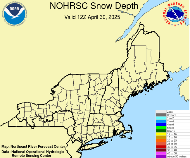 NOHRSC Alternate Color Scale (Full-size) |
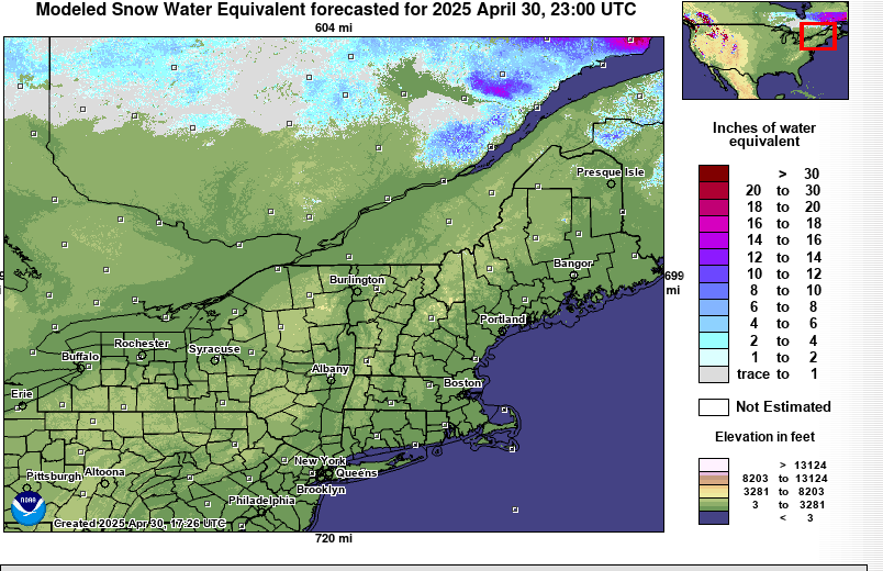 NOHRSC Modeled SWE Image (Full-size) NOHRSC Modeled SWE page Maine Cooperative Snow Survey US Army Corps of Engineers Snow Survey 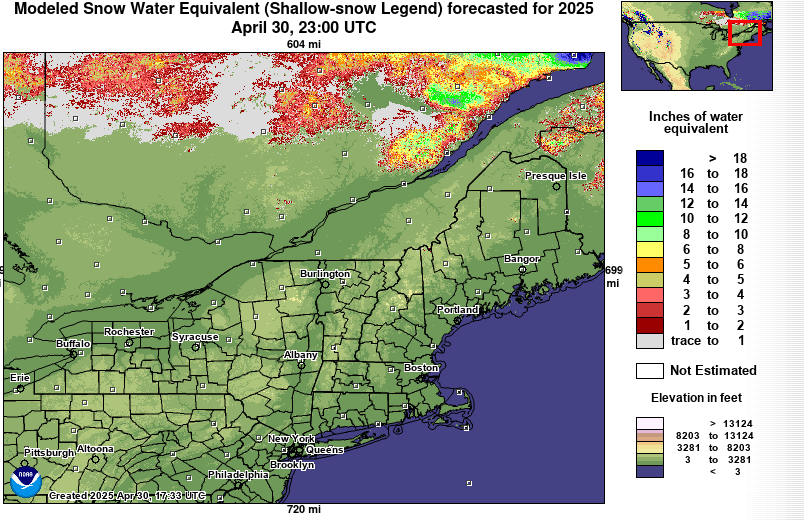 NOHRSC High Contrast Snow Water Equivalent (Full-size) |
Snow Probability Forecast |
Regional Snow Forecast |
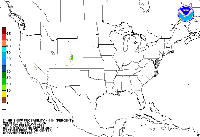 Full-size Image WPC Winter Weather Page |
Regional Snow Forecast Graphic State Snow Forecast Graphics: CT | MA | ME | NH | NY | RI | VT |
Modeled and Forecast Snowmelt |
|
|
For information on the snow model utilized by NOHRSC please reference this link: NOHRSC Modeling Documentation 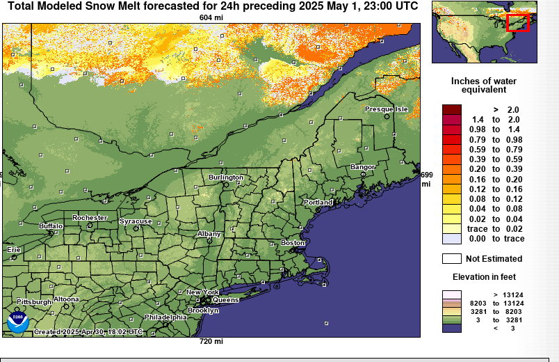 NOHRSC 24 Hour Forecast Snow Melt(Full-size) NOHRSC 24 Hour Forecast Snow Melt Page |
For information on the snow model utilized by the NERFC please reference this link: Snow17 Documentation 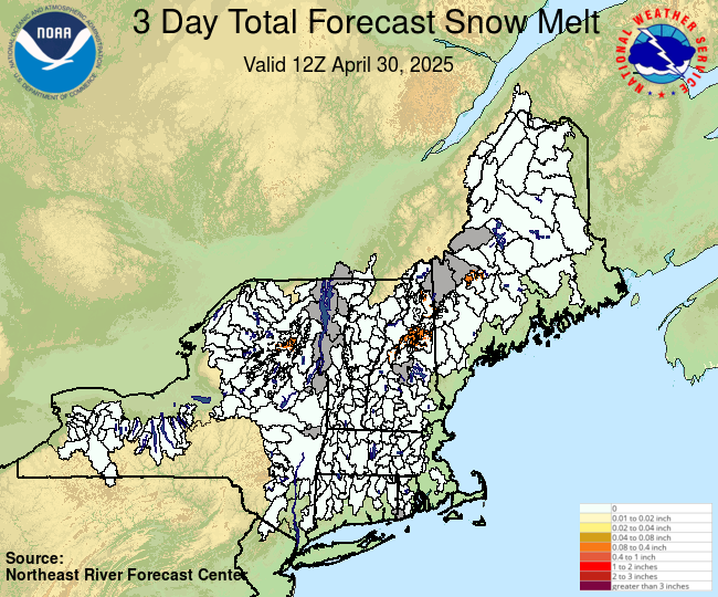 |
Modeled Ice Thickness |
|
The information in this graphic is for informational purposes only. The values have not been verified. |
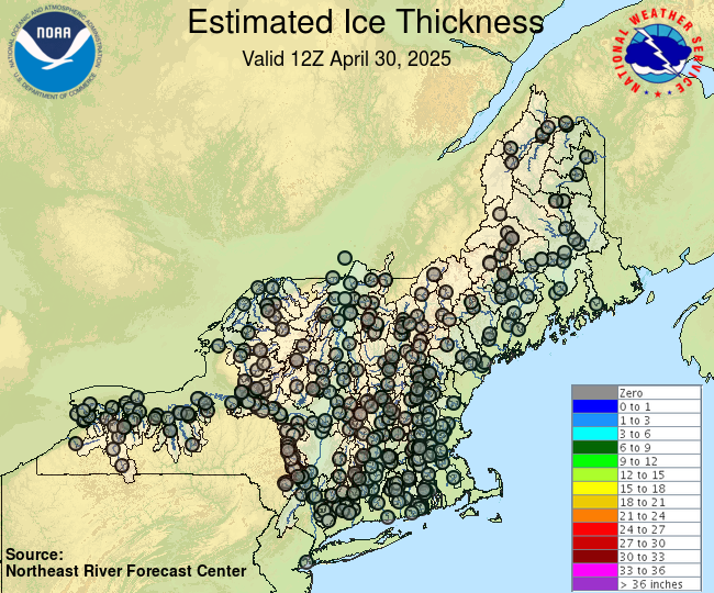 |
|
If there is something else you would like to see or a way we can make this page easier to use just drop us an email at: nerfc.operations@noaa.gov |
|
US Dept of Commerce
National Oceanic and Atmospheric Administration
National Weather Service
Northeast RFC
46 Commerce Way
Norton, MA 02766
(508) 622-3300
Comments? Questions? Please Contact Us.

