Scattered severe thunderstorms, associated with tornadoes, large hail, and wind damage, are likely through Monday night from the Southern Plains into the Ozarks and mid Mississippi Valley. An Enhanced Risk (level 3 of 5) has been issued. Heavy mountain snow is expected to impact the higher terrain of the Pacific Northwest, Intermountain West, and Rockies for much of this week. Read More >
Northeast RFC
River Forecast Center
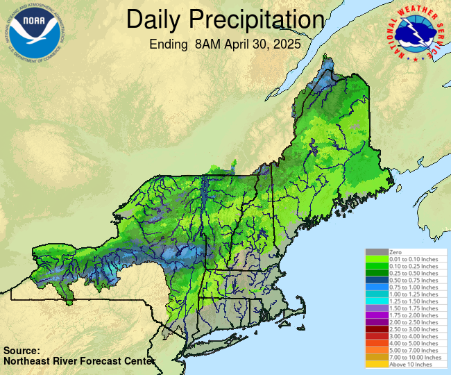
One Week Archive of Daily Gage Precipitation Graphics
CoCoRaHS Precipitation Observations
US Dept of Commerce
National Oceanic and Atmospheric Administration
National Weather Service
Northeast RFC
46 Commerce Way
Norton, MA 02766
(508) 622-3300
Comments? Questions? Please Contact Us.