National Weather Service United States Department of Commerce

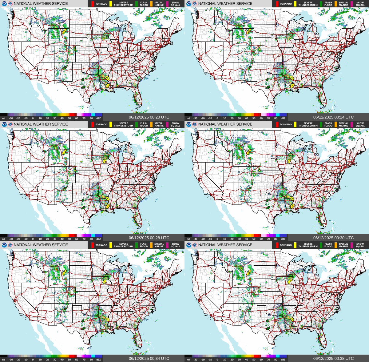
Severe Weather and Heavy Rain Continues in the Central U.S.; Mountain Snow Across Much of the West

Scattered severe thunderstorms, associated with tornadoes, large hail, and wind damage, are likely through Monday night from the Southern Plains into the Ozarks and mid Mississippi Valley. An Enhanced Risk (level 3 of 5) has been issued. Heavy mountain snow is expected to impact the higher terrain of the Pacific Northwest, Intermountain West, and Rockies for much of this week. Read More >

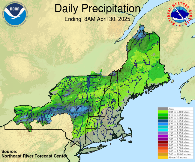
Observed Precipitation
NERFC Observed Precipitation


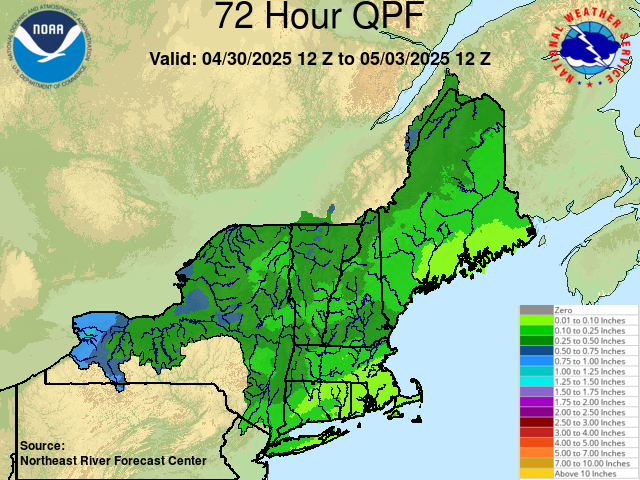
Forecast Precipitation
NERFC Forecast Precipitation


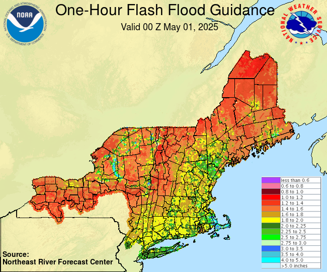
1 Hour Flash flood Guidance
1 Hour Flash Flood Guidance


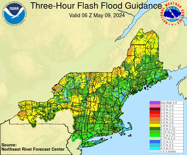
3 Hour Flash flood Guidance
3 Hour Flash Flood Guidance


Flood Potential Outlook
NERFC 5-Day Flood Potential Outlook


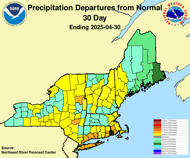
Precipitation and Departures from Normal


Short-Term Precipitation Totals
Short-term Precipitation Totals


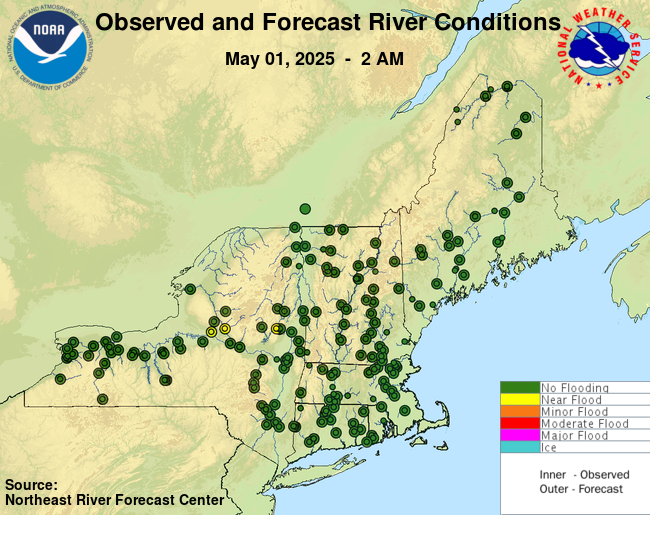
 River Conditions

Click here to link to AHPS page.
NERFC AHPS page
   
   
Text Products and Other Links

Flood Statements
Recent Flood Statements

Headwater Flash Flood Guidance
Headwater Guidance

Briefings and Discussions
Briefings and Discussions Page

Advanced Hydrologic Prediction Service
AHPS Home Page

Hydrologic Conditions
River Observations updated 3 times daily
Today's River Conditions

Hydrologic Ensembles
Short-range Hydrologic Ensembles


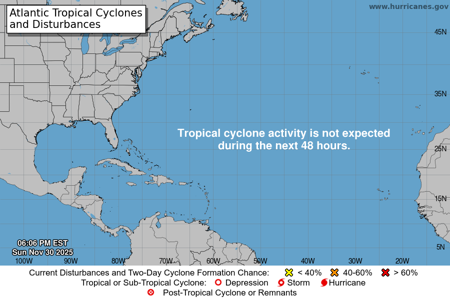
Atlantic Tropical Cyclone Activity from the National Hurricane Center


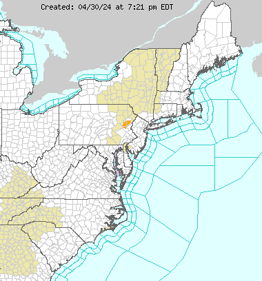
Eastern Region Hazards

USGS WaterWatch
USGS WaterWatch


Short Range Forecast
WPC Short Range Forecast


Satellite Images
GOES Satellite Images


WPC 1-3 Day QPF
WPC QPF for Days 1-3


Excessive Rainfall Forecast


Drought Monitor
Drought Monitor