
Heat expands across the Desert Southwest, Plains, Mississippi Valley and Midwest into Monday. Fire weather concerns continue for portions of the Intermountain West. Active monsoonal moisture fuels thunderstorms over the Southwest with possible flash flooding. Tropical cyclone Fausto in the Pacific, should weaken as it approaches Hawaii; Dangerous surf, swells and rip currents are expected. Read More >
Milwaukee/Sullivan, WI
Weather Forecast Office
The Southern Wisconsin Regional Airport near Janesville (JVL) and the Sheboygan County Memorial Airport (SBM) will are now official TAF sites, as of July 1st at 18Z (1 pm).
What is a TAF? A Terminal Aerodrome Forecast (TAF) is a 24- to 30- hour surface forecast for a five nautical mile radius around an airport. TAFs include the forecast wind speed, wind direction, visibility, ceiling height and weather in a concise format. TAFs are issued by the local National Weather Service office. They are routinely issued four times per day and amended as the weather or forecast dictates.
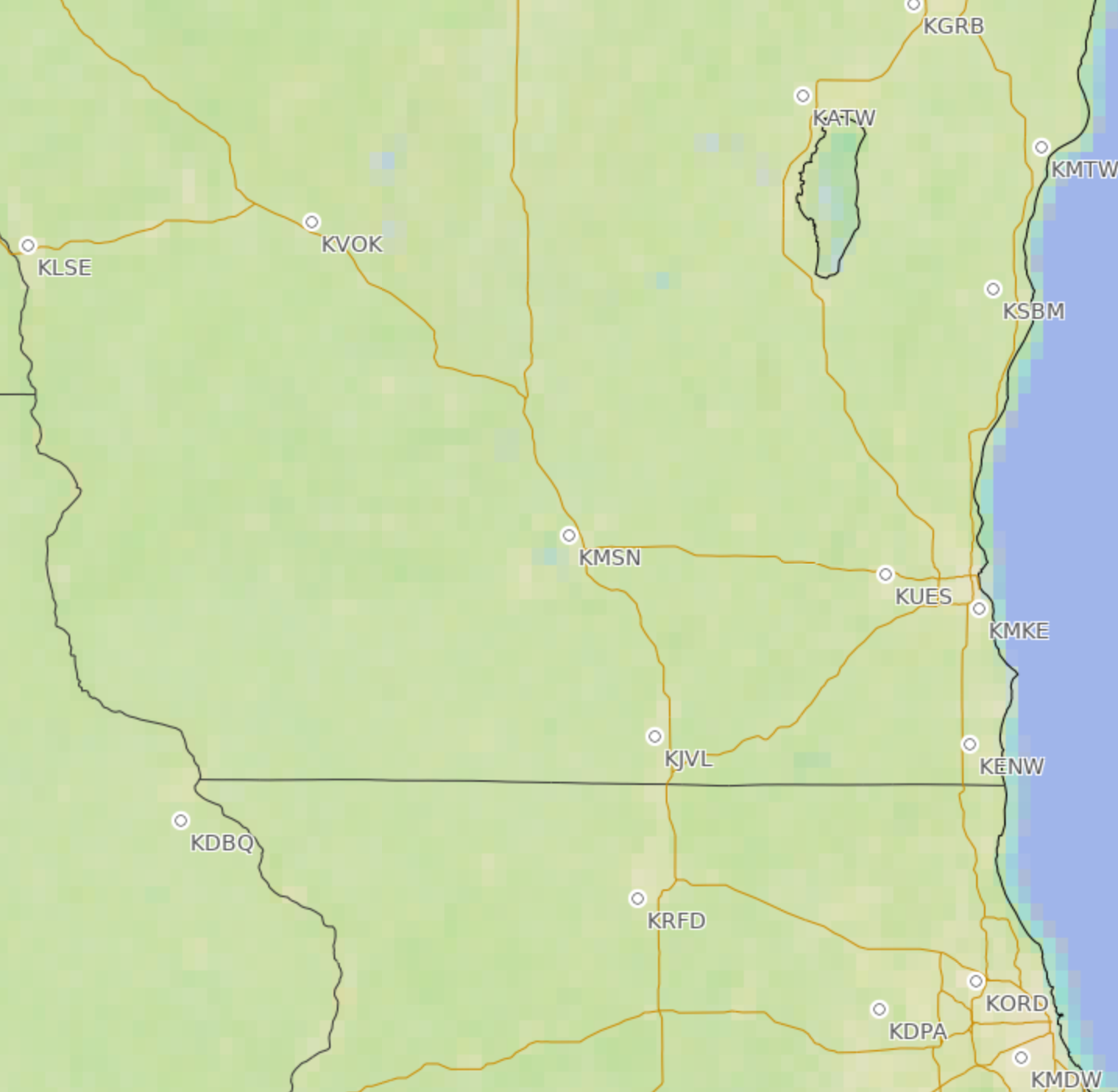
There are many airports around the country, but only a handful are designated as TAF sites. You can view the TAFs on various websites, and the Aviation Weather Center is one of them. The image below shows the TAF sites around southern Wisconsin.
For more information about aviation forecasts for southern Wisconsin, go to our Aviation website: https://www.weather.gov/mkx/aviation.
If you have any questions regarding TAFs or southern Wisconsin weather, email us at nws.milwaukee@noaa.gov
National Weather Service
Milwaukee/Sullivan
Hazards
National Briefing
Hazardous Weather Outlook
Skywarn
View Local Storm Reports
Submit A Storm Report
Winter Weather
Summer Weather
Beach Hazards
Local Forecasts
Marine
Aviation
Fire
Local Text Products
Local Precip Forecast
Hourly Forecast Graphics
Forecast Discussion
Climate
Historic Events For Srn WI
Lightning Plot Archive
Daily Climate Graphics
Local Climate Products
Normals/Records MKE/MSN
CoCoRaHS
US Dept of Commerce
National Oceanic and Atmospheric Administration
National Weather Service
Milwaukee/Sullivan, WI
N3533 Hardscrabble Road
Dousman, WI 53118
262-965-2074
Comments? Questions? Please Contact Us.

