A major winter storm is expected to bring heavy snow, strong winds, and coastal flooding across the Mid-Atlantic and Northeast that may cause impossible travel conditions and power outages. Blizzard conditions are possible along coastal areas from the DelMarVa Peninsula through southeastern New England. Wet weather and strong winds return to the Pacific Northwest and north-central California. Read More >
Lake Charles, LA
Weather Forecast Office
|
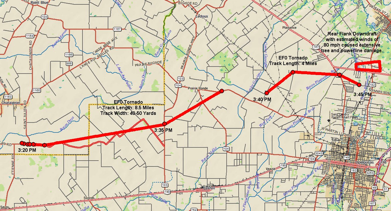
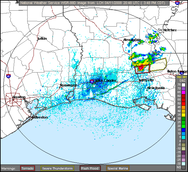
On Friday afternoon April 11, 2008, a lone thunderstorm developed along an advancing cold front just north of Lake Charles near Gillis, LA. As the thunderstorm moved east following the frontal boundary and basically US-190, the thunderstorm split into 2 separate storms upon entering extreme southern Jeff Davis parish across Southwest Louisiana. The northern storm eventually dissipated, while the southern storm began to move due east, exhibiting characteristics of a right-moving supercell. The strong thunderstorm continued to grow and a severe thunderstorm warning was issued at 3:19 PM CDT. The severe thunderstorm continued on a track just north of US 190 moving almost due east now, and continued to get better organized, with rotation beginning to form within the 0.5 degree elevation velocity (Storm Relative Motion) product. Thus, the severe thunderstorm warning was upgraded to a tornado warning at 3:45 PM CDT. The severe thunderstorm resulted in a couple of EF0 tornadoes across southern Evangeline, western and central St. Landry parishes, along with straight line wind damage. Click here for the complete Local Storm Reports and survey results. |
||
|
|
||
|
Map of tornado tracks across Acadiana. Click image or here for higher resolution.
|
||
|
|
||
|
WSR-88D reflectivity radar image from NWS Lake Charles. Click image or here for animation.
|
||
|
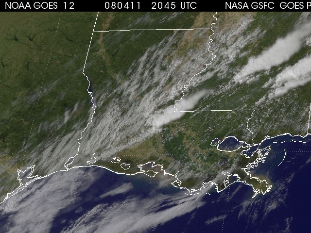
1km Visible GOES 12 satellite image. Click image or here for animation (Windows Media Format).
|
||
|
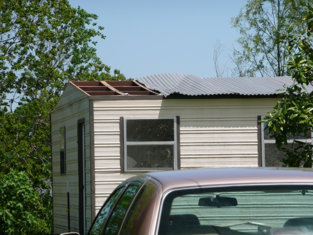
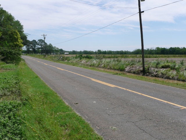
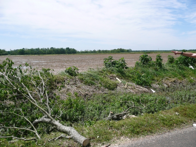
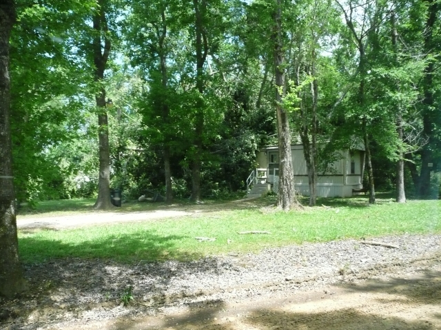
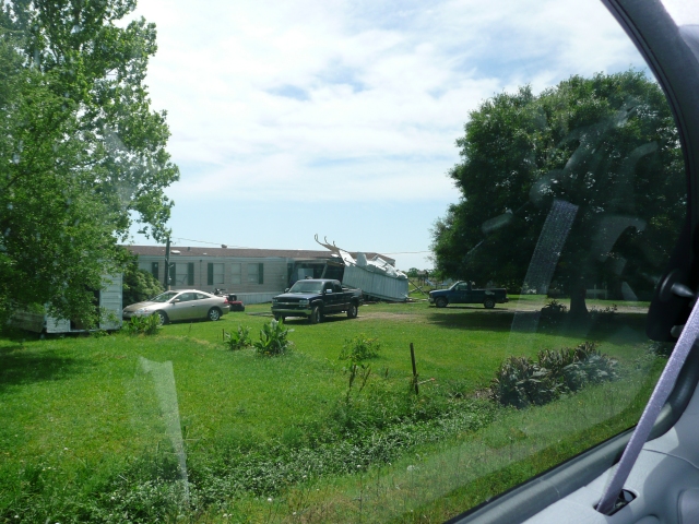
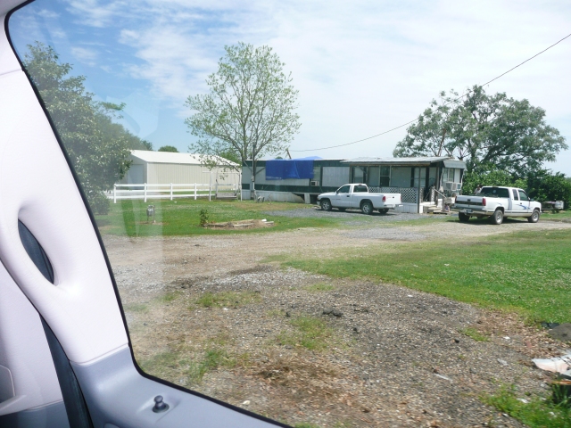
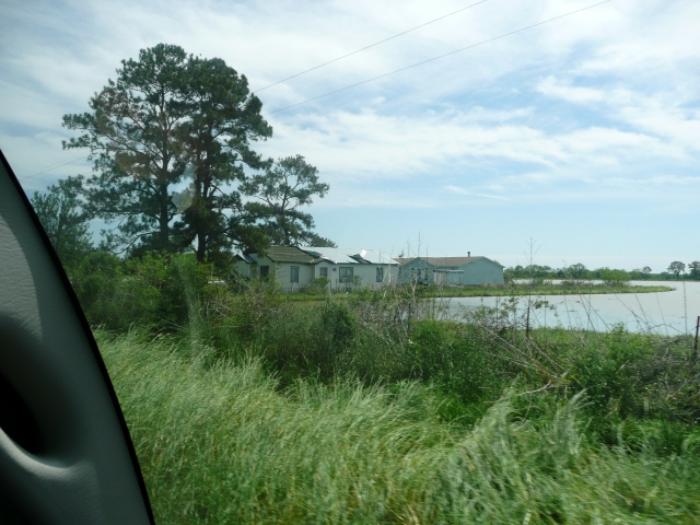
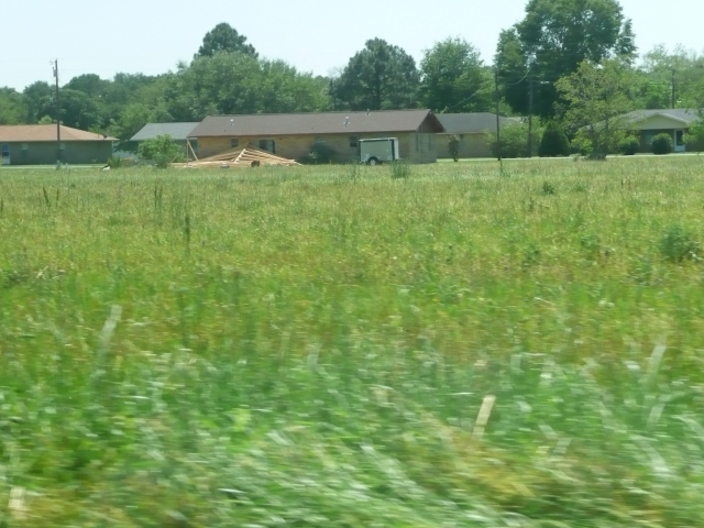
Storm survey photos.
Click image for higher resolution. |
||
 |
 |
 |
 |
 |
 |
 |
 |
 |
Forecasts
Wet Bulb Globe Temps
Aviation Weather
Activity Planner
Mardi Gras Decision Support
Marine Forecasts
Local Products
Model Data
Forecaster's Discussion
Fire Weather
Graphical Forecasts
Other Links
National Hurricane Ctr
Storm Prediction Ctr
Weather Prediction Ctr
Other Links
Office History
LCH StoryMap
Hazards
Severe Weather
Tropical Weather
National Outlooks
Local Storm Reports
Tropical Cyclone Reports
Current
Satellite Data
Observations
Tide Data
Hydrology
Calcasieu Par. Network
Jefferson Co. DD6 Network
River/Lake Forecasts
Radar
Shreveport (SHV)
New Orleans (LIX)
Fort Polk (POE)
Houston/Galveston (HGX)
Lake Charles (LCH)
Probabilistic Pages
Probabilistic Snowfall
Probabilistic Rainfall
Probabilistic DSS
US Dept of Commerce
National Oceanic and Atmospheric Administration
National Weather Service
Lake Charles, LA
500 Airport Boulevard
Lake Charles, LA 70607
(337) 477-5285 M-F 8a to 4p only
Comments? Questions? Please Contact Us.


