Lake Charles, LA
Weather Forecast Office
|
|
|
MARCH 5, 2011 TORNADOES |
|
|
| Overview |
|
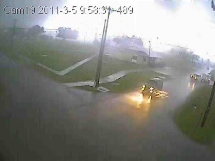
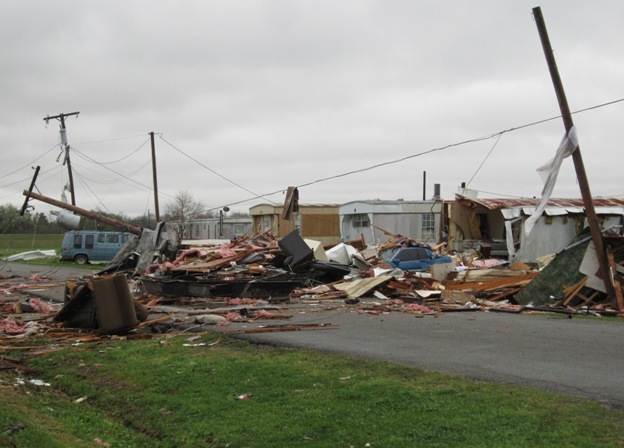
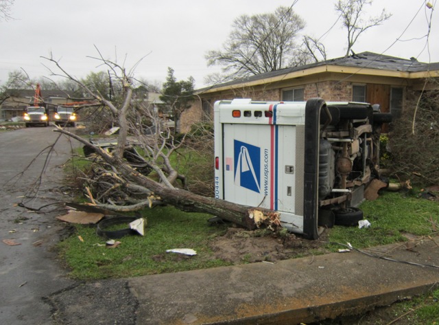
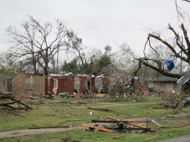
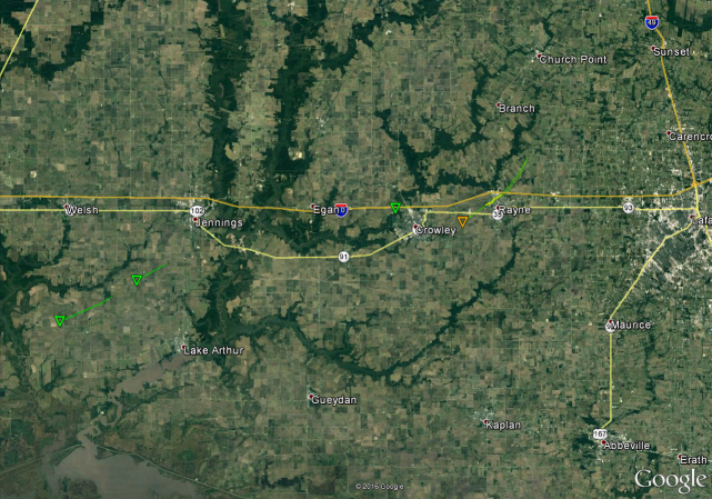
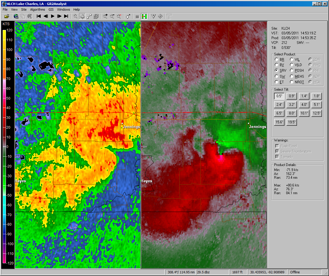
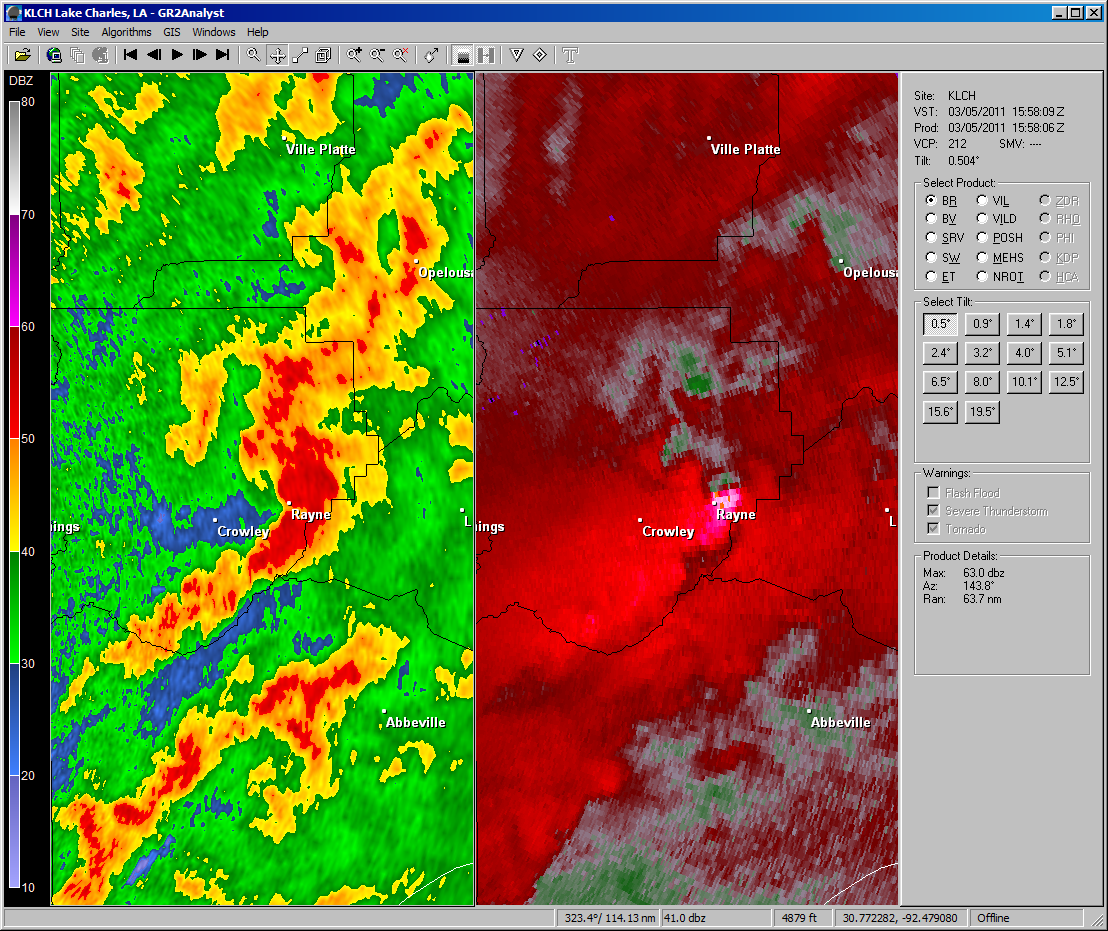
A strong shortwave trough pushed east out of the Rockies and across the southern plains late Friday, March 4th into Saturday, March 5th. Southerly winds over the course of the previous 48 hours allowed for abundant moisture to be pushed into the region. Considerable wind shear, resulting from a strong upper level jet stream over the area, allowed for a few of the developing thunderstorms to begin rotating. Widespread thunderstorms developed across southwest Louisiana early on March 5th and moved eastward through the morning. One supercell thunderstorm produced four tornado touchdowns across Jefferson Davis and Acadia parishes, including an EF2 tornado that ripped through the small town of Rayne, LA. This tornado damaged 683 homes and numerous other buildings, resulting in 1 fatality and 12 injuries. Damage estimates from this tornado are in the tens of millions of dollars, making this one of the most damaging tornadoes ever in southwest Louisiana. The storms continued to push eastward into southeast Louisiana where they produced four additional tornadoes. |
| Google Map Legend | |||||
|
Tornadoes |
EF0 |
EF1 |
EF2 |
||
|
Hail |
<1" |
1"+ |
2"+ |
3"+ |
4"+ |
| T'storm Wind |
|
||||
| Radar Images | |
Forecasts
Graphical Forecasts
Wet Bulb Globe Temps
Aviation Weather
Activity Planner
Mardi Gras Decision Support
Marine Forecasts
Local Products
Model Data
Forecaster's Discussion
Fire Weather
Other Links
National Hurricane Ctr
Storm Prediction Ctr
Weather Prediction Ctr
Other Links
Office History
LCH StoryMap
Hazards
Severe Weather
Tropical Weather
National Outlooks
Local Storm Reports
Tropical Cyclone Reports
Current
Satellite Data
Observations
Tide Data
Hydrology
Calcasieu Par. Network
Jefferson Co. DD6 Network
River/Lake Forecasts
Radar
Shreveport (SHV)
New Orleans (LIX)
Fort Polk (POE)
Houston/Galveston (HGX)
Lake Charles (LCH)
Probabilistic Pages
Probabilistic Snowfall
Probabilistic Rainfall
Probabilistic DSS
US Dept of Commerce
National Oceanic and Atmospheric Administration
National Weather Service
Lake Charles, LA
500 Airport Boulevard
Lake Charles, LA 70607
(337) 477-5285 M-F 8a to 4p only
Comments? Questions? Please Contact Us.


