| February 15 2016 Severe Weather |

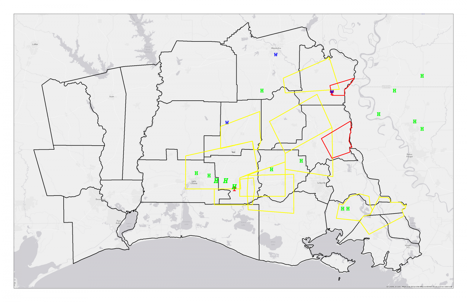
Map of severe weather reports and severe thunderstorm and tornado warnings on February 15th.
| Event Overview |
|
An area of low pressure moved along the Gulf Coast triggering showers and thunderstorms during the morning and afternoon of February 15, 2016. Surface temperatures in the mid to upper 60s combined with dew points in the mid 60s resulted in a large amount of atmospheric instability compared to typical February conditions. Deep level wind shear supported the development of rotating updrafts and, as surface temperatures began to increase throughout the morning, several supercell thunderstorms developed ahead of the surface cold front. These prefrontal thunderstorms resulted in two EF-0 tornadoes. One tornado resulted in damage to several buildings near Plaucheville in Avoyelles Parish. Another tornado touched down in open fields south of Welsh in Jefferson Davis Parish and dissipated before producing any damage. |
|
February 15th Lake Charles Morning Sounding (Click for a larger image) |
Lake Charles Sig. Hail Parameter Climatology (Click for a larger image) |
|
Lake Charles Mixed Layer CAPE Climatology (Click for a larger image) |
Lake Charles Most Unstable CAPE Climatology (Click for a larger image) |
Page by: Tim Humphrey Last Updated: Feb 17, 2016