Overview
|
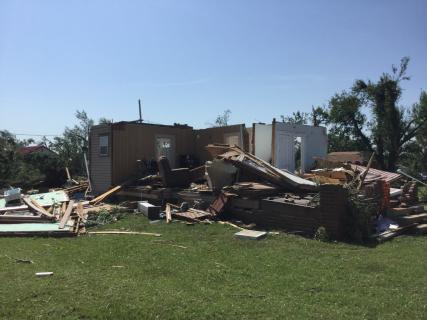
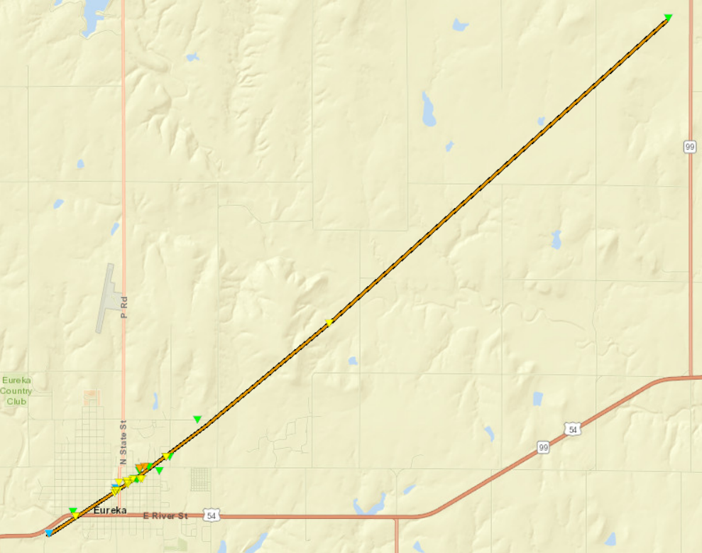
Shortly after 7 pm a tornado quickly developed on the southwest fringes of Eureka, KS. The tornado tore across the town from southwest to northeast causing extensive tree damage along with destroying numerous houses and businesses. In addition, the entire town lost power. The tornado attained an EF-3 rating. The preliminary information points to the tornado being on the ground for approximately 17 minutes. Also of note, this is the 4th tornado to produce damage in the community of Eureka since 1950. |
 Damage to a home in Eureka |
Tornadoes:
|
Eureka Tornado
Track Map  
|
||||||||||||||||
The Enhanced Fujita (EF) Scale classifies tornadoes into the following categories:
| EF0 Weak 65-85 mph |
EF1 Moderate 86-110 mph |
EF2 Significant 111-135 mph |
EF3 Severe 136-165 mph |
EF4 Extreme 166-200 mph |
EF5 Catastrophic 200+ mph |
 |
|||||
Photos & Video:
NWS Damage Survey Photo |
NWS Damage Survey Photo |
NWS Damage Survey Photo |
NWS Damage Survey Photo |
NWS Damage Survey Photo |
NWS Damage Survey Photo |
NWS Damage Survey Photo |
NWS Damage Survey Photo |
|
|
|
|
| One of the few pictures of the tornado | |||
|
|
|
|
Radar:
Header
 |
 |
||
| Reflectivity and Storm Relative Velocity | Visible Satellite |
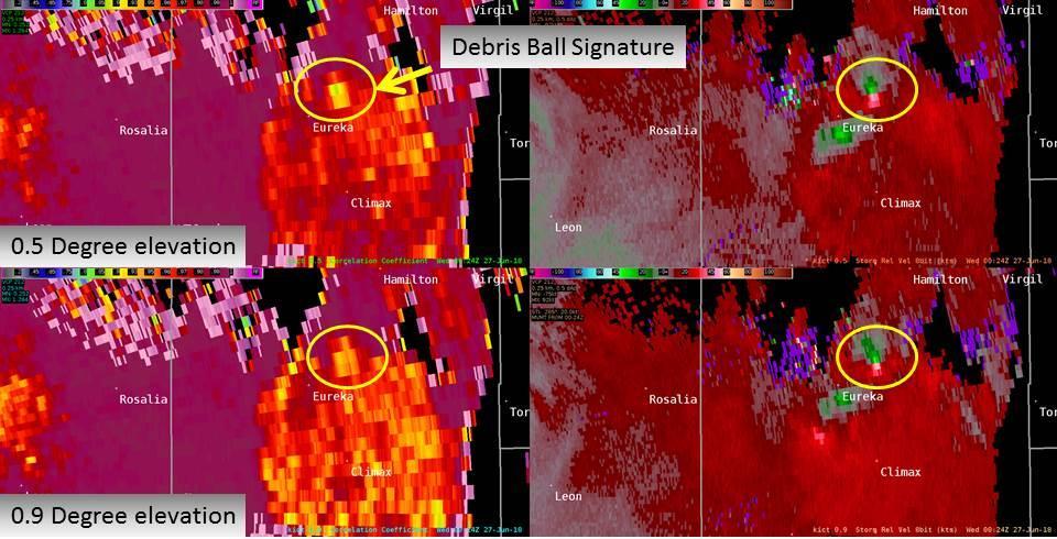
Debris Ball Signature |
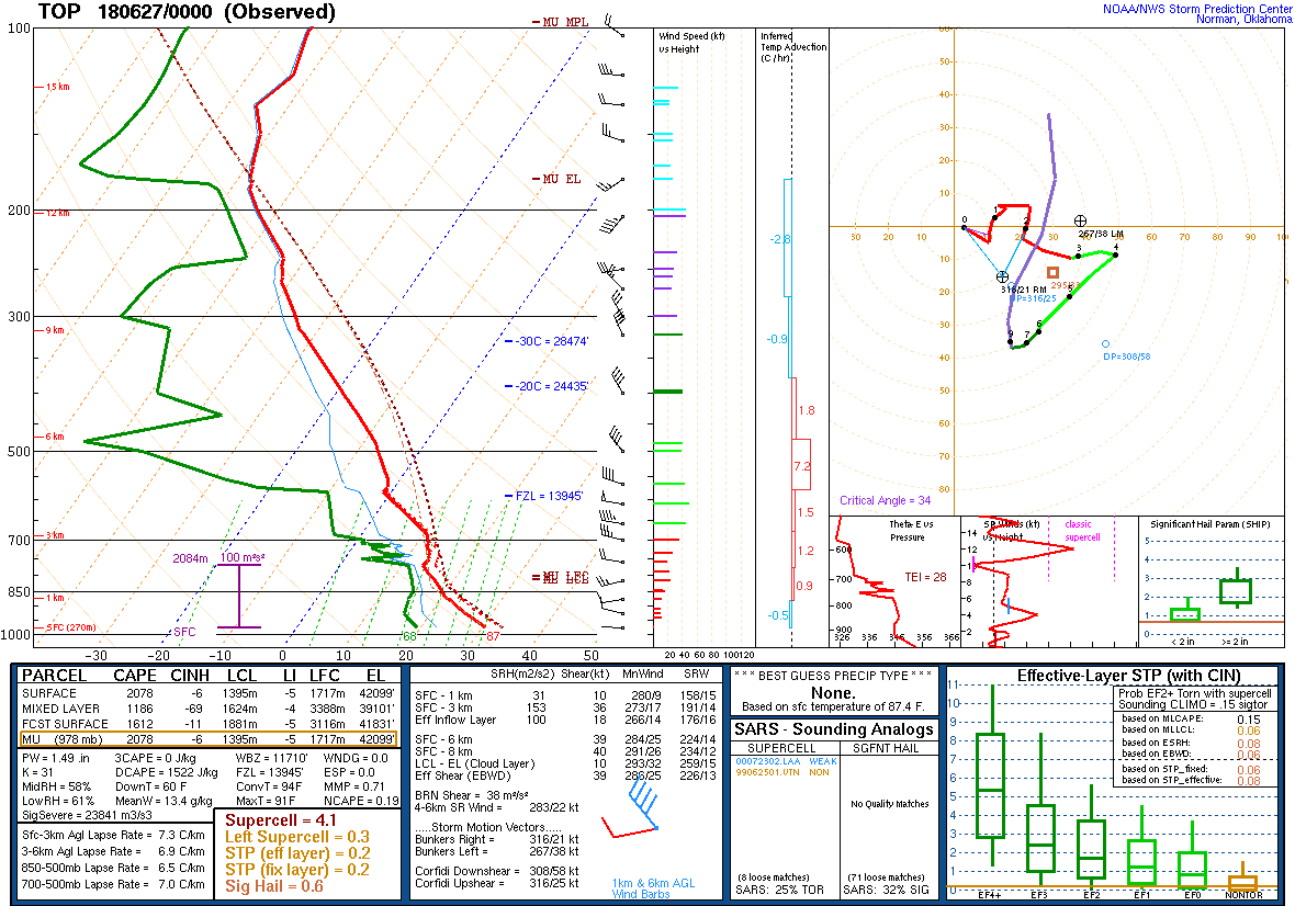
Atmospheric profile |
 |
Media use of NWS Web News Stories is encouraged! Please acknowledge the NWS as the source of any news information accessed from this site. |
 |