Overview
|
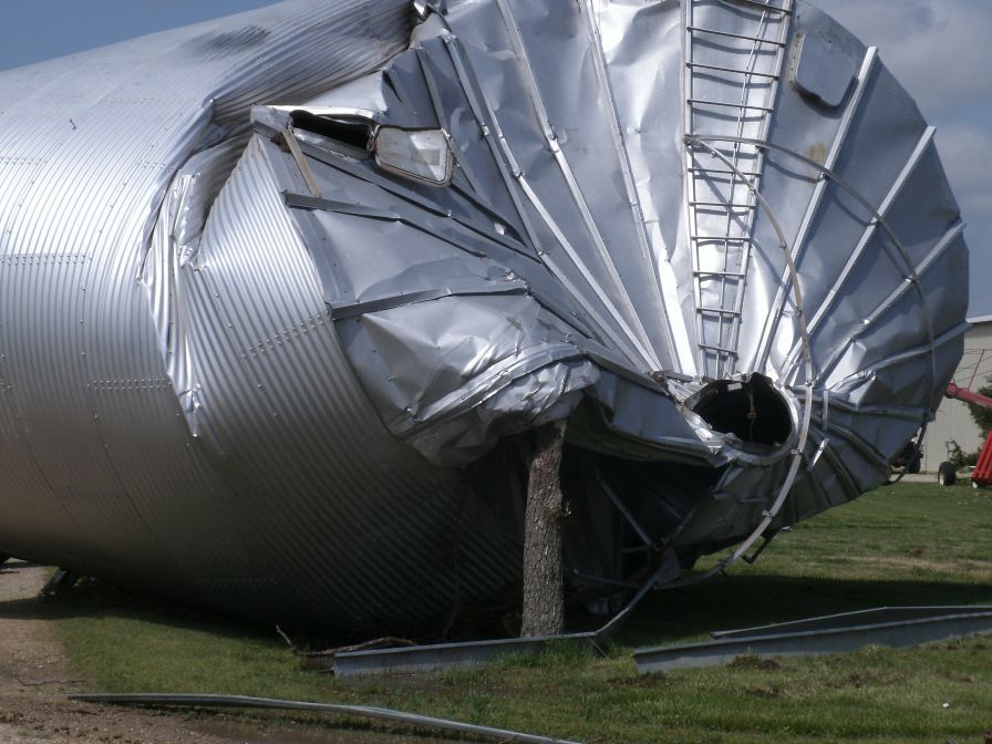
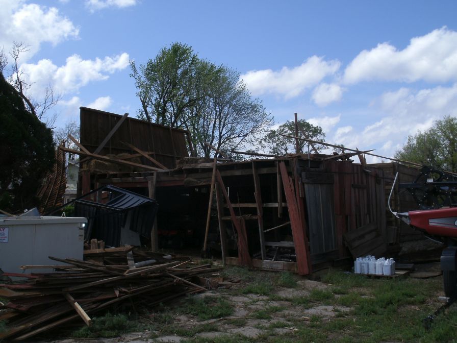
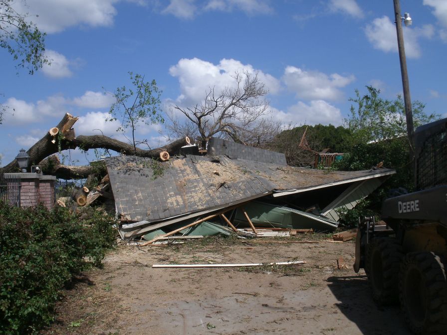
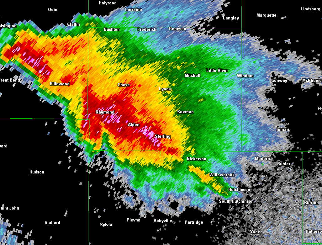
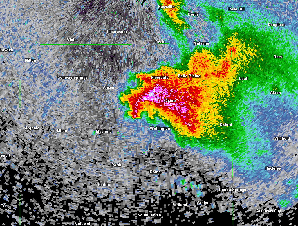
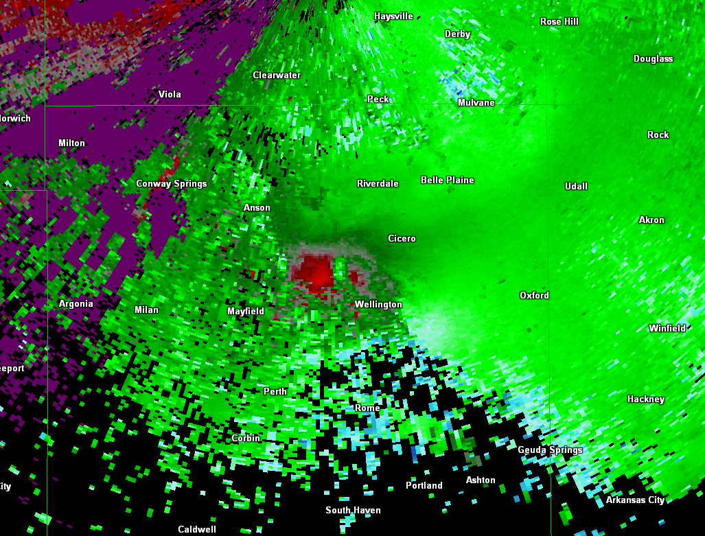
Storms developed during the early evening hours on Sunday May 5th over central Kansas. These storms slowly tracked southeast as sunset approached producing several brief tornadoes along with large hail. Some tornado damage was reported south of Ellinwood in southeast Barton county. A 2nd supercell developed later in Sumner county and also produced a few brief tornadoes along with some minor damage northwest of Wellington. |
Picture of developing tornado northwest of Wellington by Corey Inmon |
Tornadoes:
|
Tornado - 5 SSE of Ellinwood
 |
||||||||||||||||
|
Tornado - 4 S Alden
|
||||||||||||||||
|
Tornado - 3 SSW Nickerson
  |
||||||||||||||||
|
Tornado - 2 SSW South Hutchinson
|
||||||||||||||||
|
Tornado - 3 SSE South Hutchinson
|
||||||||||||||||
|
Tornado - 2 NW Wellington
|
||||||||||||||||
|
Tornado - 13 W Nickerson
|
||||||||||||||||
The Enhanced Fujita (EF) Scale classifies tornadoes into the following categories:
| EF0 Weak 65-85 mph |
EF1 Moderate 86-110 mph |
EF2 Significant 111-135 mph |
EF3 Severe 136-165 mph |
EF4 Extreme 166-200 mph |
EF5 Catastrophic 200+ mph |
 |
|||||
Photos & Video
 |
 |
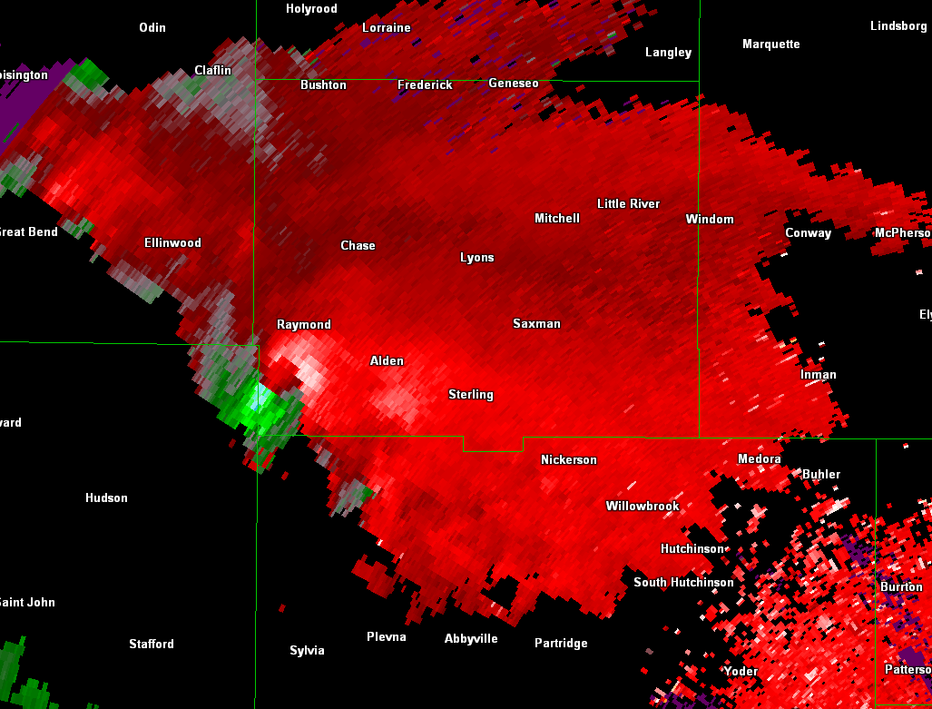 |
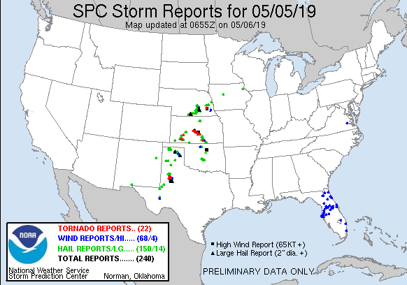
| Storm reports from May 5th | Radar image of the storm that produced a brief tornado over northwest Rice & southeast Barton county | Storm relative velocity image of the storm that produced a brief tornado over northwest Rice & southeast Barton county |
 |
 |
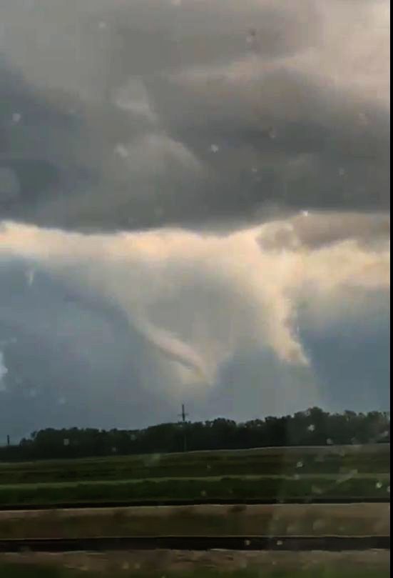 |
| Radar image of the storm that produced a brief tornado northwest of Wellington | Storm relative velocity image of the storm that produced a brief tornado northwest of Wellington | Picture of a developing tornado southwest of Ellinwood from Laura Mason |
|
|
|
|
|
|
|
|
|
 |
Media use of NWS Web News Stories is encouraged! Please acknowledge the NWS as the source of any news information accessed from this site. |
 |