|
Saipan Surf Zone Information (Click image for full size picture) See Also: Surf Criteria and Rip Current Risks |
|||||||||||||||||||||||||||||||
|---|---|---|---|---|---|---|---|---|---|---|---|---|---|---|---|---|---|---|---|---|---|---|---|---|---|---|---|---|---|---|---|
|
|
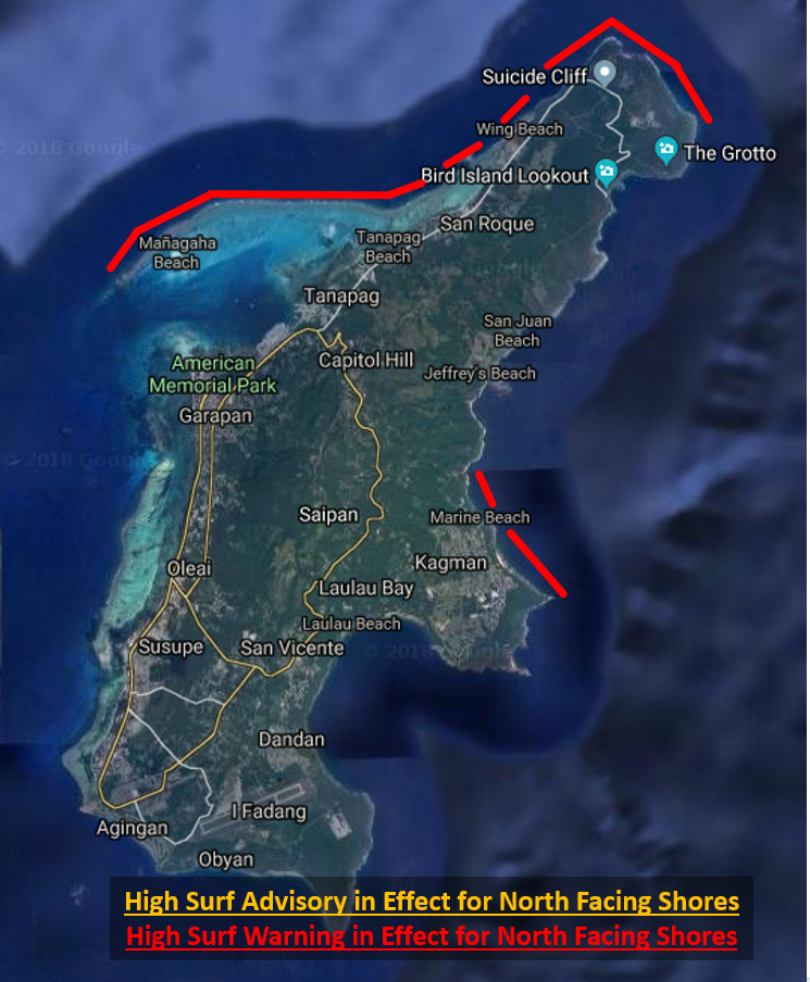
North Facing:
Tanapag Beach, Wing Beach Pau Pau Beach, Mañagaha
High Surf Advisory: Surf is 9 feet or greater High Surf Warning: Surf is 15 feet or greater |
||||||||||||||||||||||||||||||
|
|
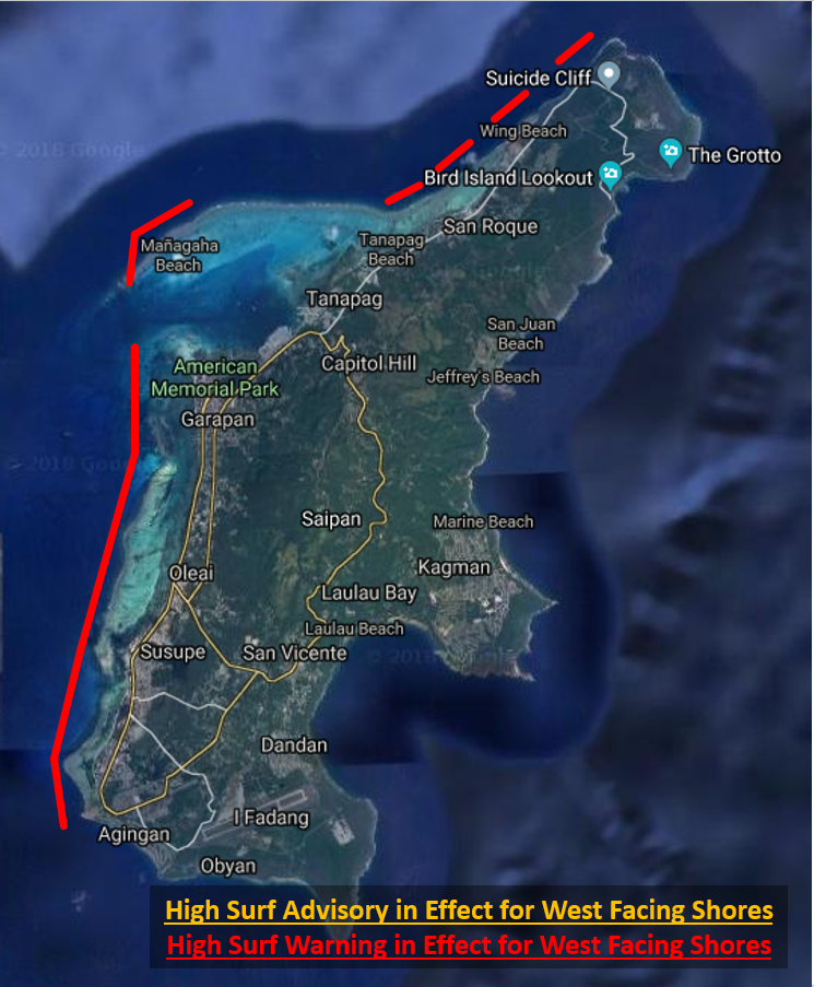
West Facing:
Micro Beach, Pacific Island Club, Saipan World Resort, Fiesta Resort Sugar Dock, Agingan Point, Wing Beach, Coral Ocean Point Tanapag Beach, Wing Beach, Pau Pau Beach, Mañagaha
High Surf Advisory: Surf is 9 feet or greater High Surf Warning: Surf is 15 feet or greater |
||||||||||||||||||||||||||||||
|
|
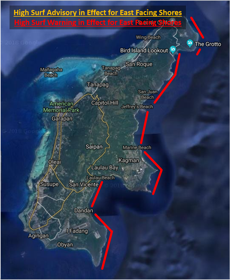
East Facing:
Tank Beach, Forbidden Island, Marine Beach Bird Island, San Juan Beach, Jeffrey's Beach Laulau Island
High Surf Advisory: Surf is 12 feet or greater High Surf Warning: Surf is 15 feet or greater |
||||||||||||||||||||||||||||||
|
|
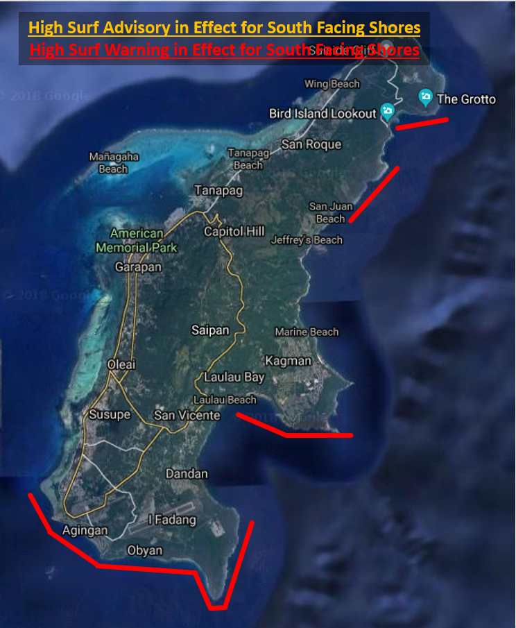
South Facing:
South: Obyan Beach, Ladder Beach, The Grotto
Southeast: Bird Island Reef, San Juan Beach, Jeffrey's Beach, Laulau Island, Coral Ocean Point
High Surf Advisory: Surf is 9 feet or greater High Surf Warning: Surf is 15 feet or greater |
||||||||||||||||||||||||||||||


 Public Forecast
 Marine Forecast
 Radar
Radar Satellite
 Area Forecast Discussion
.png) Active Tropical Cyclones
Active Tropical Cyclones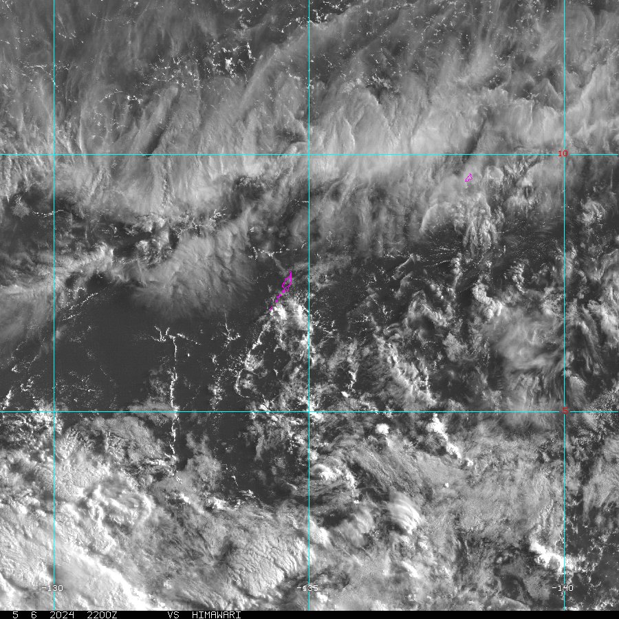 Palau Sector
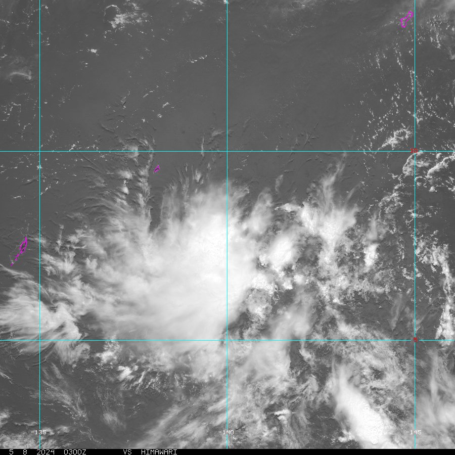 Yap Sector
 Marianas Sector
 Chuuk Sector
 Pohnpei/Kosrae Sector
 Marshall Islands Sector