**SEND US your winter weather reports**
|
|

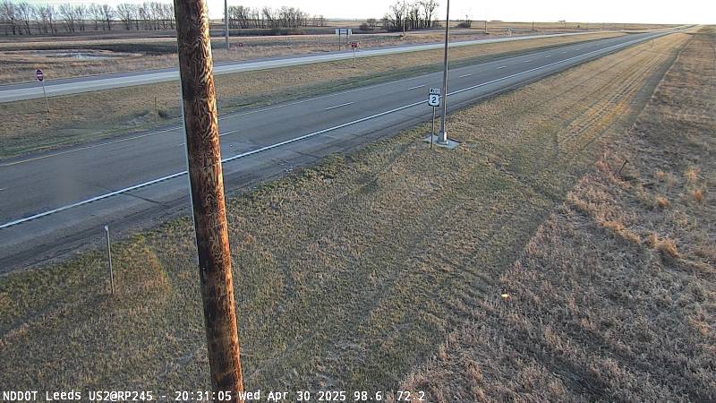
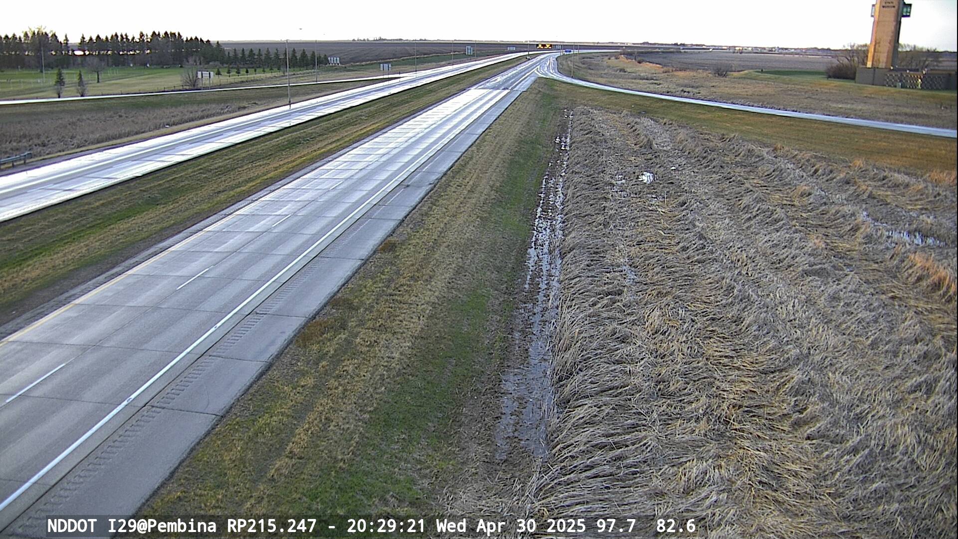
| WebCams | ||||||||||||||||||||||||||||||||
Note: The National Weather Service is not responsible for the content, timeliness, or reliability of these webcam images. These images are provided as an aid to evaluate snowfall and conditions at various locations across the local area. These images are provided as a courtesy of NDDOT and MNDOT. |
iiii
For Minnesota Plow Cams Click Here
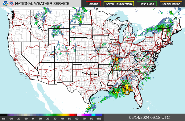
Road Conditions
Link: Interactive ArcGIS Online Road Condition Map
Minnesota: Mobile Version and Full-Featured Version
North Dakota: Mobile Version and Full-Featured Version
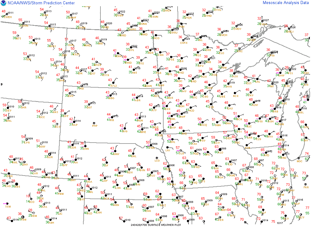
Link: Interactive Map
**For Text Version CLICK HERE**


Grand Forks NWS Facebook Feed