Grand Forks, ND
Weather Forecast Office
***Remaining ice may affect the wave height forecasts***
For an explanation on how to use this page click here
| Lake Wind/Wave Forecasts | ||
| Devils Lake | Red Lake | Lake of the Woods |
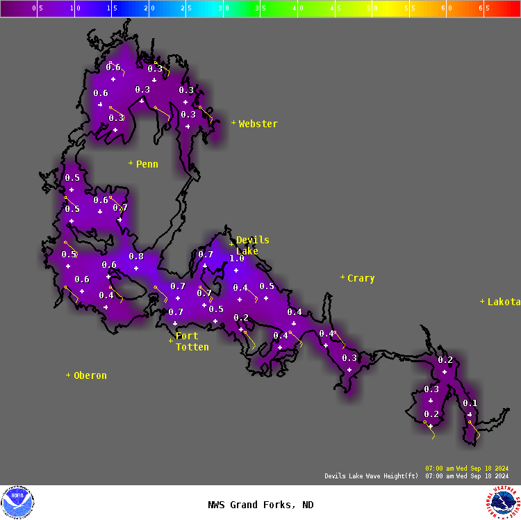 Click on image for 2 day forecast |
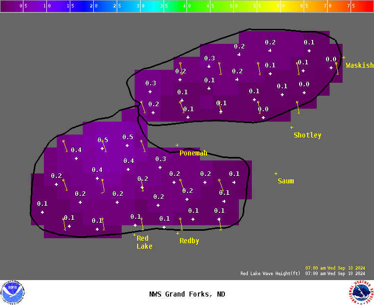 Click on image for 2 day forecast |
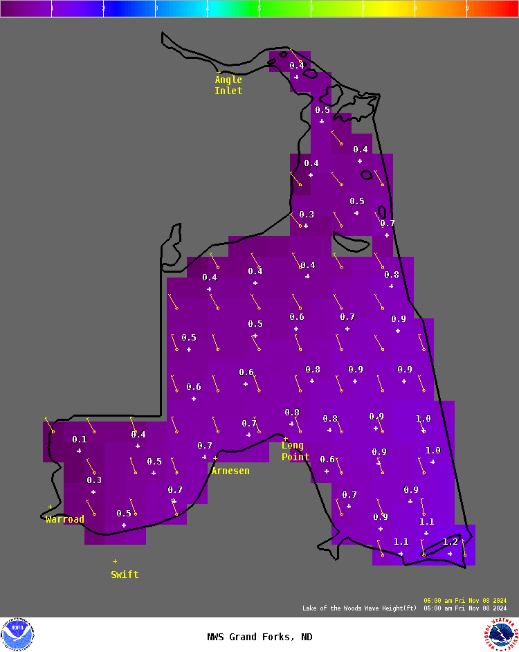 Click on image for 2 day forecast |
| Lake of the Woods Buoy | ||
Notice: Wave height forecasts represent the average of the highest one-third (33%) of waves (measured from trough to crest) that occur in a given period. Since the Significant Wave Height is an average of the largest waves, mariners should be aware that many individual waves will probably be higher.
US Dept of Commerce
National Oceanic and Atmospheric Administration
National Weather Service
Grand Forks, ND
4797 Technology Circle
Grand Forks, ND 58203-0600
701-772-0720
Comments? Questions? Please Contact Us.

