Grand Forks, ND
Weather Forecast Office
Overview
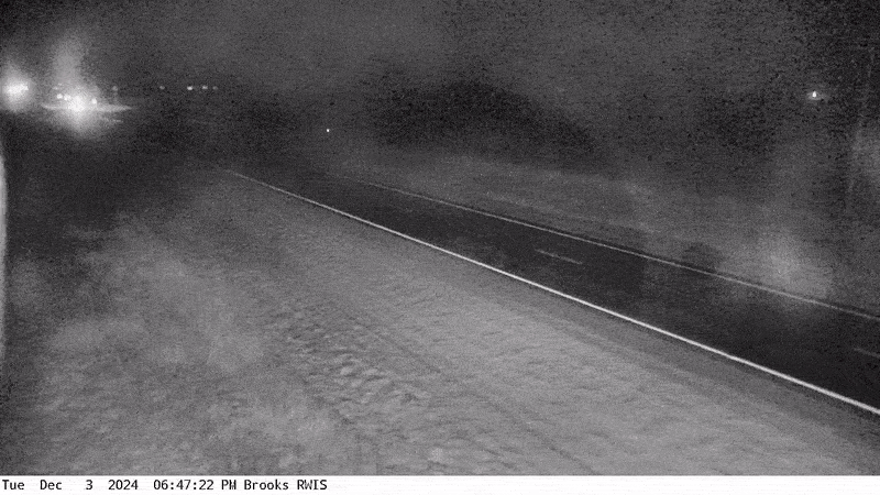
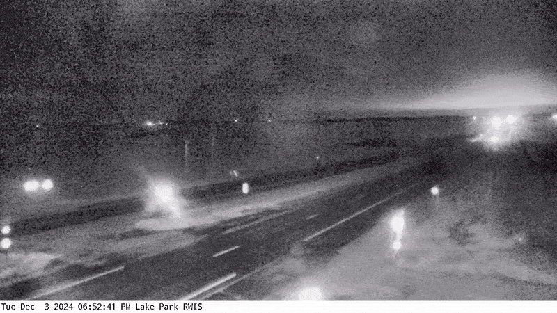
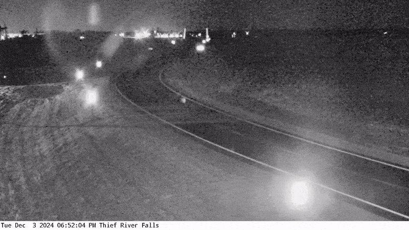
Significant blowing and drifting snow due to high winds and snow squalls caused impacts on 4 December, 2024. A strong arctic cold front dropped through the region during the early morning hours of 4 December. As the secondary cold front passed through during the morning rush hour, a snow squall traveled the length of the entire Red River Valley from north to south. Winds behind the front gusted up to 60 mph through the afternoon, resulting in widespread blowing snow. Horizontal Convective Rolls (HCR's) developed during the afternoon, resulting in localized blizzard conditions. The worst conditions were under these rolls, where falling snow combined with the blowing snow to significantly reduce visibility down to a quarter mile. Outside of these rolls, blowing snow still occurred, but conditions were much better. Conditions improved in the evening, with the last HCR's ending after sunset, and winds greatly diminishing.
Photos & Video
Header
 |
 |
 |
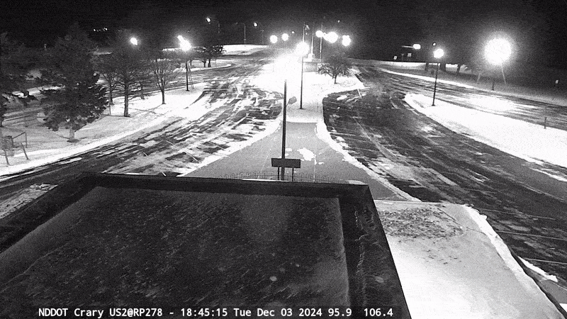 |
| MNDOT camera from Brooks | MNDOT camera from Lake Park | MNDOT camera from Thief River Falls | NDDOT camera from Crary Rest Area near Devils Lake |
 |
 |
 |
.gif) |
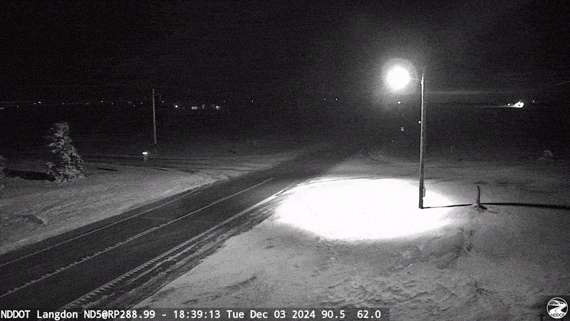
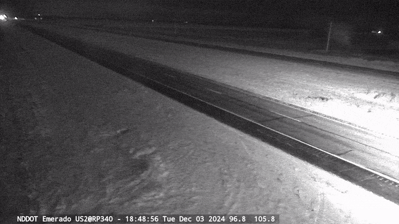
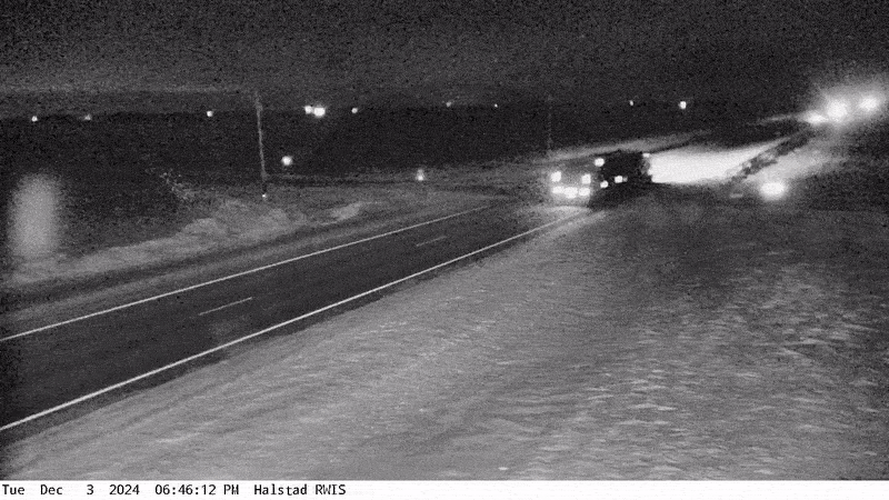
| NDDOT camera from Langdon area | NDDOT camera from Emerado | MNDOT camera from Halstad |
MNDOT camera from Barnesville |
.gif) |
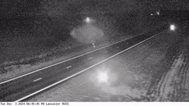 |
| MNDOT camera from St. Vincent | MNDOT camera from Lancaster |
Radar
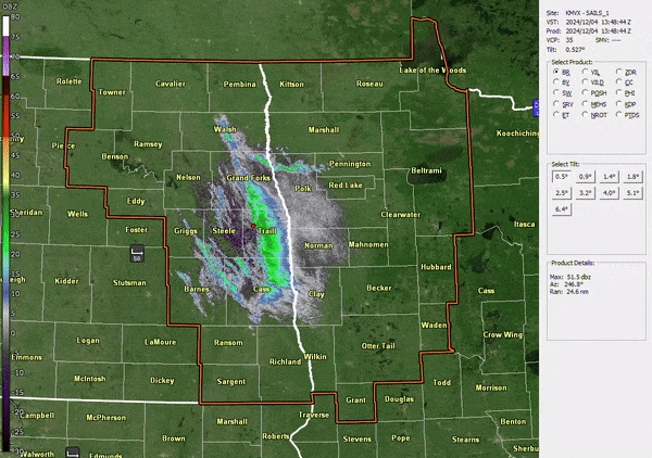 |
| Loop of the event from KMVX radar. Snow squall warnings are overlaid in the polygons. |
 |
Media use of NWS Web News Stories is encouraged! Please acknowledge the NWS as the source of any news information accessed from this site. |
|
US Dept of Commerce
National Oceanic and Atmospheric Administration
National Weather Service
Grand Forks, ND
4797 Technology Circle
Grand Forks, ND 58203-0600
701-772-0720
Comments? Questions? Please Contact Us.

