Cooper-Lake Mitchell-Hanover Tornado
National Weather Service Meteorologist made a few trips to the damage areas across Autauga, Chilton and Coosa Counties. The damage was consistent with a very large tornado with a long damage path. The tornado damage was rated an F2, but the strength of the tornado may have been stronger but the tornado affected mostly rural areas.
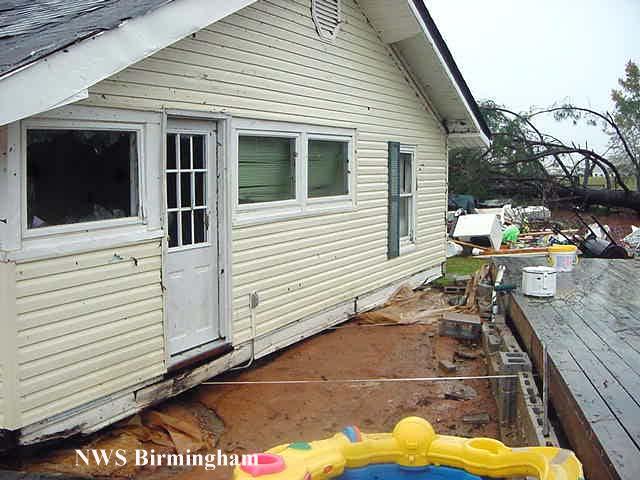
The F2 tornado first touched down between Jones and Bethel Grove generally producing only tree damage until it reached county line. The tornado then traveled on a northeast heading into southern Chilton County between Pletcher and Billingsley. The tornado was fairly weak at this time...blowing down and snapping off several large trees in rural areas. As the tornado approached the west side of Interstate 65, the tornado increased to F2 intensity and caused considerable damage to several structures.
Continuing northeast, the tornado weakened a bit as it crossed Interstate 65 in the vicinity of mile marker 202, approximately 3 miles south of the Clanton Exit. The tornado was still strong enough at this time to down several large trees and block the northbound lanes of traffic.
After crossing the Interstate, the tornado regained F2 intensity moving through the Cooper Community. The tornado produced extensive structural damage in Cooper. Several homes, businesses, mobile homes and out-buildings were damaged or destroyed. Hundreds of trees were blown down or snapped off in this area.
The tornado moved across eastern Chilton County and went across Lake Mitchell. At Lake Mitchell, on the Chilton/Coosa County Line, Numerous homes and mobile homes were destroyed generally between Blue Creek and Cargle Creek. The tornado crossed Lake Mitchell and moved into the Coosa Wildlife Management Area along Hatchet Creek. Hundreds of trees were splintered in this area. The tornado then moved through rural Coosa County crossing US 231 just south of the Hanover Community. The tornado dissipated shortly after US 231.
The tornado damage path was 49.1 miles long and an astounding 1400 yards wide at its widest point. No injuries or fatalities were reported with this strong tornado. The tornado was on the ground from 549 am CST until 646 am CST.
 |
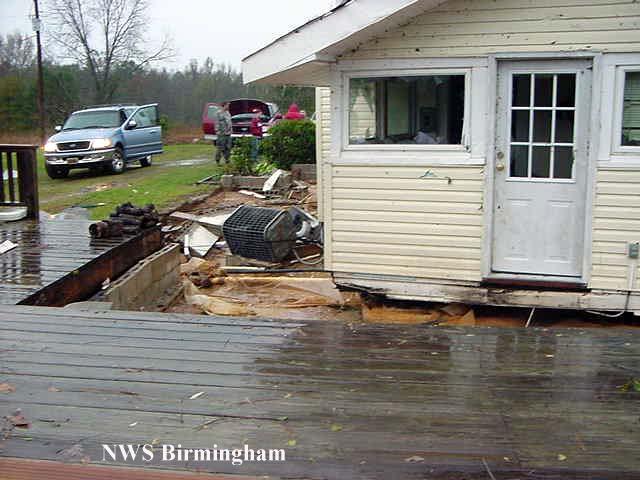 |
| House slid off its foundation in Southern Chilton County | Another view of the house, slid off its foundation |
 |
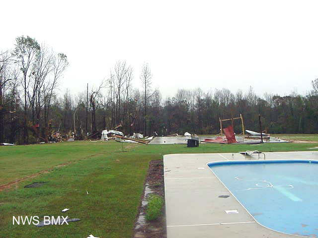 |
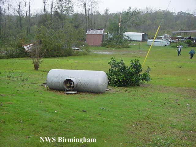
| Propane tank tossed into a field, near same location as house above. | Debris scattered across a yard in Southeast Chilton County. |
 |
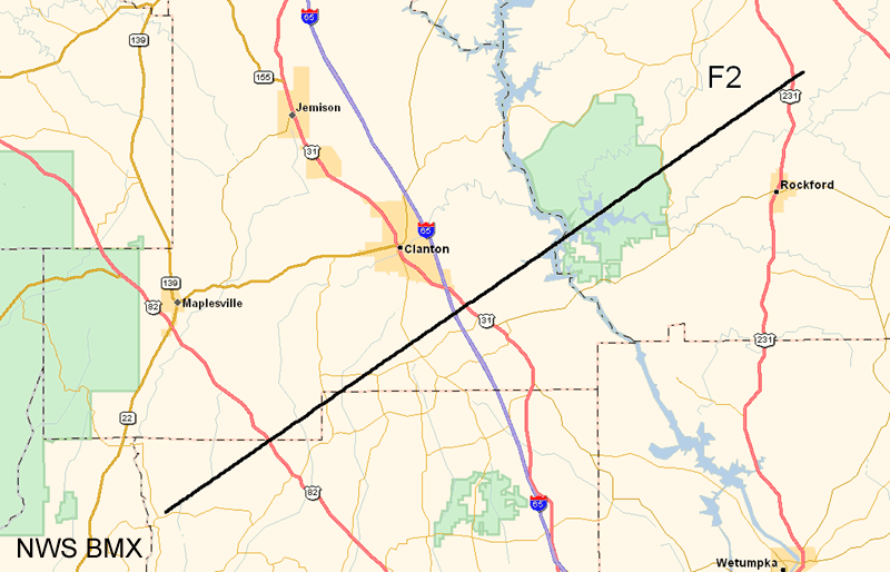 |
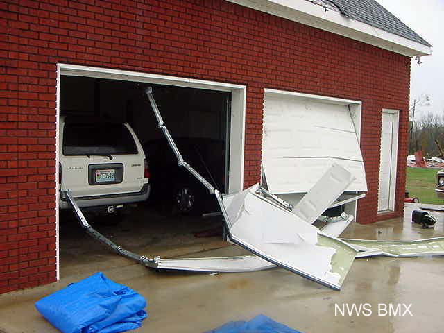
| Damage to a garage in Southeast Chilton County | Map of damage path of Cooper Tornado. |