|
|
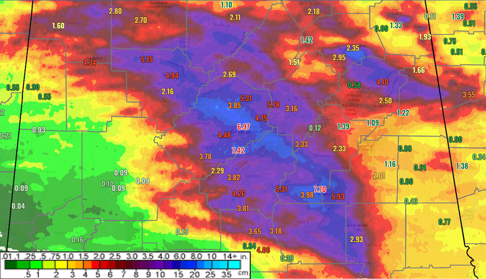
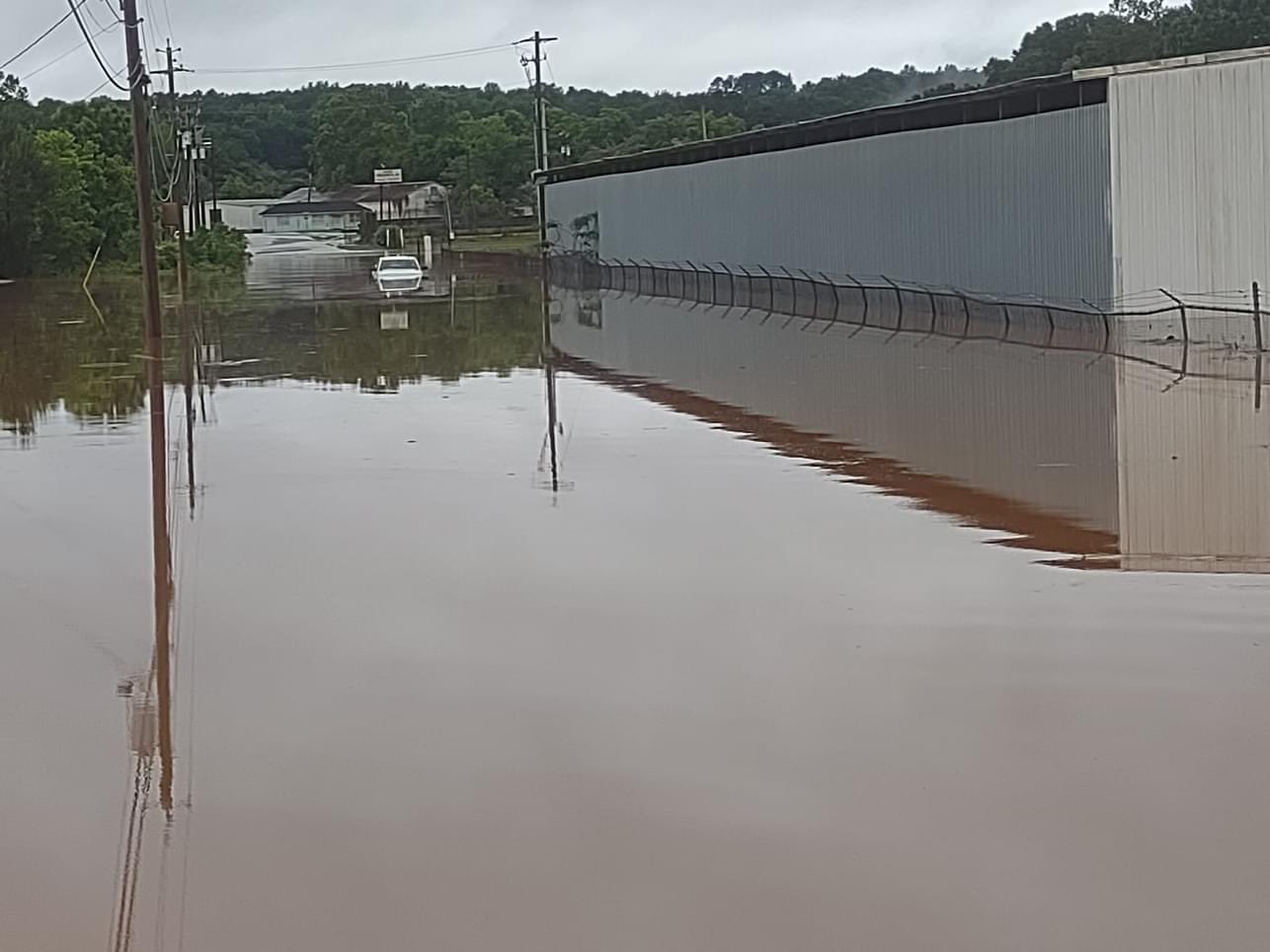
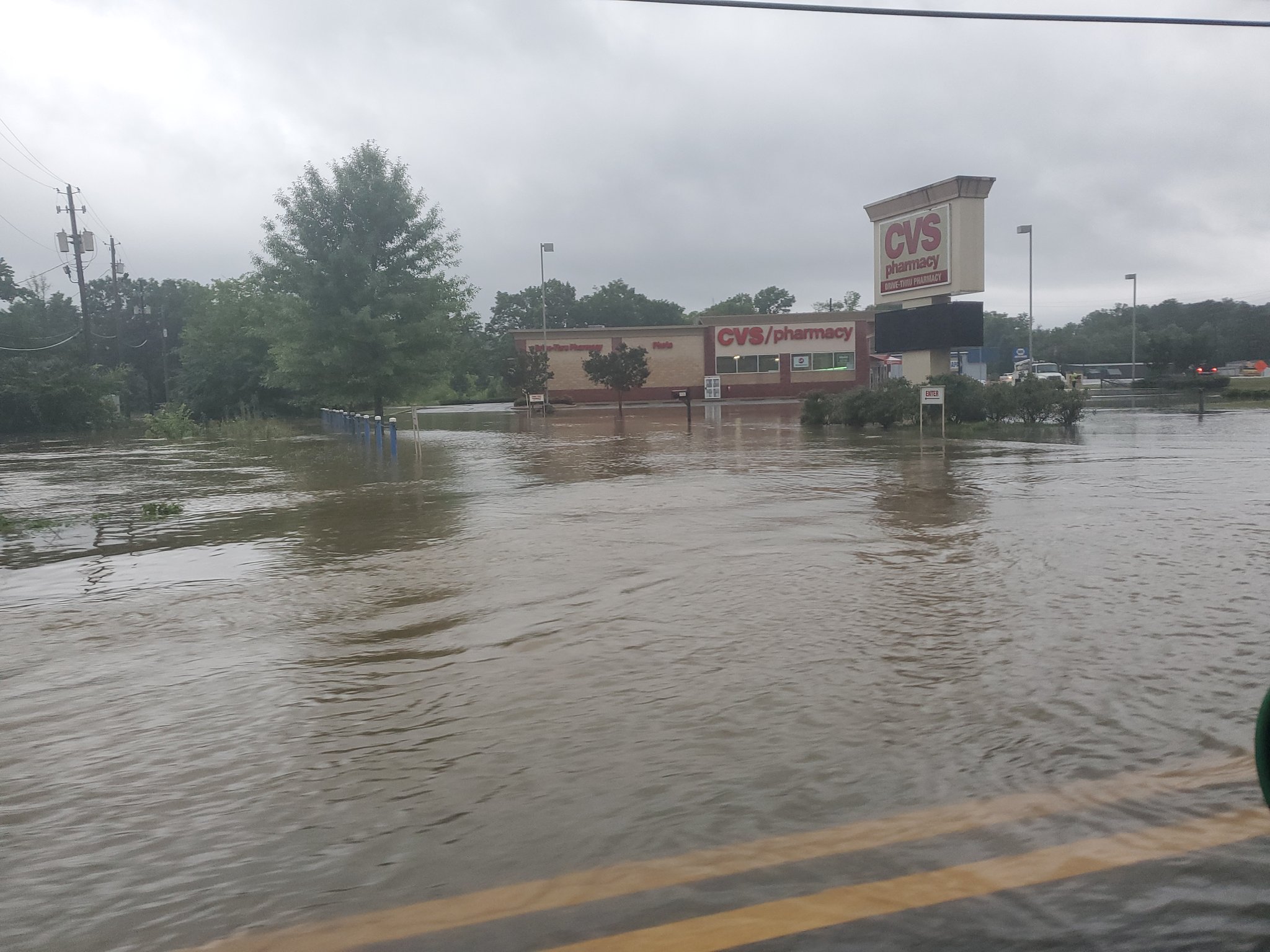
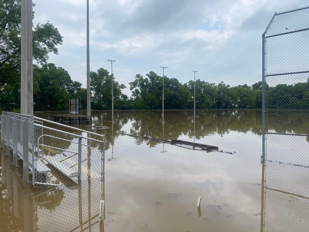
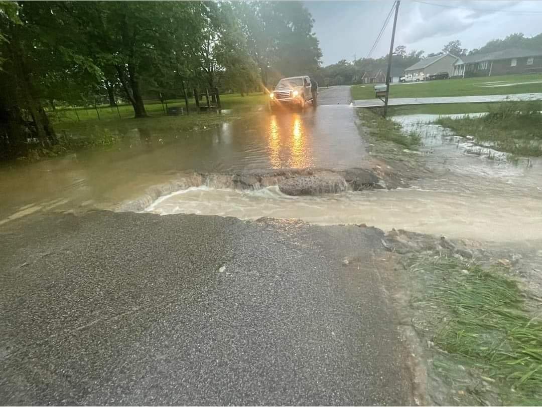
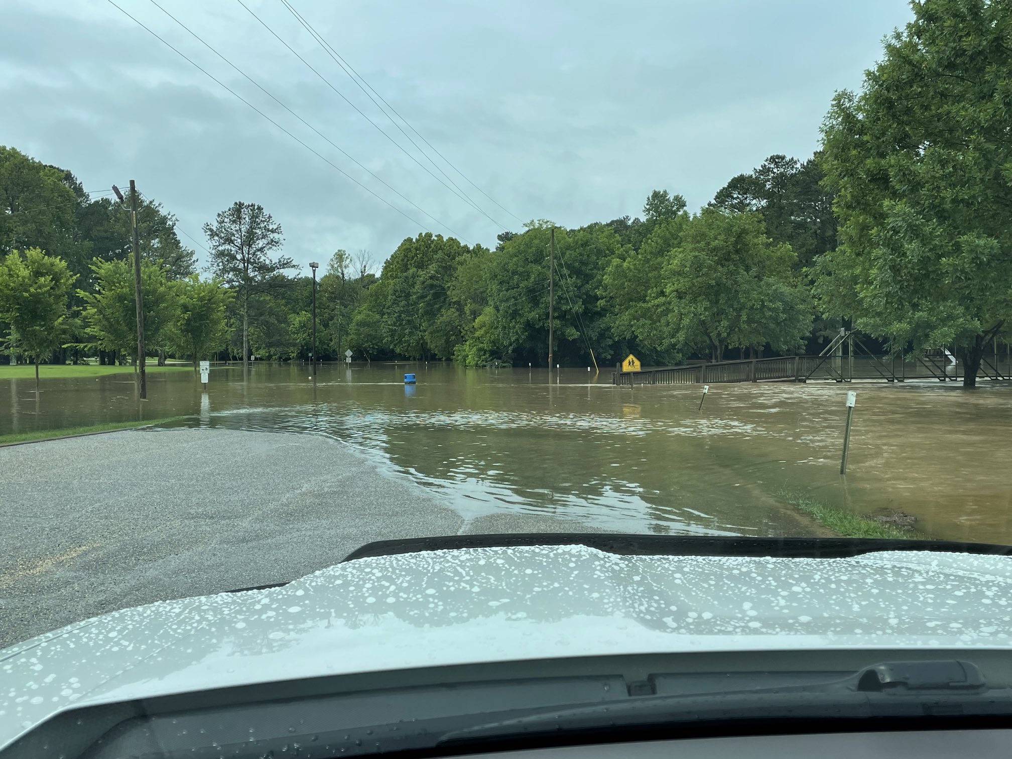
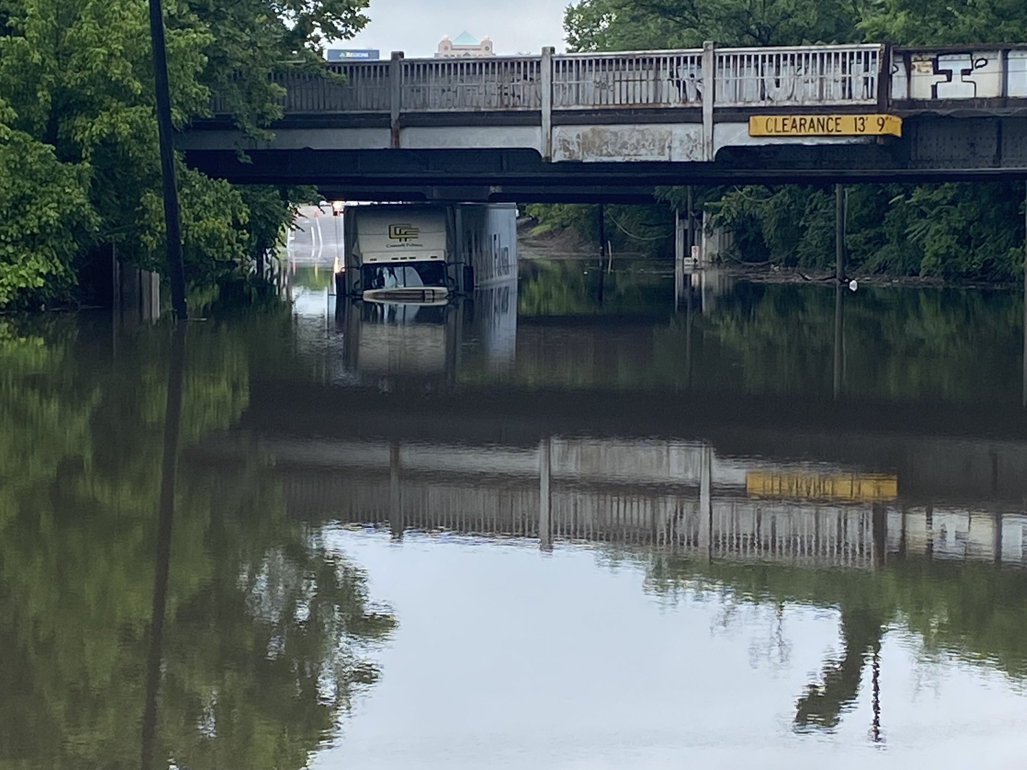
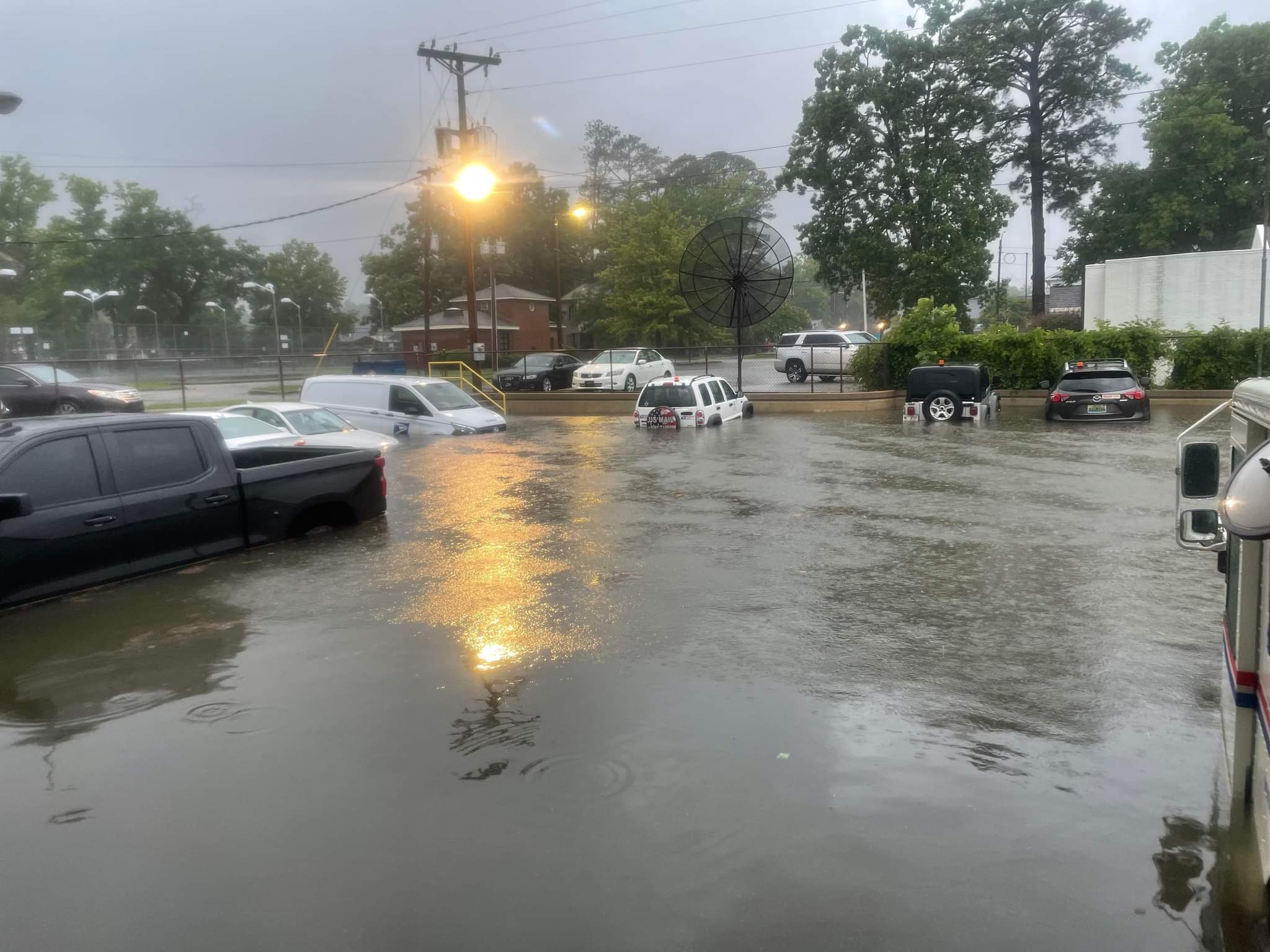
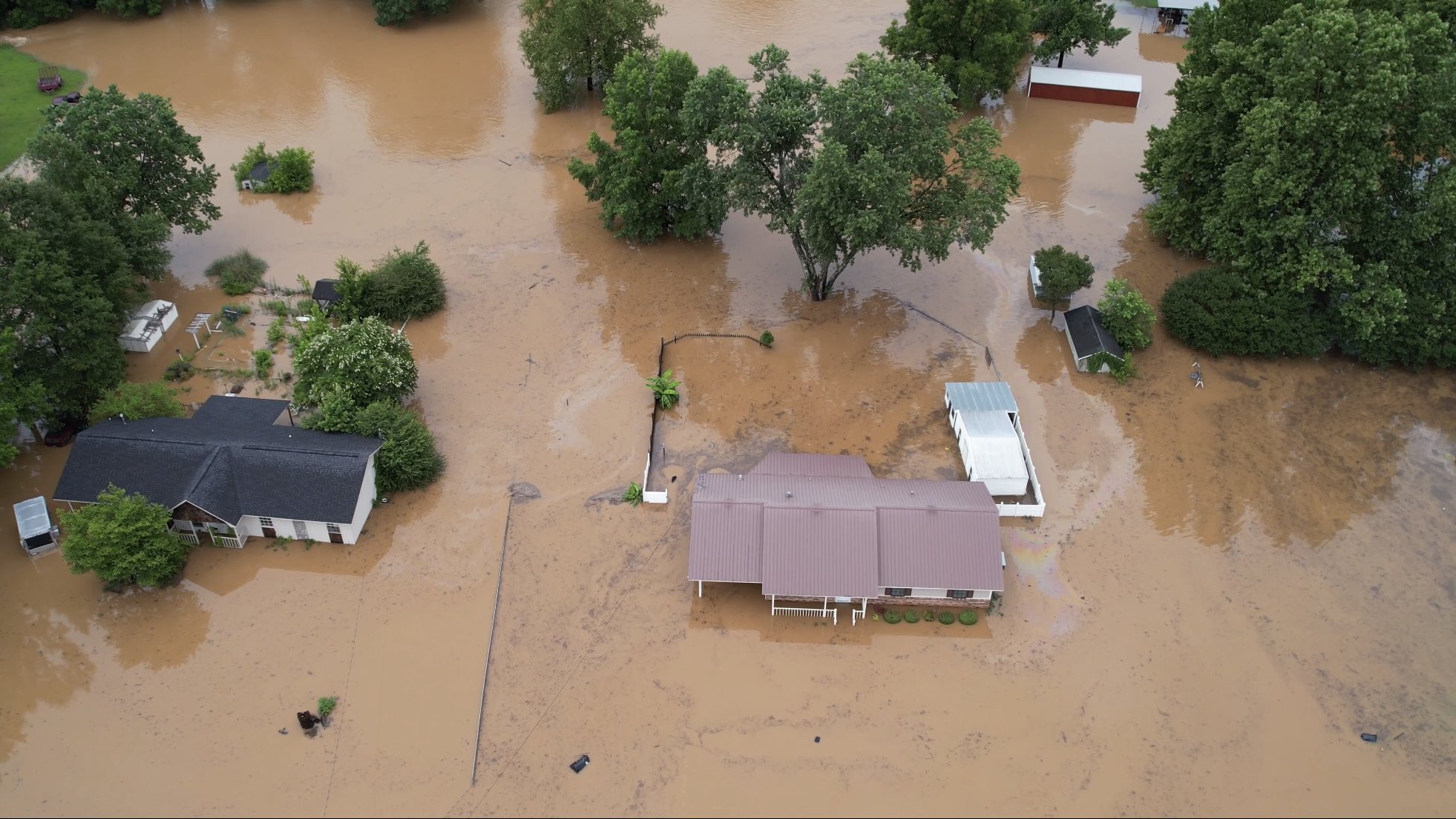
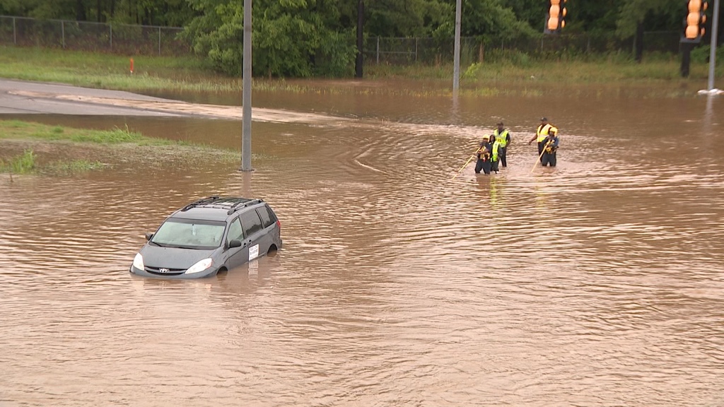
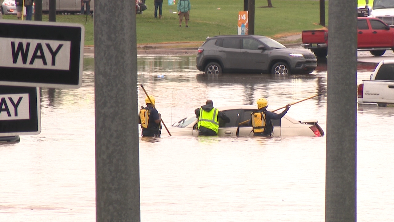
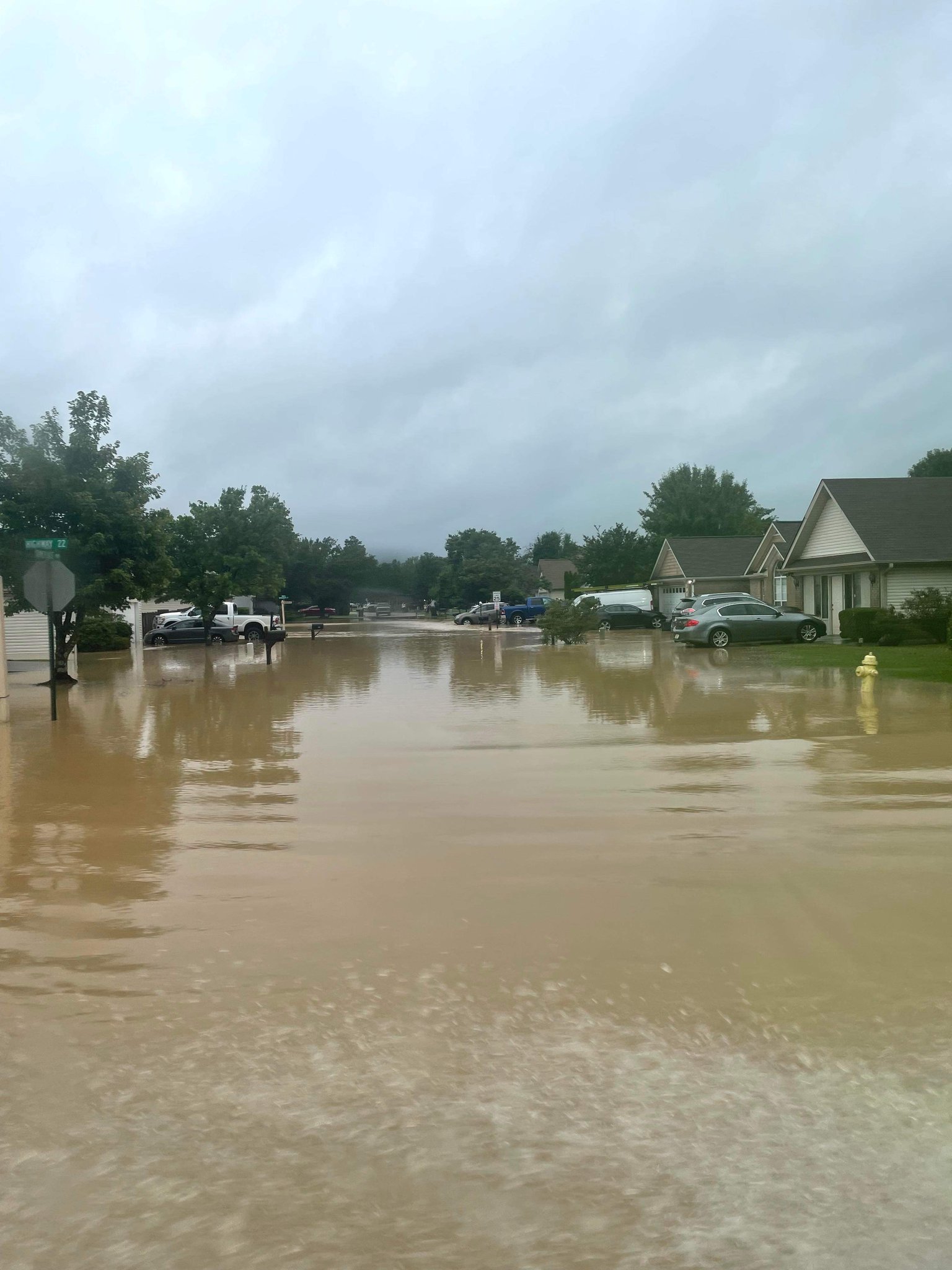
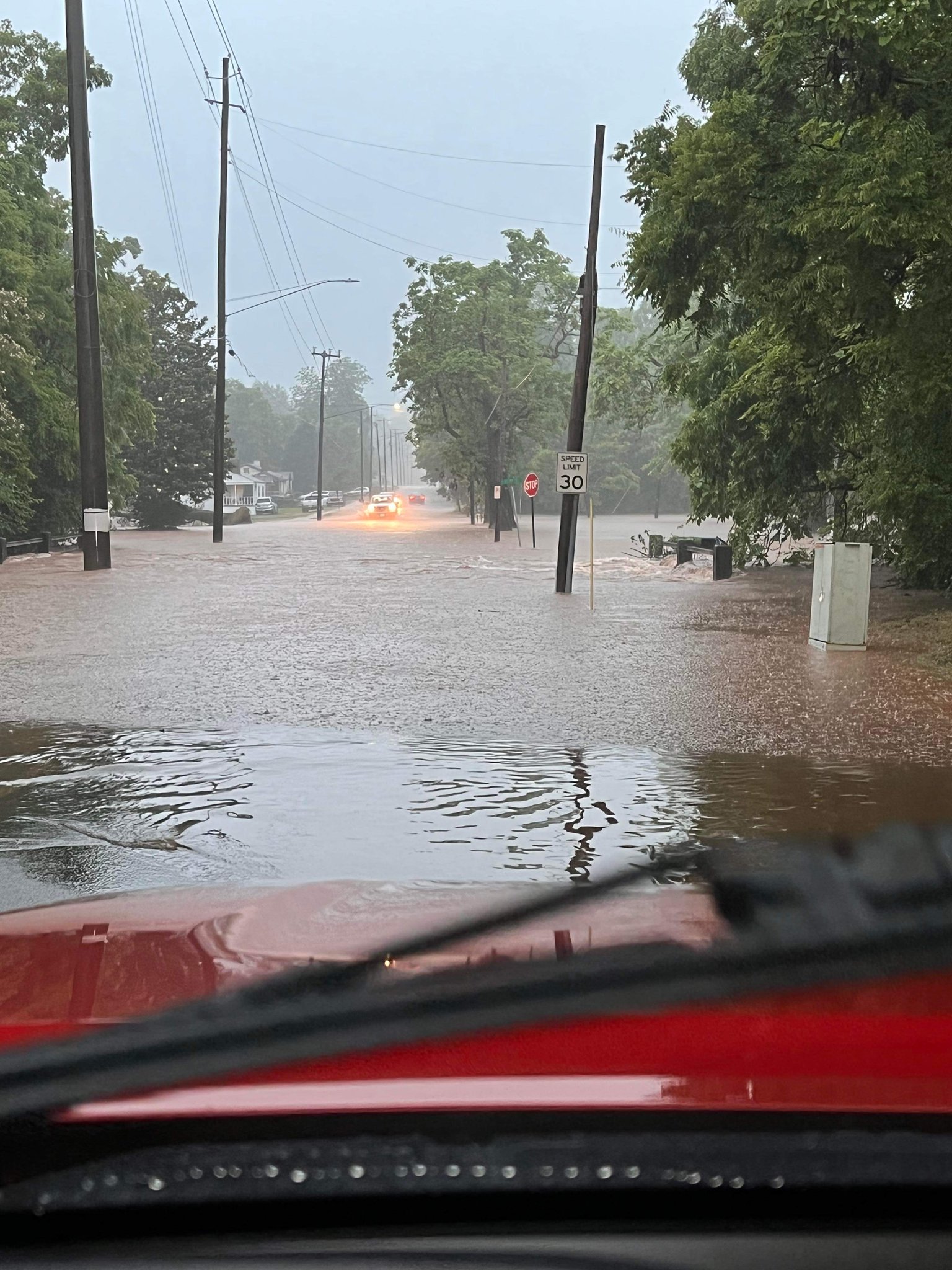
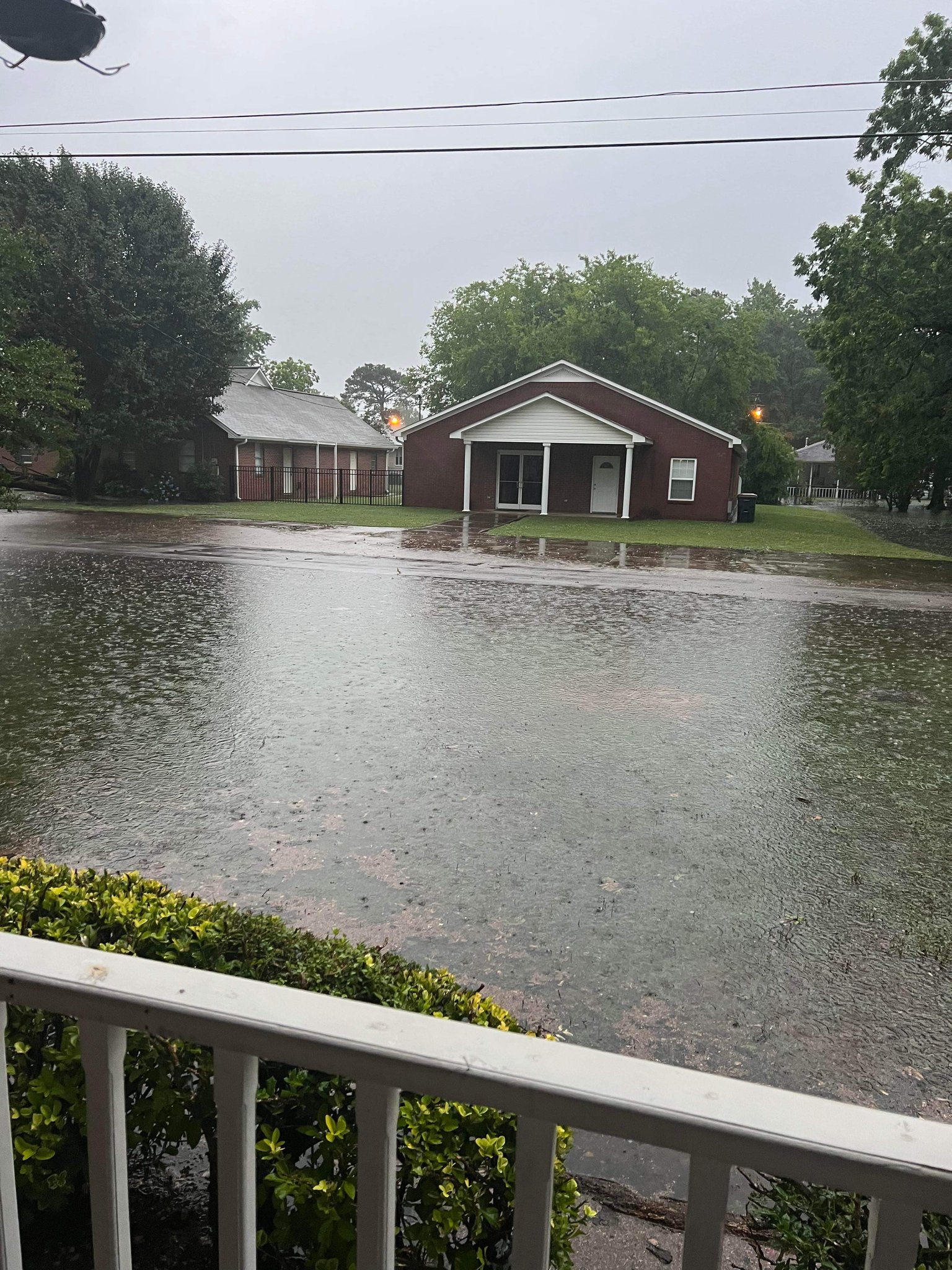
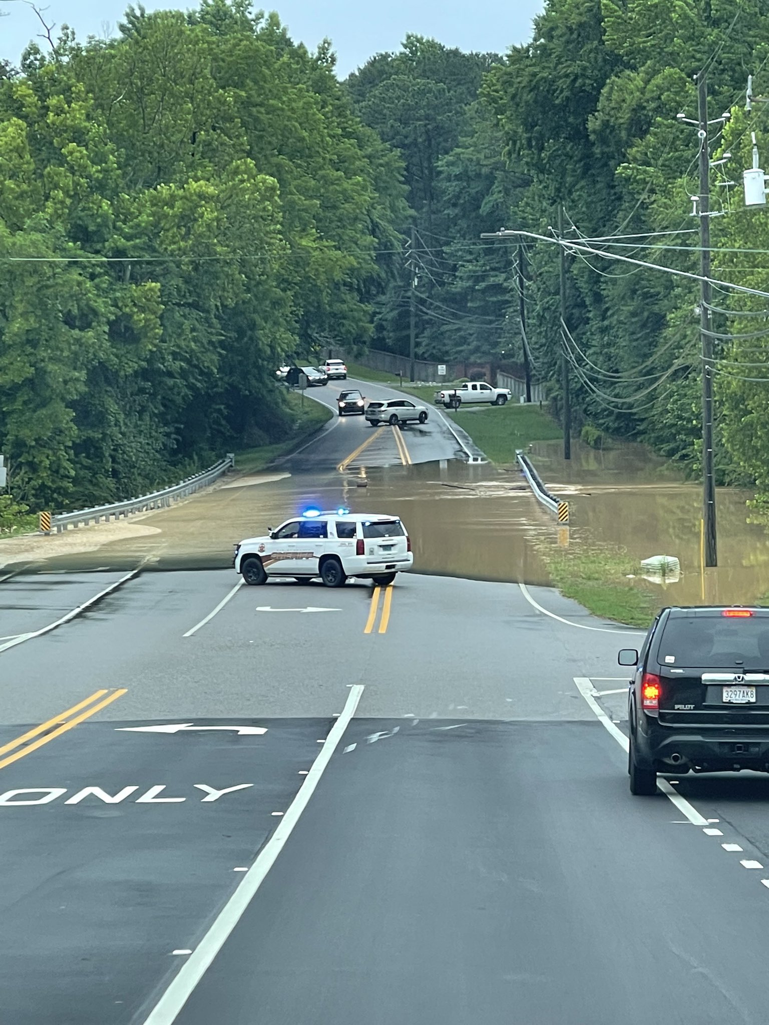
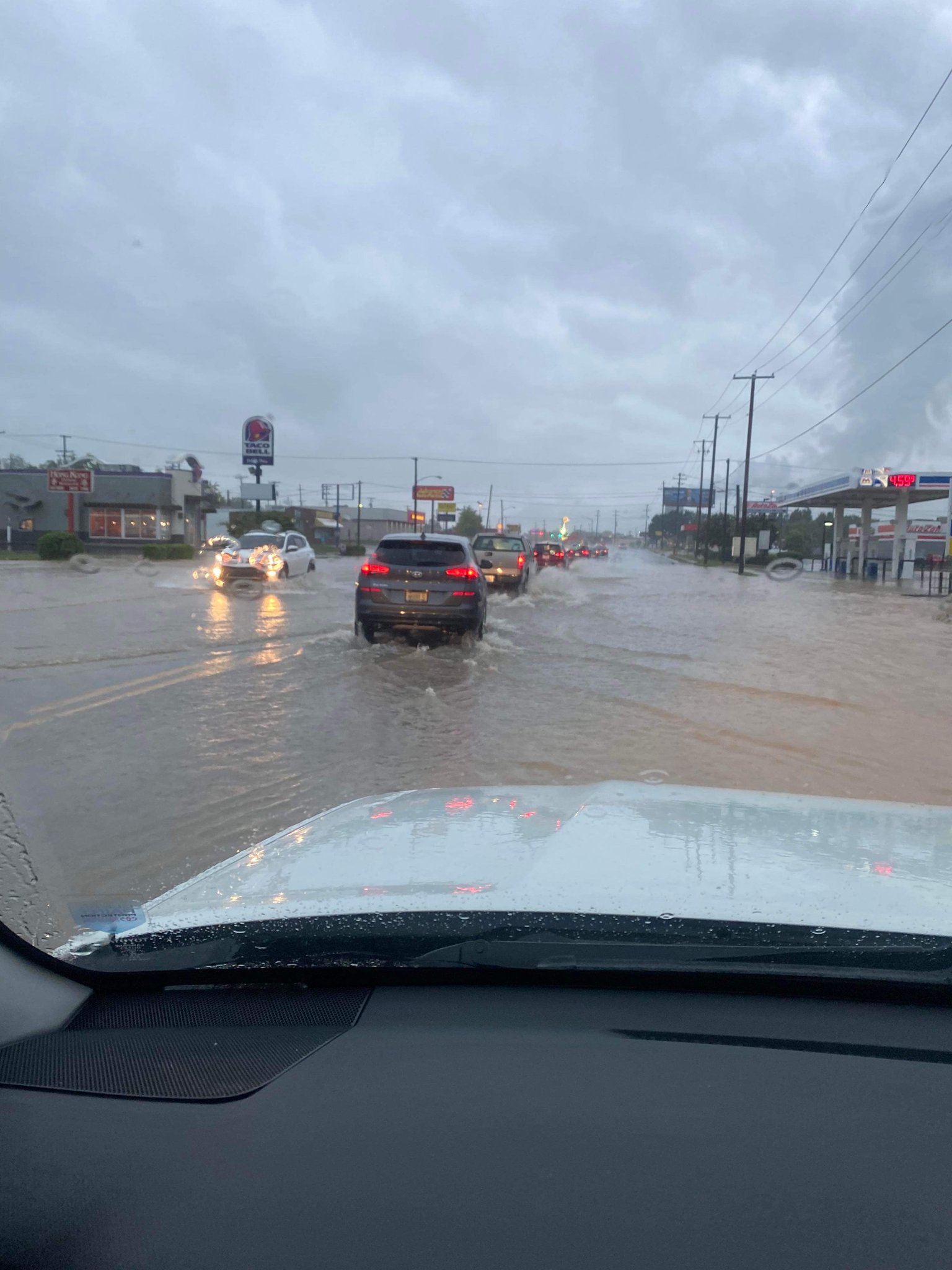
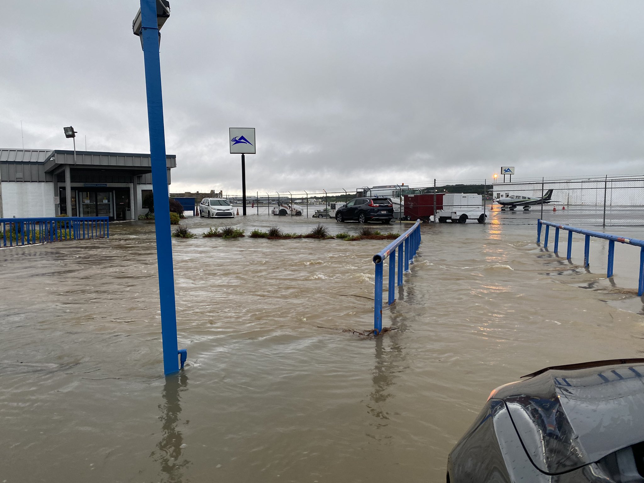
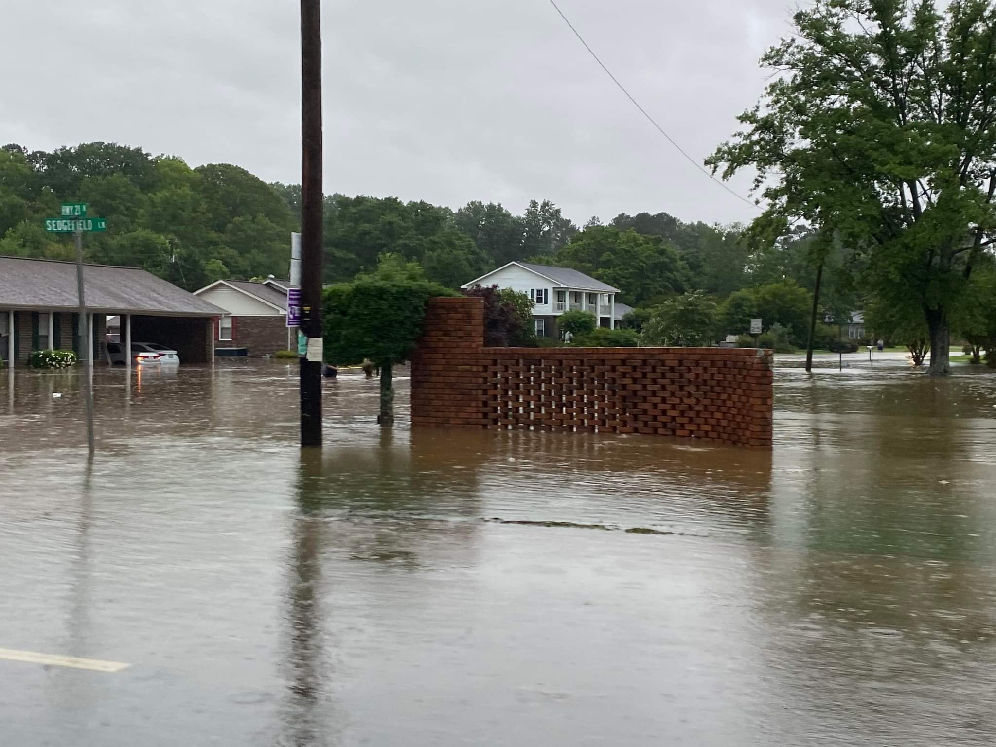
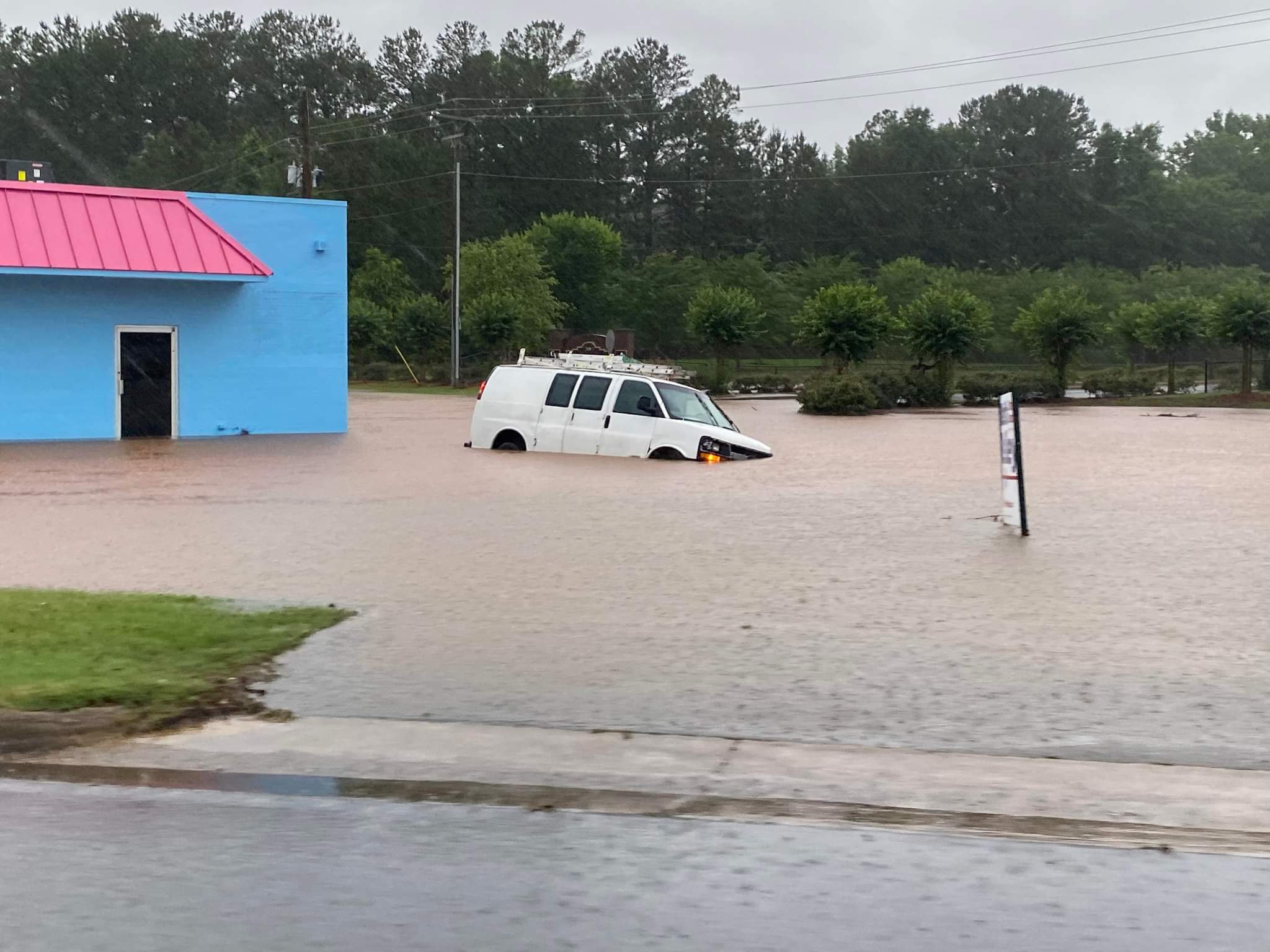
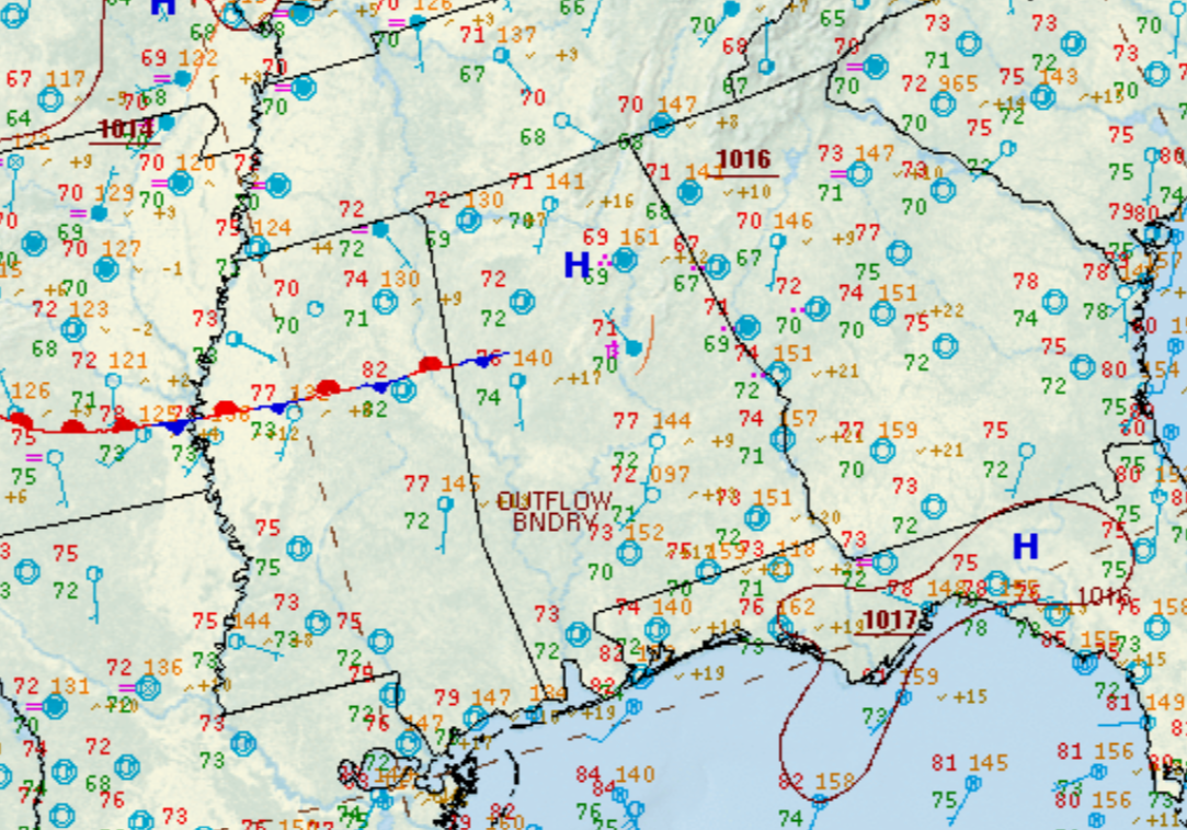
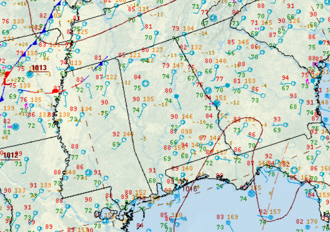
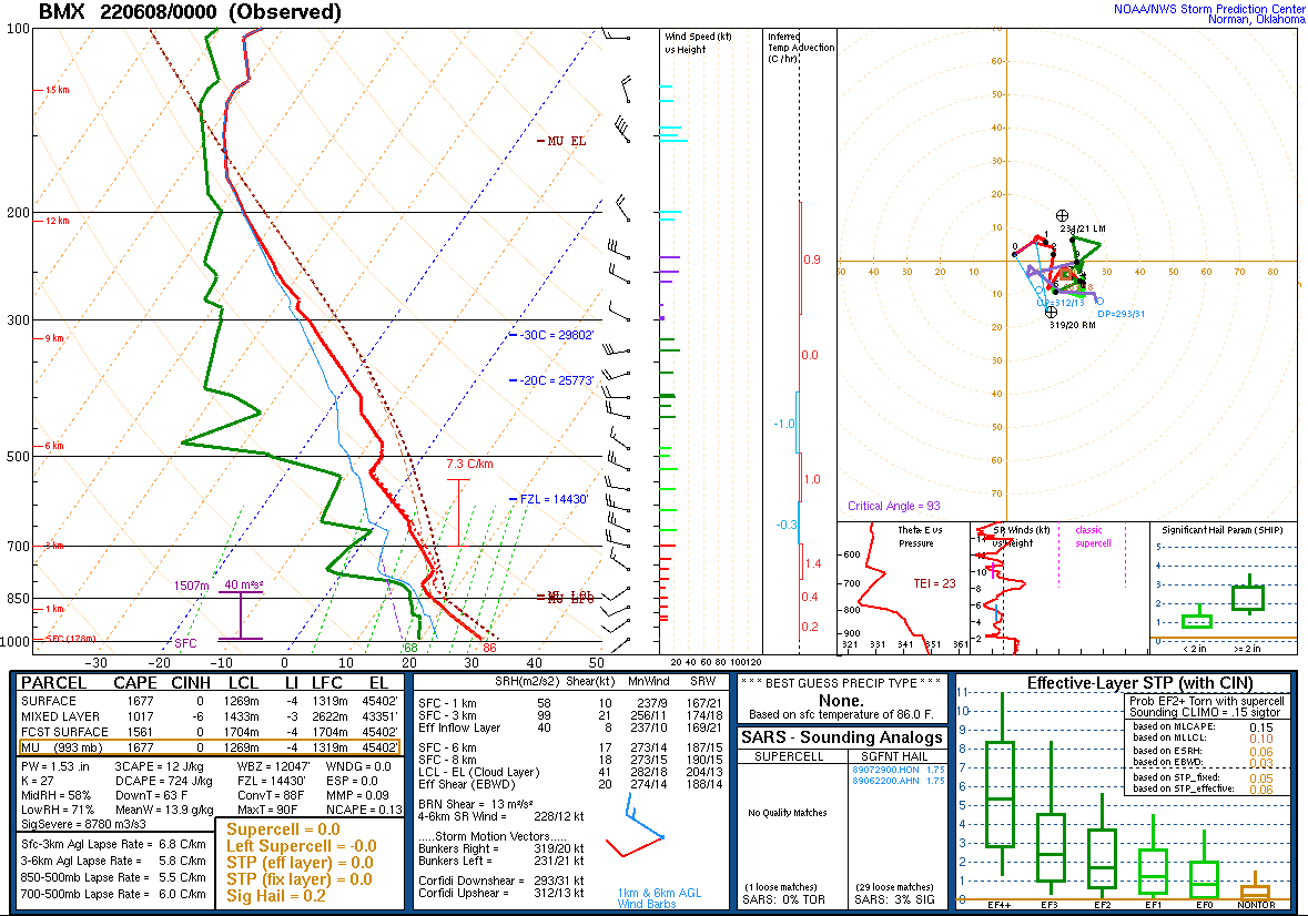
Several rounds of showers and thunderstorms occurred across Central Alabama from the afternoon of June 7th through the evening of June 8th. These showers and thunderstorms were a result of a moist and unstable airmass, as well as from various upper-level disturbances travelling near a slow moving surface front. Some storms were strong to severe at times with damaging wind gusts, as well as large hail. Many of these thunderstorms went on to evolve into clusters that were slow moving, or nearly stationary at times. The slow moving or "training" nature of these thunderstorms, and the torrential rainfall rates, led to locally heavy rainfall. Some areas received several inches of rainfall in a very short period of time (6 hours or less). This led to flash flooding, which became significant in areas of Etowah County, such as Gadsden and Glencoe, on the evening of June 7th. Additional flash flooding occurred across portions of Jefferson, Shelby, and Talladega Counties during the early morning hours of June 8th. Slow moving thunderstorms dumped upwards of 6" of rain which led to significant flash flooding in areas such as Birmingham and Sylacauga. Some additional flash flooding occurred on the evening of June 8th across portions of Birmingham. In total, the Birmingham International Airport measured 6.97" of rainfall on June 8th, breaking the daily rainfall record and placing this as the 6th highest daily rainfall ever recorded at Birmingham. |
|
|
|
|
|
|
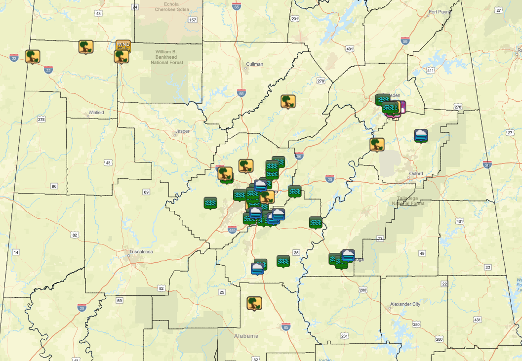
| Click on the map below for an interactive map. |
|
|
|
|
|
|
|
|
|
|
|
|
|
|
|
|
|
|
|
|
|
|
|
|
|
|
|
|
|
|
|
|
|
|
|
|
|
|
|
|
|
|
|
|
|
|
|
|
|
|
|
|