First Central Alabama Tornadoes
of 2004
A squall line moved across Central Alabama during the early morning hours on Memorial Day, May 31st. The squall line mainly produced straight line wind damage, as several trees were blown down in Central Alabama. At the apex of the bowing squall line, two weak tornadoes produced concentrated damage in Hueytown and in Bluff Park/Hoover.
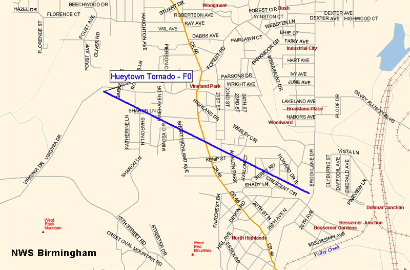
An F0 tornado touched down just east of Virginia Drive and traveled east southeast across the southern part of Hueytown. The tornado crossed Hueytown Road and ended just west of Brookline Drive. At least 20 homes were damaged by falling trees, and 6 suffered major damage. Numerous trees were downed along the path. The tornado began at 422 am and ended at 423 am. The path length was 1.70 miles long and was 150 yards wide at its widest point. No injuries were reported.
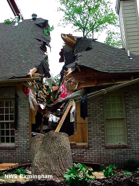
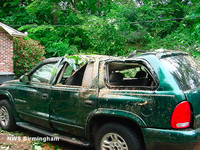
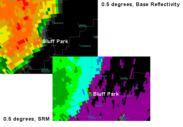
Another F0 tornado began near the crest of Shades Mountain in Bluff Park. This tornado also traveled east southeast, through Bluff Park, and ended near Rocky Ridge Road just east of Interstate 65. At least 73 homes were damaged, mainly by falling trees. At least 5 homes suffered major damage. Several automobiles were destroyed by the falling trees. Several businesses on US 31 and on Lorna Road sustained varying degrees of roof damage. Numerous trees were knocked down along the path. The tornado began at 429 am and ended at 433 am. The path length was 4.24 miles long and was 150 yards wide at its widest point. No injuries were reported.
A Tornado Watch was in effect for all of Central Alabama from 915 pm May 30 until 900 am May 31. A Severe Thunderstorm Warning was in effect for Jefferson County from 402 am until 500 am.
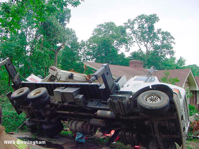
All damage photos below were taken in the Bluff Park/Hoover area of Jefferson County. Thumbnails link to full-sized images.
 |
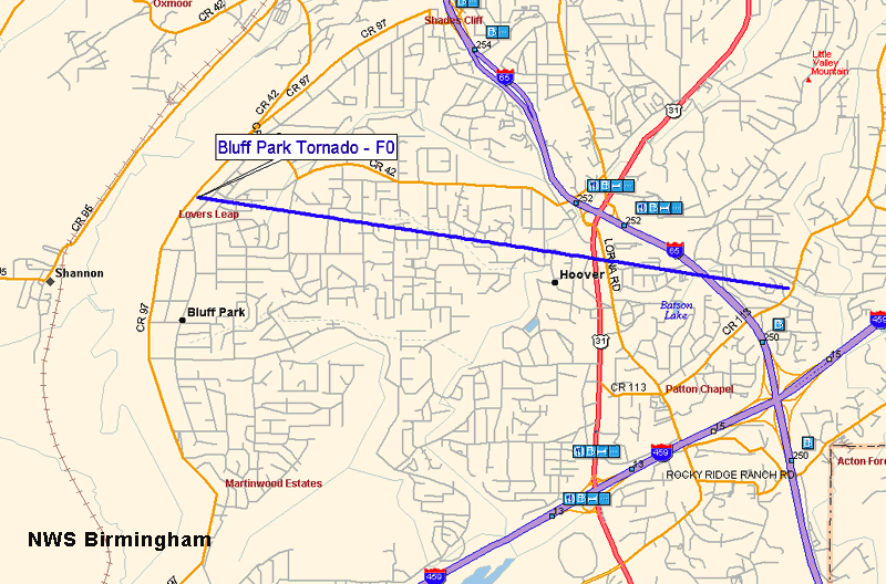 |
| Damage path of Hueytown Tornado | Damage path of Bluff Park Tornado |
 |
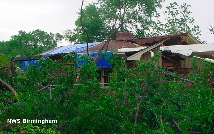 |
| Crane doing cleanup work, overturned | Trees down in Bluff Park |
 |
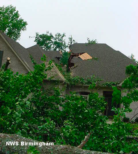 |
| Large tree sliced through this house | Wide view of tree damaged house |
 |
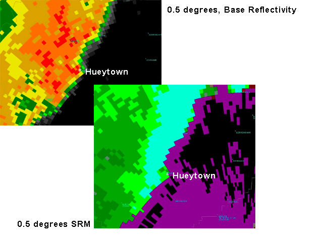 |
| Mud and tree damage on a vehicle | Radar images for Hueytown Tornado |
 |
|
| Radar images for Bluff Park Tornado |