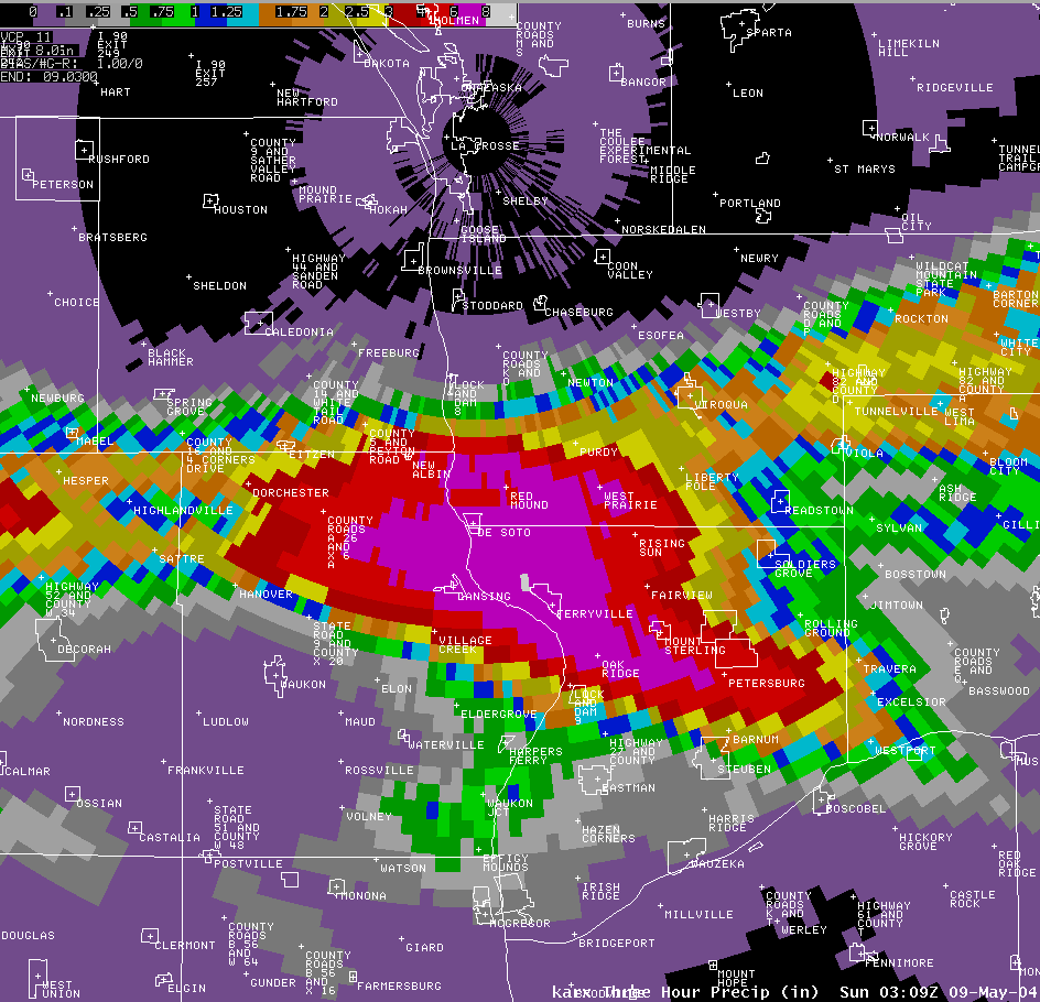
During the evening hours of Saturday May 8th, several Severe Thunderstorms tracked over extreme northeast Iowa and southwest Wisconsin producing large hail and very heavy rainfalls.
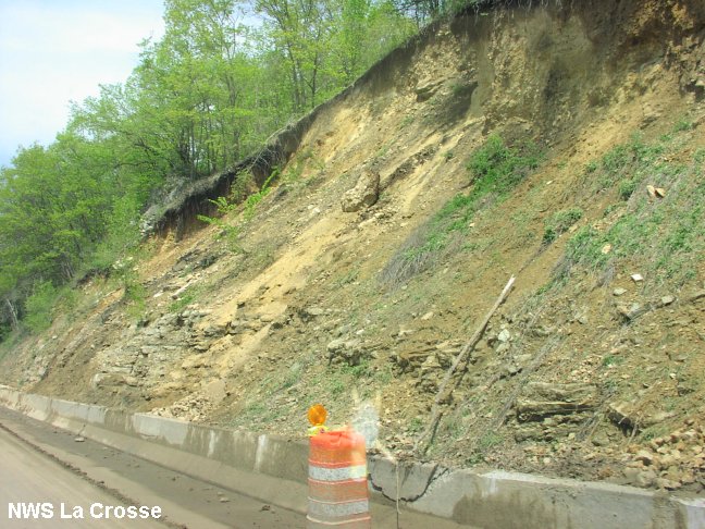
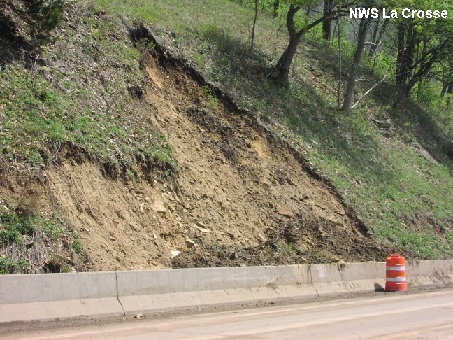
The area between Lansing Iowa, De Soto and Ferryville Wisconsin was especially hit hard with up to 5 inches of rain reported and numerous mud slides. Highways 35 and 26 on both sides of the Mississippi River were closed for a time due to mud slides and debris flows.
A 64-year old woman drowned when her vehicle was swept away from a swollen creek near the Bad Axe River in southwest Wisconsin sometime after 10 p.m. Saturday evening, May 8th. Her body was found about a quarter mile downstream and her car was 150-200 feet away.
Here is a quick summary...
Doppler Radar imagery:
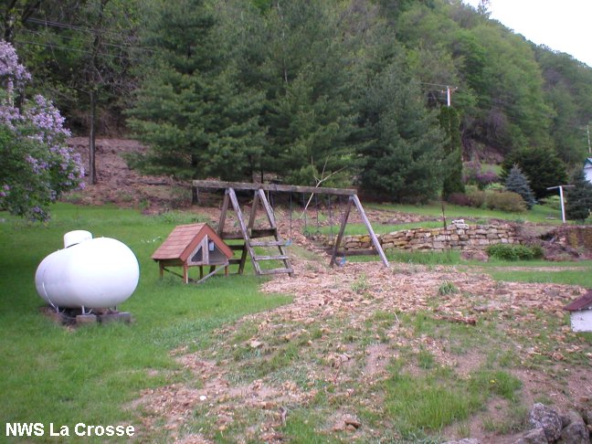
These photos of mud slides and debris flows taken by NWS La Crosse.
 |
 |
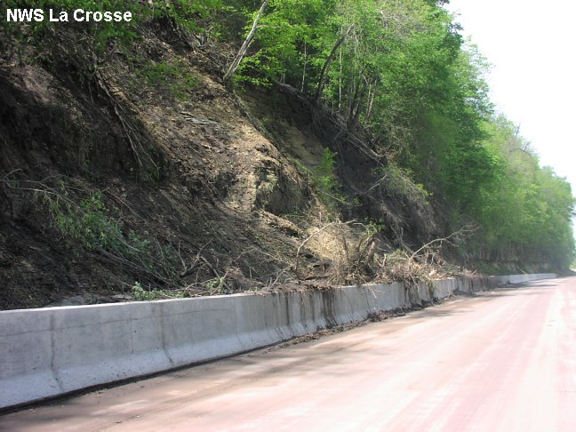 |
| Mud slides along Highway 35 north of Ferryville, WI. | Mud slides just south of Highway 82 on Highway 35. | Mud slides in Lansing, IA, along Highway 26. |
 |
||
| Debris flow in Lansing, IA. |
* = The 5 inch rainfall was an official reading from the Lansing Police Dept. There have been unofficial reports of over 7 inches in Lansing.


 Weather Story
 Weather Map
 Local Radar
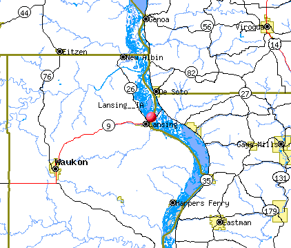