Isolated severe thunderstorms with locally damaging wind gusts and hail are possible Monday across parts of the Southeast U.S. Elevated to critical fire weather including gusty winds and low relative humidity is forecast Monday over much of the northern Great Plains. Above normal temperatures in the Southeast and Southwest U.S. will bring moderate to isolated major HeatRisk Monday. Read More >
Seattle, WA
Center Weather Service Unit
Area Headlines and Weather Stories for Smoke and Fire |
|
Satellite Analyzed Fires and Smoke with Surface Visibility Observations (sm) |
|
Satellite Analyzed Fires and Smoke with Latest Air Quality Observations (AQI) |
|
Surface Smoke Model Loop ⇛ Long Loop ⇛ Short Loop Vertically Integrated Smoke Model Loop |
|
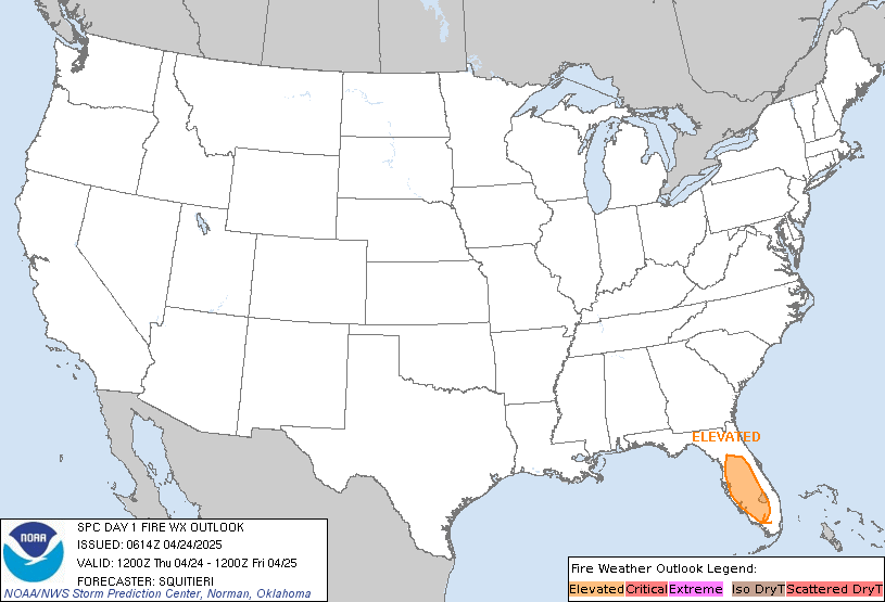
Fire Weather Outlook Day 1
|
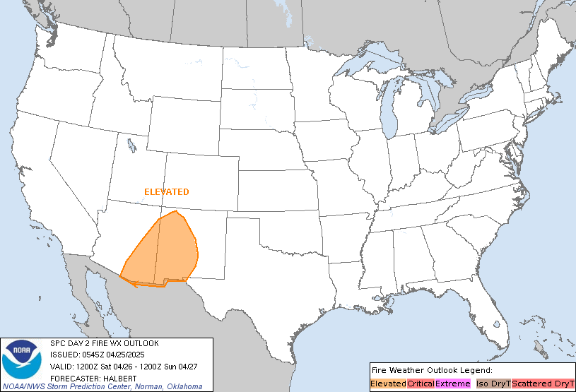
Fire Weather Outlook Day 2
|
GeoColor Satellite Loop with Lightning
|
|
TAFs and METARs with Smoke (FU) |
|
Other Sites |
|
US Dept of Commerce
National Oceanic and Atmospheric Administration
National Weather Service
Seattle, WA
3101 Auburn Way South
Auburn, WA 98092
Comments? Questions? Please Contact Us.

