Isolated severe thunderstorms with locally damaging wind gusts and hail are possible Monday across parts of the Southeast U.S. Elevated to critical fire weather including gusty winds and low relative humidity is forecast Monday over much of the northern Great Plains. Above normal temperatures in the Southeast and Southwest U.S. will bring moderate to isolated major HeatRisk Monday. Read More >
|
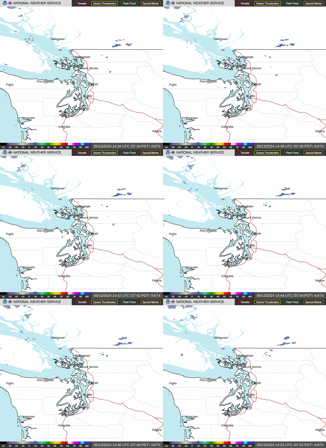
A Puget Sound Convergence Zone (PSCZ) forms when strong westerly winds flow around the Olympic Peninsula and converge over Puget Sound.
It generally forms north of Seattle, and may move southward to as far as Boeing Field or SeaTac Airport.
A PSCZ can cause a narrow band of convective precipitation along it, which can include rain showers, thunderstorms, or snowfall.
Strong south to southwest winds are to the south of the PSCZ and north to northwest winds to the north.
More model information for the winds around SeaTac can be found on the SeaTac Wind Page . |
|
 |
 |
| Hover over or click station to get METAR and TAF (if available) |
Wind Barbs, PIREPs, Radar, 10nm Range Rings, all sites except CWOP |
|
285 FTUS46 KSEW 142056 AAA TAFSEA TAF AMD KSEA 142056Z 1421/1524 21012G22KT P6SM SCT050 BKN150 FM142200 22013G21KT P6SM -SHRA OVC050 FM150500 20009KT P6SM VCSH SCT025 OVC060 FM150900 19012KT P6SM VCSH OVC025 FM151400 20015KT P6SM OVC035 FM151700 20014G20KT P6SM VCSH OVC025= |
|
|
397 FTUS46 KSEW 141720 TAFBFI TAF KBFI 141720Z 1418/1518 19010G20KT P6SM FEW015 BKN025 FM142200 20010G17KT P6SM -SHRA OVC050 FM150300 20007KT P6SM OVC060 FM150700 17010KT P6SM VCSH OVC030 FM151300 17011KT P6SM OVC050= |
|
|
577 FTUS46 KSEW 141720 TAFPAE TAF KPAE 141720Z 1418/1518 20006KT P6SM BKN025 OVC035 FM142200 20012KT P6SM VCSH OVC035 FM150300 17009KT P6SM VCSH OVC025 FM151200 16007KT P6SM VCSH OVC040= |
|