Isolated severe storms capable of hail and gusty winds are possible mainly this evening across portions of the mid-Mississippi Valley. Clusters of thunderstorms may produce isolated flash flooding in the Florida peninsula. Elevated fire weather risk is possible in the Northern Plains into western Minnesota. Read More >

Are you Weather-Ready?
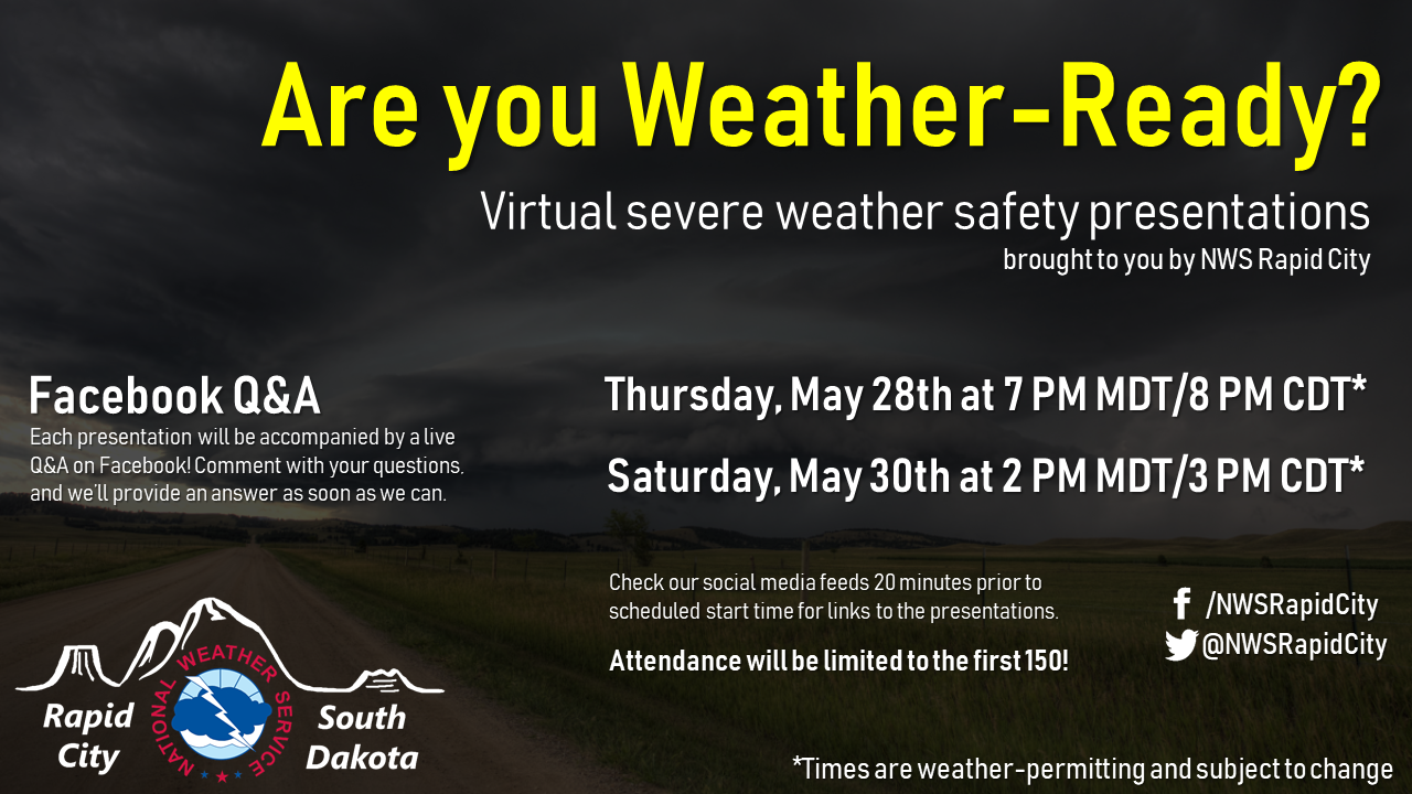
With severe weather season ramping up across northeastern Wyoming and western South Dakota, we wanted to help you prepare for the potential hazards that could impact you this spring and summer. To do so, we are hosting two virtual severe weather safety presentations later this week, each of which will provide an overview on what to do before, during, and after severe weather strikes.
The presentations are currently scheduled for Thursday evening at 7 PM MDT/8 PM CDT and Saturday afternoon at 2 PM MDT/3 PM CDT, though these times are subject to change based on weather or unforeseen circumstances. Because the material in each will be identical and the presentations are limited to 150 attendees, pick the time that works best for you and check our social media feeds 20 minutes prior to the scheduled time for a link to the presentation.
During each presentation, we'll also be hosting a live Q&A on Facebook! Comment on our post linking to the presentation, and a meteorologist will be here to answer your questions as soon as possible.
We look forward to speaking to you then!