
Heavy rainfall from scattered thunderstorms is expected across the Southwest, Intermountain West, and Plains. Isolated dry thunderstorms may initiate additional fires across the west. The coastal Carolinas may experience flash floods in the coming days due to repeated thunderstorms. Additionally, a wave of intense summer heat will hit the Southern Plains and central Gulf Coast States this week. Read More >
Rapid City, SD
Weather Forecast Office
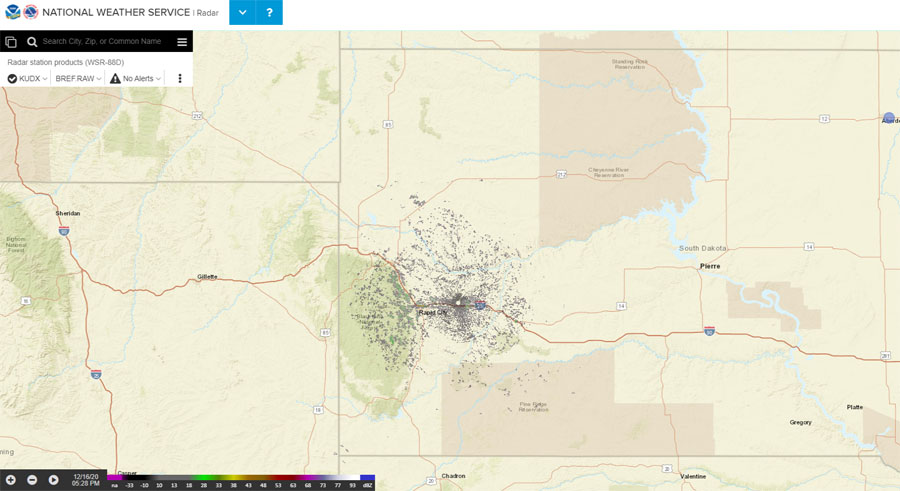
The National Weather Service Doppler radar web page at https://radar.weather.gov/ is available. The individual NWS radar web pages (for example, https://radar.weather.gov/radar.php?rid=udx) have been discontinued, so if you have them bookmarked, you will have to make new ones.
The page opens to a national composite radar image, from which you can zoom into your area, or you can select to view a single radar site.
Features of the new interactive page include:
A FAQ web page, web tutorial, and video tutorial explain the settings and provide guidance how to use the new radar page.
If you have any questions about the new site, you may contact our webmaster.
US Dept of Commerce
National Oceanic and Atmospheric Administration
National Weather Service
Rapid City, SD
300 East Signal Drive
Rapid City, SD 57701-3800
605-341-9271
Comments? Questions? Please Contact Us.

