
Heavy rainfall from scattered thunderstorms is expected across the Southwest, Intermountain West, and Plains. Isolated dry thunderstorms may initiate additional fires across the west. The coastal Carolinas may experience flash floods in the coming days due to repeated thunderstorms. Additionally, a wave of intense summer heat will hit the Southern Plains and central Gulf Coast States this week. Read More >
Rapid City, SD
Weather Forecast Office
The radar display, located at the bottom right of our web page (listed as Local Radar), may not load any radar data. A temporary solution is to select another surrounding radar by scrolling out on the map and using your mouse to click on another radar site (such as Billings, Bismarck, Aberdeen, etc.). After data loads for the other site, use your mouse to select our radar site again. This should load the data. Thank you for your patience while a permanent fix is worked on.
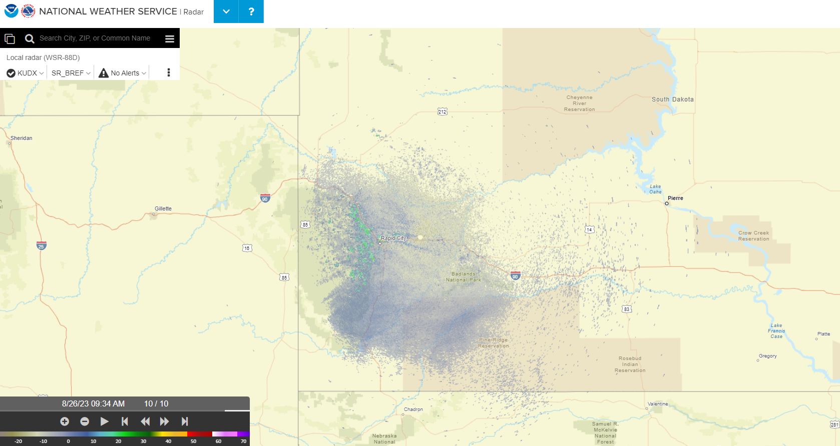
Click for the Radar Display map
US Dept of Commerce
National Oceanic and Atmospheric Administration
National Weather Service
Rapid City, SD
300 East Signal Drive
Rapid City, SD 57701-3800
605-341-9271
Comments? Questions? Please Contact Us.

